53 2 Bluff Ln Unit 3054 Port Townsend, WA 98368
Kala Point NeighborhoodEstimated Value: $528,000 - $600,000
2
Beds
2
Baths
1,398
Sq Ft
$401/Sq Ft
Est. Value
About This Home
This home is located at 53 2 Bluff Ln Unit 3054, Port Townsend, WA 98368 and is currently estimated at $560,489, approximately $400 per square foot. 53 2 Bluff Ln Unit 3054 is a home located in Jefferson County with nearby schools including Salish Coast Elementary School, Blue Heron Middle School, and Port Townsend High School.
Ownership History
Date
Name
Owned For
Owner Type
Purchase Details
Closed on
May 28, 2024
Sold by
Richard Dorrell Living Trust and Dorrell Richard
Bought by
Schneider Living Trust and Schneider
Current Estimated Value
Purchase Details
Closed on
Aug 17, 2017
Sold by
Anderson Kathleen A
Bought by
Dorrell Richard and The Richard Dorrell Living Trust
Purchase Details
Closed on
Mar 18, 2010
Sold by
Kala Bluffs Llc
Bought by
Anderson Janet F
Purchase Details
Closed on
May 10, 2007
Sold by
Reina Alaska Llc
Bought by
Kelley Shields Inc
Purchase Details
Closed on
Apr 19, 2006
Sold by
Kala Point Development Co
Bought by
Reina Slaska Llc
Create a Home Valuation Report for This Property
The Home Valuation Report is an in-depth analysis detailing your home's value as well as a comparison with similar homes in the area
Home Values in the Area
Average Home Value in this Area
Purchase History
| Date | Buyer | Sale Price | Title Company |
|---|---|---|---|
| Schneider Living Trust | $555,000 | Frontier Title | |
| Dorrell Richard | $299,000 | Jefferson Title Co Inc | |
| Anderson Janet F | $240,000 | Jefferson Title Co Inc | |
| Anderson Janet F | $240,000 | Jefferson Title Co Inc | |
| Kelley Shields Inc | $15,000 | None Available | |
| Reina Slaska Llc | $2,500 | None Available |
Source: Public Records
Tax History Compared to Growth
Tax History
| Year | Tax Paid | Tax Assessment Tax Assessment Total Assessment is a certain percentage of the fair market value that is determined by local assessors to be the total taxable value of land and additions on the property. | Land | Improvement |
|---|---|---|---|---|
| 2024 | $4,110 | $513,280 | $119,000 | $394,280 |
| 2023 | $4,110 | $471,124 | $119,000 | $352,124 |
| 2022 | $3,488 | $432,138 | $102,000 | $330,138 |
| 2021 | $3,272 | $364,216 | $85,000 | $279,216 |
| 2020 | $3,355 | $320,510 | $74,800 | $245,710 |
| 2019 | $2,763 | $320,510 | $74,800 | $245,710 |
| 2018 | $2,983 | $281,264 | $68,000 | $213,264 |
| 2017 | $2,176 | $267,436 | $65,025 | $202,411 |
| 2016 | $2,081 | $206,800 | $65,025 | $141,775 |
| 2015 | $2,085 | $206,800 | $65,025 | $141,775 |
| 2014 | -- | $206,800 | $65,025 | $141,775 |
| 2013 | -- | $206,800 | $65,025 | $141,775 |
Source: Public Records
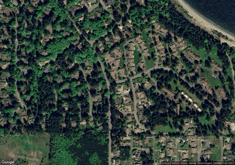
Map
Nearby Homes
- 63 Bluffs Ln Unit 1
- 10 Windship Dr
- 190 Bluffs Dr Unit 1
- 31 -2 Bluffs Ct
- 273 Foxfield Dr
- 267 Foxfield Dr
- 28 Buckhorn Place
- 0 Buckhorn Place
- 261 Sailview Dr Unit 1
- 999 Kala Lagoon Ct
- 75 Kala Lagoon Ct
- 0 S Duquesne Ave
- 32 S Duquesne Ave
- 82 S Victory Ave
- 783 Prospect Ave
- 0 N Andrew Ave
- 20 Seaview Ct Unit 1
- 593 Prospect Ave
- 225 Belvedere Dr
- 1291 Woodland Dr