53 Bay Pointe Drive Extension Bourne, MA 02532
Estimated Value: $518,000 - $580,000
2
Beds
2
Baths
1,612
Sq Ft
$336/Sq Ft
Est. Value
About This Home
This home is located at 53 Bay Pointe Drive Extension, Bourne, MA 02532 and is currently estimated at $541,730, approximately $336 per square foot. 53 Bay Pointe Drive Extension is a home located in Plymouth County.
Ownership History
Date
Name
Owned For
Owner Type
Purchase Details
Closed on
Sep 1, 2021
Sold by
Swan Peter N and Swan Adrianna D
Bought by
Mcisaac Gail
Current Estimated Value
Home Financials for this Owner
Home Financials are based on the most recent Mortgage that was taken out on this home.
Original Mortgage
$382,500
Outstanding Balance
$345,986
Interest Rate
2.7%
Mortgage Type
New Conventional
Estimated Equity
$195,744
Purchase Details
Closed on
Oct 31, 2019
Sold by
Burton Ft and Burton
Bought by
Swan Peter N and Swan Andrianna D
Purchase Details
Closed on
Dec 6, 2000
Sold by
Bay Pointe Constr Inc
Bought by
Burton Gordon G and Burton Marilyn A
Home Financials for this Owner
Home Financials are based on the most recent Mortgage that was taken out on this home.
Original Mortgage
$80,000
Interest Rate
7.64%
Mortgage Type
Purchase Money Mortgage
Create a Home Valuation Report for This Property
The Home Valuation Report is an in-depth analysis detailing your home's value as well as a comparison with similar homes in the area
Home Values in the Area
Average Home Value in this Area
Purchase History
| Date | Buyer | Sale Price | Title Company |
|---|---|---|---|
| Mcisaac Gail | $445,000 | None Available | |
| Mcisaac Gail | $445,000 | None Available | |
| Mcisaac Gail | $445,000 | None Available | |
| Swan Peter N | $350,000 | -- | |
| Swan Peter N | $350,000 | -- | |
| Burton Gordon G | $189,900 | -- |
Source: Public Records
Mortgage History
| Date | Status | Borrower | Loan Amount |
|---|---|---|---|
| Open | Mcisaac Gail | $382,500 | |
| Closed | Mcisaac Gail | $382,500 | |
| Previous Owner | Burton Gordon G | $100,000 | |
| Previous Owner | Burton Gordon G | $80,000 |
Source: Public Records
Tax History Compared to Growth
Tax History
| Year | Tax Paid | Tax Assessment Tax Assessment Total Assessment is a certain percentage of the fair market value that is determined by local assessors to be the total taxable value of land and additions on the property. | Land | Improvement |
|---|---|---|---|---|
| 2025 | $4,976 | $453,200 | $0 | $453,200 |
| 2024 | $5,071 | $434,200 | $0 | $434,200 |
| 2023 | $4,470 | $374,000 | $0 | $374,000 |
| 2022 | $4,470 | $328,200 | $0 | $328,200 |
| 2021 | $4,501 | $321,500 | $0 | $321,500 |
| 2020 | $4,408 | $321,500 | $0 | $321,500 |
| 2019 | $4,037 | $297,700 | $0 | $297,700 |
| 2018 | $3,871 | $275,700 | $0 | $275,700 |
| 2017 | $3,896 | $278,700 | $0 | $278,700 |
| 2016 | $3,613 | $256,400 | $0 | $256,400 |
| 2015 | $3,424 | $249,900 | $0 | $249,900 |
| 2014 | $3,194 | $240,300 | $0 | $240,300 |
Source: Public Records
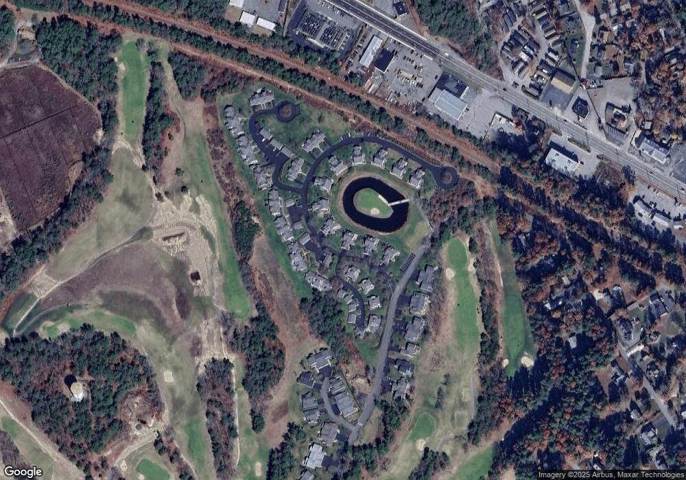
Map
Nearby Homes
- 69 Bay Pointe Drive Extension Unit 69
- 37 Bay Pointe Drive Extension Unit 37
- 13 Bay Pointe Drive Extension Unit 13
- 45 Bay Pointe Drive Extension Unit 45
- 3132 Cranberry Hwy Unit 59
- 22 Long Neck Rd
- 3 Fairway Dr Unit F
- 18 Martin St
- 1 Pine Tree Dr
- 6 Unit 74
- 0 Broad St Off Unit 72362523
- 9 22nd St
- 11 22nd St
- 35 Locust St
- 35 Locust St
- 17 Carleton St Unit 17
- 56 Rip Van Winkle Way
- 3040 Cranberry Hwy Unit 16
- 3040 Cranberry Hwy Unit 32
- 3040 Cranberry Hwy Unit 10
- 53 Bay Pointe Drive Extension Unit 53
- 53 Bay Pointe Drive Extension Unit Lot 19
- 50 Bay Pointe Drive Extension Unit 50
- 60 Bay Pointe Dr Extension Unit 60
- 54 Bay Pointe Drive Extension Unit 54
- 57 Bay Pointe Drive Extension Unit 57
- 59 Bay Pointe Drive Extension Unit 59
- 58 Bay Pointe Drive Extension Unit 58
- 59 Bay Pointe Drive Extension Unit 59
- 62 Bay Pointe Drive Extension Unit 62
- 63 Bay Pointe Drive Extension
- 63 Bay Pointe Drive Extension Unit 63
- 60 Bay Pointe Drive Extension Unit 60
- 16 Baypointe Dr Unit 16
- 64 Bay Pointe Dr Extension Unit 64
- 16 Bay Pointe Dr Extension Unit 16
- 35 Bay Pointe Drive Extension Unit 35
- 35 Bay Pointe Drive Extension Unit Lot 28
- 35 Bay Pointe Drive Extension
- 34 Bay Pointe Drive Extension Unit 34