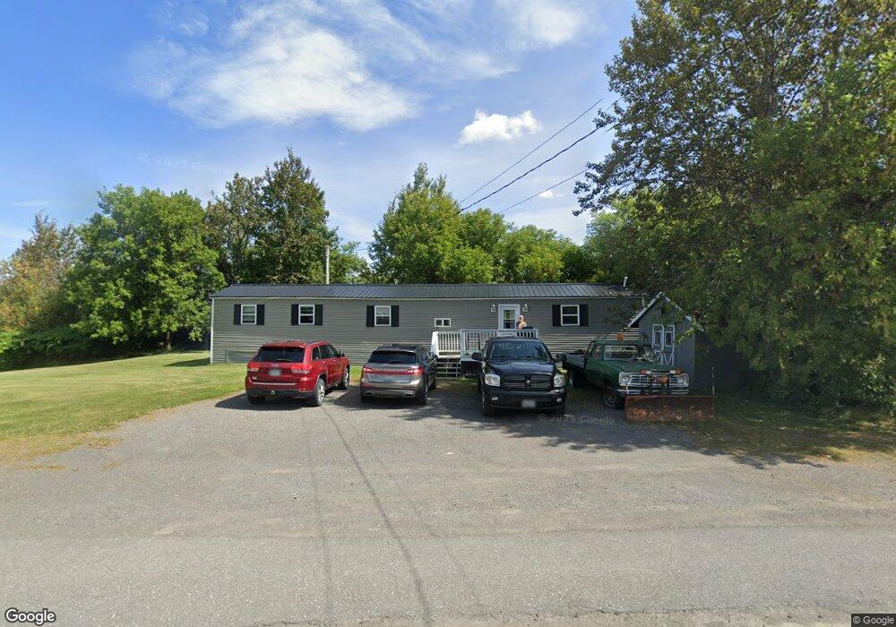
53 Benjamin St Mars Hill, ME 04758
Estimated Value: $53,261 - $136,000
Studio
--
Bath
--
Sq Ft
0.45
Acres
About This Home
This home is located at 53 Benjamin St, Mars Hill, ME 04758 and is currently estimated at $89,815. 53 Benjamin St is a home with nearby schools including Fort Street School and Central Aroostook Junior/Senior High School.
Ownership History
Date
Name
Owned For
Owner Type
Purchase Details
Closed on
Sep 12, 2006
Sold by
Michaud Larry R and Michaud Sonja R
Bought by
Depeau Richard F and Depeau Kathryn E
Current Estimated Value
Home Financials for this Owner
Home Financials are based on the most recent Mortgage that was taken out on this home.
Original Mortgage
$15,000
Outstanding Balance
$9,067
Interest Rate
6.79%
Mortgage Type
Commercial
Estimated Equity
$80,748
Purchase Details
Closed on
Jun 6, 2005
Sold by
Duncan Albert L and Oclair Srisuda
Bought by
Michaud Larry R and Michaud Sonja R
Home Financials for this Owner
Home Financials are based on the most recent Mortgage that was taken out on this home.
Original Mortgage
$16,000
Interest Rate
5.83%
Mortgage Type
Commercial
Create a Home Valuation Report for This Property
The Home Valuation Report is an in-depth analysis detailing your home's value as well as a comparison with similar homes in the area
Purchase History
| Date | Buyer | Sale Price | Title Company |
|---|---|---|---|
| Depeau Richard F | -- | -- | |
| Michaud Larry R | -- | -- |
Source: Public Records
Mortgage History
| Date | Status | Borrower | Loan Amount |
|---|---|---|---|
| Open | Depeau Richard F | $15,000 | |
| Previous Owner | Michaud Larry R | $16,000 |
Source: Public Records
Tax History
| Year | Tax Paid | Tax Assessment Tax Assessment Total Assessment is a certain percentage of the fair market value that is determined by local assessors to be the total taxable value of land and additions on the property. | Land | Improvement |
|---|---|---|---|---|
| 2022 | $556 | $32,600 | $9,000 | $23,600 |
| 2021 | $608 | $32,600 | $9,000 | $23,600 |
| 2020 | $290 | $32,600 | $9,000 | $23,600 |
| 2019 | $571 | $32,600 | $9,000 | $23,600 |
| 2018 | $145 | $32,600 | $9,000 | $23,600 |
| 2017 | $3,428 | $32,600 | $9,000 | $23,600 |
| 2016 | $99 | $32,600 | $9,000 | $23,600 |
| 2015 | $538 | $32,600 | $9,000 | $23,600 |
| 2014 | $538 | $19,400 | $3,500 | $15,900 |
| 2013 | $500 | $19,400 | $3,500 | $15,900 |
Source: Public Records
Map
Nearby Homes
- 8 Benjamin St
- 11 Gilman St
- 77 Main St
- 8 Robinson Rd
- 107 Robinson Rd
- 338 Kinney Rd
- 381 Bubar Rd
- Map11 Lot1 High St
- 676 Houlton Rd
- 0 Young Lake Rd Unit 1651788
- 296 W Ridge Rd
- 227 Boundary Line Rd
- 95 Boundary Line Rd
- 234 Ladner Rd
- 130 Graham Rd
- 389 Houlton Rd
- 228 U S Route 1
- 77 Perry Rd
- 83 Center Rd
- 33 Station Rd
Your Personal Tour Guide
Ask me questions while you tour the home.