53 Brians Way Louisburg, NC 27549
Estimated Value: $302,000 - $457,629
3
Beds
2
Baths
1,786
Sq Ft
$211/Sq Ft
Est. Value
About This Home
This home is located at 53 Brians Way, Louisburg, NC 27549 and is currently estimated at $376,657, approximately $210 per square foot. 53 Brians Way is a home located in Franklin County with nearby schools including Laurel Mill Elementary School, Terrell Lane Middle School, and Louisburg High School.
Ownership History
Date
Name
Owned For
Owner Type
Purchase Details
Closed on
Aug 3, 2005
Sold by
Louisburg Hardwood Inc
Bought by
Harris Henry Lindwood
Current Estimated Value
Home Financials for this Owner
Home Financials are based on the most recent Mortgage that was taken out on this home.
Original Mortgage
$156,413
Interest Rate
5.51%
Mortgage Type
New Conventional
Create a Home Valuation Report for This Property
The Home Valuation Report is an in-depth analysis detailing your home's value as well as a comparison with similar homes in the area
Home Values in the Area
Average Home Value in this Area
Purchase History
| Date | Buyer | Sale Price | Title Company |
|---|---|---|---|
| Harris Henry Lindwood | $25,000 | None Available |
Source: Public Records
Mortgage History
| Date | Status | Borrower | Loan Amount |
|---|---|---|---|
| Closed | Harris Henry Lindwood | $156,413 |
Source: Public Records
Tax History Compared to Growth
Tax History
| Year | Tax Paid | Tax Assessment Tax Assessment Total Assessment is a certain percentage of the fair market value that is determined by local assessors to be the total taxable value of land and additions on the property. | Land | Improvement |
|---|---|---|---|---|
| 2024 | $2,032 | $337,160 | $116,180 | $220,980 |
| 2023 | $1,731 | $188,530 | $41,390 | $147,140 |
| 2022 | $1,721 | $188,530 | $41,390 | $147,140 |
| 2021 | $1,740 | $188,530 | $41,390 | $147,140 |
| 2020 | $1,751 | $188,530 | $41,390 | $147,140 |
| 2019 | $1,741 | $188,530 | $41,390 | $147,140 |
| 2018 | $1,736 | $188,530 | $41,390 | $147,140 |
| 2017 | $1,699 | $166,880 | $36,430 | $130,450 |
| 2016 | $1,757 | $166,880 | $36,430 | $130,450 |
| 2015 | $1,757 | $166,880 | $36,430 | $130,450 |
| 2014 | $1,645 | $166,880 | $36,430 | $130,450 |
Source: Public Records
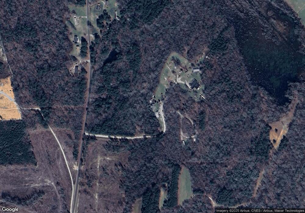
Map
Nearby Homes
- 0 Sutton Rd
- 70 Acres Sutton Rd
- 2253 Pete Smith Rd
- 76 Sutton Rd
- 09 Tillery Dr
- 11 Tillery Dr
- 06 Tillery Dr
- 08 Tillery Dr
- 4224 Us 401 Hwy N
- 0 Alert Rd
- 979 Alert Rd
- 994 Alert Rd
- 00 Alert
- 307 Wilson-Fuller Rd
- 0 Roy Tharrington Rd
- 35 Jonesville Ln
- 0 Peg Williams Rd
- 592 Perdues Rd
- 2329 N Carolina 561
- 20.37 Acre Opie Frazier Rd
- 0 Brian's Way
- 1049 Pete Smith Rd
- 1049 Pete Smith Rd
- 1069 Pete Smith Rd
- 1069 Pete Smith Rd
- 1104 Pete Smith Rd
- 1138 Pete Smith Rd
- 1138 Pete Smith Rd
- 1135 Pete Smith Rd
- 897 Pete Smith Rd
- 1172 Pete Smith Rd
- 1198 Pete Smith Rd
- 825 Pete Smith Rd
- 1224 Pete Smith Rd
- 0 Pete Smith Rd Unit 759788
- Off Pete Smith Rd
- 0 Pete Smith Rd Unit 972573
- 0 Pete Smith Rd Unit 821526
- 0 Pete Smith Rd Unit 821678
- Lot 4 Pete Smith Rd