53 Brook Rd Hewitt, NJ 07421
Estimated Value: $371,089 - $539,000
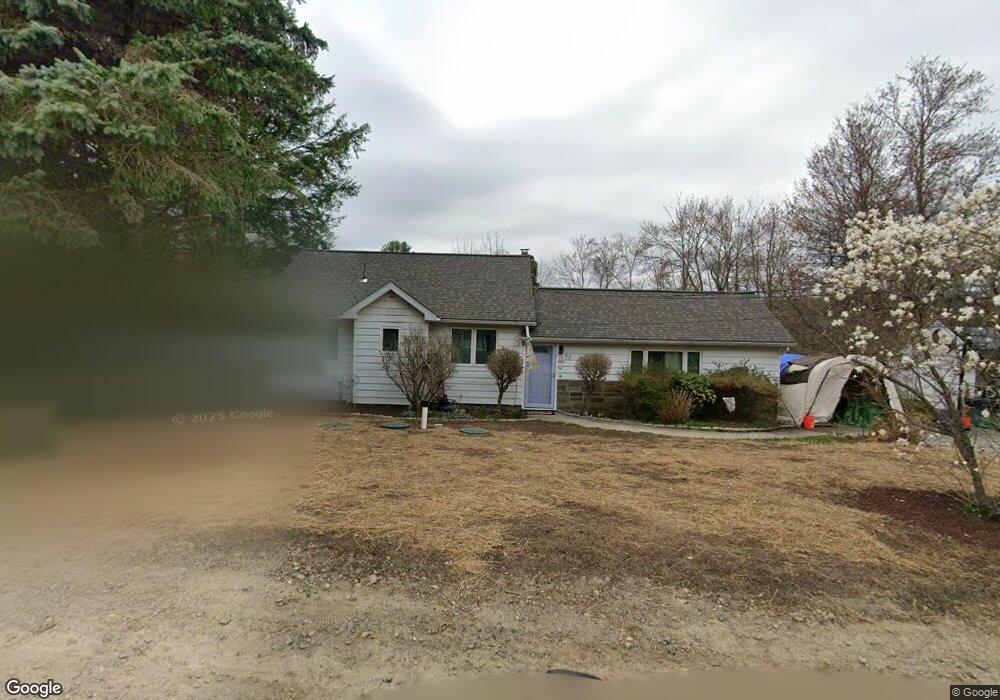
About This Home
This home is located at 53 Brook Rd, Hewitt, NJ 07421 and is currently estimated at $435,022, approximately $292 per square foot. 53 Brook Rd is a home located in Passaic County with nearby schools including Macopin Middle School and West Milford High School.
Ownership History
We collect this data history from publicly available records. To have your information removed, we recommend requesting removal directly through your county’s website.
Purchase Details
Home Financials for this Owner
Home Financials are based on the most recent Mortgage that was taken out on this home.Home Values in the Area
Average Home Value in this Area
Purchase History
We collect this data history from publicly available records. To have your information removed, we recommend requesting removal directly through your county’s website.
| Date | Buyer | Sale Price | Title Company |
|---|---|---|---|
| $146,500 | -- |
Mortgage History
We collect this data history from publicly available records. To have your information removed, we recommend requesting removal directly through your county’s website.
| Date | Status | Borrower | Loan Amount |
|---|---|---|---|
| Open | $117,000 |
Tax History
We collect this data history from publicly available records. To have your information removed, we recommend requesting removal directly through your county’s website.
| Year | Tax Paid | Tax Assessment Tax Assessment Total Assessment is a certain percentage of the fair market value that is determined by local assessors to be the total taxable value of land and additions on the property. | Land | Improvement |
|---|---|---|---|---|
| 2025 | $8,173 | $201,600 | $84,800 | $116,800 |
| 2024 | $8,215 | $201,600 | $84,800 | $116,800 |
| 2022 | $7,798 | $201,600 | $84,800 | $116,800 |
| 2021 | $7,631 | $201,600 | $84,800 | $116,800 |
| 2020 | $7,550 | $201,600 | $84,800 | $116,800 |
| 2019 | $7,449 | $201,600 | $84,800 | $116,800 |
| 2018 | $7,431 | $201,600 | $84,800 | $116,800 |
| 2017 | $7,465 | $201,600 | $84,800 | $116,800 |
| 2016 | $7,477 | $201,600 | $84,800 | $116,800 |
| 2015 | $7,391 | $201,600 | $84,800 | $116,800 |
| 2014 | $7,211 | $201,600 | $84,800 | $116,800 |
Map
- 16 Bear Trail
- 00-1 Clinton Rd
- 469 Warwick Turnpike
- 8 Tyler Place
- 64 Larchmont Dr
- 427 Warwick Turnpike
- 42 Witte Rd
- 13 Island Trail
- 42 Goldfinch Ln
- 48 Goldfinch Ln
- 51 Goldfinch Ln
- 103 Cherry Ridge Rd
- 655 Warwick Turnpike
- 1761 Clinton Rd
- 4 Wyckoff Ct
- 677 Warwick Turnpike
- 6 Florence Rd
- 119 Lake Shore Dr
- 628-630 N Lake Shore Dr
- 3 Neptune Rd
- 57 Brook Rd
- 49 Brook Rd
- 54 Brook Rd
- 50 Brook Rd
- 60 Brook Rd
- 44 Brook Rd
- 3 Cutlass Rd
- 66 Brook Rd
- 9 Cutlass Rd
- 0 Brook Rd Unit 3989068
- 0 Brook Rd Unit 23013515
- 0 Brook Rd Unit 22012016
- 0 Brook Rd Unit 3774448
- 1920 Clinton Rd
- 40 Brook Rd
- 6 Cutlass Rd
- 35 Brook Rd
- 34 Brook Rd
- 42 Commanche Ln
- 1914 Clinton Rd
Ask me questions while you tour the home.