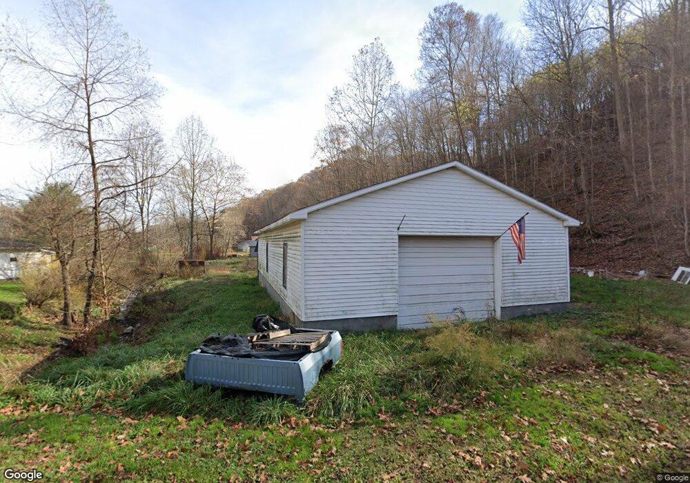
53 Burns Left Fork Rd Lucasville, OH 45648
Estimated Value: $85,214 - $98,000
3
Beds
2
Baths
1,900
Sq Ft
$48/Sq Ft
Est. Value
About This Home
This home is located at 53 Burns Left Fork Rd, Lucasville, OH 45648 and is currently estimated at $91,607, approximately $48 per square foot. 53 Burns Left Fork Rd is a home located in Scioto County with nearby schools including Valley Elementary School, Valley Middle School, and Valley High School.
Ownership History
Date
Name
Owned For
Owner Type
Purchase Details
Closed on
Sep 2, 2021
Sold by
Brown Jeffrey A and Brown Teresa G
Bought by
Ortex Systems Incorporated
Current Estimated Value
Purchase Details
Closed on
Sep 30, 2008
Sold by
Liles Eddie Arnold P
Bought by
Brown Jeffrey A and Brown Teresa G
Purchase Details
Closed on
Jan 1, 1987
Bought by
Liles Ii Eddie Arnold
Create a Home Valuation Report for This Property
The Home Valuation Report is an in-depth analysis detailing your home's value as well as a comparison with similar homes in the area
Home Values in the Area
Average Home Value in this Area
Purchase History
| Date | Buyer | Sale Price | Title Company |
|---|---|---|---|
| Ortex Systems Incorporated | $50,000 | None Available | |
| Brown Jeffrey A | -- | -- | |
| Liles Ii Eddie Arnold | -- | -- |
Source: Public Records
Tax History Compared to Growth
Tax History
| Year | Tax Paid | Tax Assessment Tax Assessment Total Assessment is a certain percentage of the fair market value that is determined by local assessors to be the total taxable value of land and additions on the property. | Land | Improvement |
|---|---|---|---|---|
| 2024 | $355 | $7,820 | $4,350 | $3,470 |
| 2023 | $355 | $7,820 | $4,350 | $3,470 |
| 2022 | $355 | $7,820 | $4,350 | $3,470 |
| 2021 | $329 | $7,140 | $3,690 | $3,450 |
| 2020 | $324 | $7,140 | $3,690 | $3,450 |
| 2019 | $317 | $6,410 | $3,280 | $3,130 |
| 2018 | $294 | $6,410 | $3,280 | $3,130 |
| 2017 | $294 | $6,410 | $3,280 | $3,130 |
| 2016 | $147 | $6,200 | $2,950 | $3,250 |
| 2015 | $285 | $6,200 | $2,950 | $3,250 |
| 2013 | $255 | $6,200 | $2,950 | $3,250 |
Source: Public Records
Map
Nearby Homes
- 7042 Ohio 139
- 7080 Ohio 139
- 7948 State Route 139
- 8499 Ohio 139
- 296 Clay Dr
- 640 Rases Mountain Dr
- 311 Diane St
- 0-5A Rice Rd
- 0-5B Rice Rd
- 0-5 Rice Rd
- 0-2C Rice Rd
- 0-2B Rice Rd
- 0-2A Rice Rd
- Lot 9 Hearthstone Dr
- 0 Hearthstone Dr
- 436 High St
- 224 Breckenridge Dr
- 448 Houston Hollow Rd
- 13 Cornerstone Dr
- 373 Piketon Rd
- 53 Burns Left Fork Rd
- 597 Burns Hollow Rd
- 597 Burns Hollow Rd
- 92 Burns Left Fork Rd
- 75 Cox Rd
- 513 Burns Hollow Rd
- 512 Burns Hollow Rd
- 512 Burns Hollow Rd
- 645 Burns Hollow Rd
- 126 Burns Left Fork Rd
- 435 Burns Hollow Rd
- 150 Burns Left Fork Rd
- 150 Burns Road Left Fork
- 413 Burns Hollow Rd
- 388 Burns Rd
- 542 Burns Hollow Rd
- 712 Burns Hollow Rd
- 596 Burns Hollow Rd
- 606 Burns Hollow Rd
- 388 Burns Hollow Rd