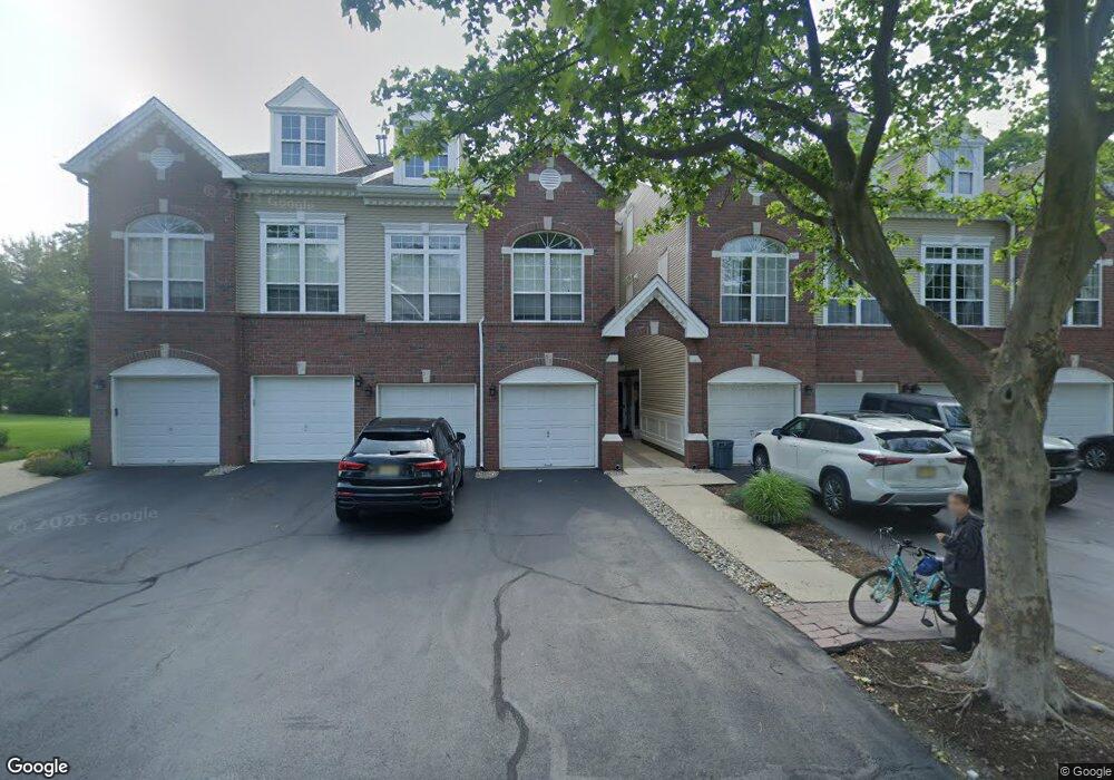
53 Carter Rd Haskell, NJ 07420
Estimated Value: $429,379 - $543,000
Studio
--
Bath
1,482
Sq Ft
$331/Sq Ft
Est. Value
About This Home
This home is located at 53 Carter Rd, Haskell, NJ 07420 and is currently estimated at $491,095, approximately $331 per square foot. 53 Carter Rd is a home located in Passaic County with nearby schools including Lakeland Reg High School and St Marys School.
Ownership History
Date
Name
Owned For
Owner Type
Purchase Details
Closed on
Jun 5, 2008
Sold by
Owens Leon and Owens Carol
Bought by
Vitale Michael
Current Estimated Value
Home Financials for this Owner
Home Financials are based on the most recent Mortgage that was taken out on this home.
Original Mortgage
$303,700
Outstanding Balance
$195,381
Interest Rate
6.1%
Mortgage Type
FHA
Estimated Equity
$295,714
Purchase Details
Closed on
Jul 29, 2005
Sold by
Nadkarni Kiran
Bought by
Piersa Carol Ventro Nka Carol
Home Financials for this Owner
Home Financials are based on the most recent Mortgage that was taken out on this home.
Original Mortgage
$268,400
Interest Rate
5.63%
Purchase Details
Closed on
Aug 31, 2004
Sold by
Finch Scott Raymond
Bought by
Nadkarni Kiran and Nadkarni Mangala
Home Financials for this Owner
Home Financials are based on the most recent Mortgage that was taken out on this home.
Original Mortgage
$265,500
Interest Rate
6.01%
Create a Home Valuation Report for This Property
The Home Valuation Report is an in-depth analysis detailing your home's value as well as a comparison with similar homes in the area
Home Values in the Area
Average Home Value in this Area
Purchase History
| Date | Buyer | Sale Price | Title Company |
|---|---|---|---|
| Vitale Michael | $315,000 | -- | |
| Piersa Carol Ventro Nka Carol | $335,500 | -- | |
| Nadkarni Kiran | $295,000 | -- |
Source: Public Records
Mortgage History
| Date | Status | Borrower | Loan Amount |
|---|---|---|---|
| Open | Vitale Michael | $303,700 | |
| Previous Owner | Piersa Carol Ventro Nka Carol | $268,400 | |
| Previous Owner | Nadkarni Kiran | $265,500 |
Source: Public Records
Tax History
| Year | Tax Paid | Tax Assessment Tax Assessment Total Assessment is a certain percentage of the fair market value that is determined by local assessors to be the total taxable value of land and additions on the property. | Land | Improvement |
|---|---|---|---|---|
| 2025 | $9,463 | $219,400 | $65,000 | $154,400 |
| 2024 | $9,274 | $219,400 | $65,000 | $154,400 |
| 2022 | $9,079 | $219,400 | $65,000 | $154,400 |
| 2021 | $8,881 | $219,400 | $65,000 | $154,400 |
| 2020 | $8,783 | $219,400 | $65,000 | $154,400 |
| 2019 | $8,572 | $219,400 | $65,000 | $154,400 |
| 2018 | $8,403 | $219,400 | $65,000 | $154,400 |
| 2017 | $8,206 | $219,400 | $65,000 | $154,400 |
| 2016 | $8,004 | $219,400 | $65,000 | $154,400 |
| 2015 | $7,890 | $219,400 | $65,000 | $154,400 |
| 2014 | $7,734 | $219,400 | $65,000 | $154,400 |
Source: Public Records
Map
Nearby Homes
- 59 Carter Rd Unit A2
- 72 Burnside Place
- 30 Decker Rd
- 23 Smith Ave
- 22 Wanaque Ave
- 19 Dogwood Ln Unit 19
- 19 Dogwood Ln Unit U9F
- 23 Dogwood Ln
- 9116 Warrens Way Unit 116
- 9116 Warrens Way
- 36 Elston Ct
- 12 Storms Ave
- 5 Storms Place
- 9411 Warrens Way
- 9402 Warrens Way
- 8212 Warrens Way
- 17 Locust St
- 5 Locust St
- 10123 Warrens Way
- 1025 Ringwood Ave
Your Personal Tour Guide
Ask me questions while you tour the home.