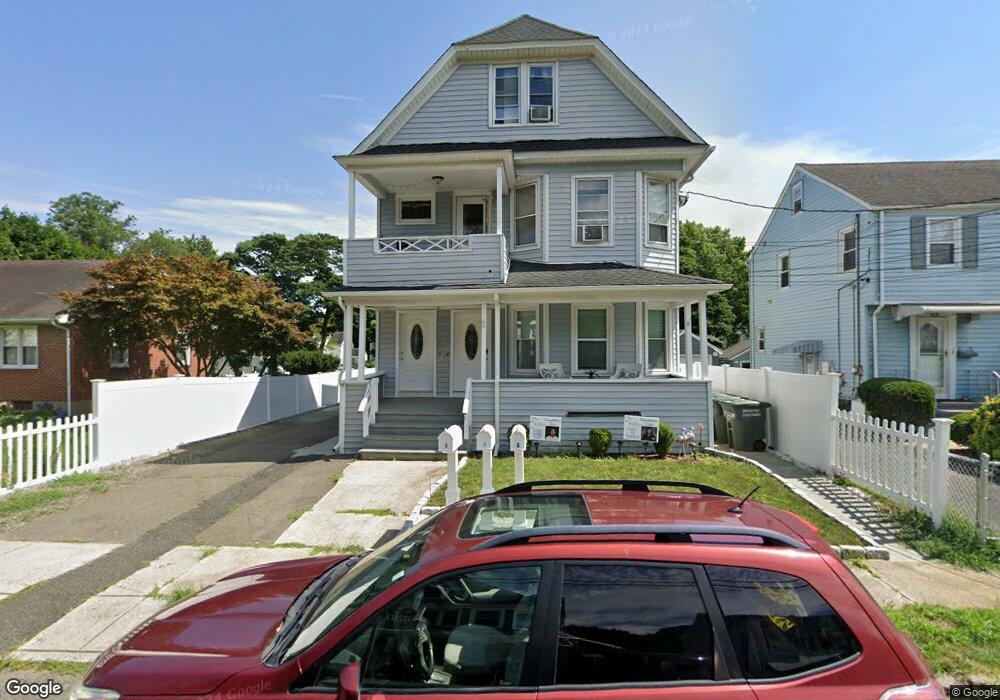
53 Charron St Unit 55 Bridgeport, CT 06606
North End NeighborhoodEstimated Value: $426,920 - $859,000
6
Beds
3
Baths
3,077
Sq Ft
$208/Sq Ft
Est. Value
About This Home
This home is located at 53 Charron St Unit 55, Bridgeport, CT 06606 and is currently estimated at $640,980, approximately $208 per square foot. 53 Charron St Unit 55 is a home located in Fairfield County with nearby schools including John Winthrop School, Central High School, and St Andrew School.
Ownership History
Date
Name
Owned For
Owner Type
Purchase Details
Closed on
May 3, 2018
Sold by
Block Phyllis Est
Bought by
Rocha Vilma
Current Estimated Value
Home Financials for this Owner
Home Financials are based on the most recent Mortgage that was taken out on this home.
Original Mortgage
$210,000
Outstanding Balance
$181,025
Interest Rate
4.45%
Mortgage Type
Unknown
Estimated Equity
$459,955
Purchase Details
Closed on
Jun 2, 1981
Bought by
Block Phyllis
Create a Home Valuation Report for This Property
The Home Valuation Report is an in-depth analysis detailing your home's value as well as a comparison with similar homes in the area
Home Values in the Area
Average Home Value in this Area
Purchase History
| Date | Buyer | Sale Price | Title Company |
|---|---|---|---|
| Rocha Vilma | $250,000 | -- | |
| Rocha Vilma | $250,000 | -- | |
| Block Phyllis | -- | -- |
Source: Public Records
Mortgage History
| Date | Status | Borrower | Loan Amount |
|---|---|---|---|
| Open | Block Phyllis | $210,000 | |
| Closed | Block Phyllis | $210,000 |
Source: Public Records
Tax History
| Year | Tax Paid | Tax Assessment Tax Assessment Total Assessment is a certain percentage of the fair market value that is determined by local assessors to be the total taxable value of land and additions on the property. | Land | Improvement |
|---|---|---|---|---|
| 2025 | $9,129 | $210,100 | $76,610 | $133,490 |
| 2024 | $9,129 | $210,100 | $76,610 | $133,490 |
| 2023 | $9,129 | $210,100 | $76,610 | $133,490 |
| 2022 | $9,129 | $210,100 | $76,610 | $133,490 |
| 2021 | $9,129 | $210,100 | $76,610 | $133,490 |
| 2020 | $8,177 | $151,450 | $40,010 | $111,440 |
| 2019 | $8,177 | $151,450 | $40,010 | $111,440 |
| 2018 | $8,234 | $151,450 | $40,010 | $111,440 |
| 2017 | $8,234 | $151,450 | $40,010 | $111,440 |
| 2016 | $8,234 | $151,450 | $40,010 | $111,440 |
| 2015 | $8,604 | $203,890 | $46,000 | $157,890 |
| 2014 | $8,604 | $203,890 | $46,000 | $157,890 |
Source: Public Records
Map
Nearby Homes
- 75 Fleet St
- 35 Marcel St
- 26 Victory St
- 315 Tesiny Ave
- 76 Luther St
- 200 Woodmont Ave Unit 130
- 578 Beechmont Ave
- 33 Trelane Dr
- 333 Vincellette St Unit 27
- 333 Vincellette St Unit 23
- 1095 Wayne St
- 360 Vincellette St
- 364 Griffin Ave
- 335 Glendale Ave Unit G11
- 345 Glendale Ave Unit A2
- 240 Valley Ave
- 316 Goldenrod Ave
- 948 Wayne St
- 1376 Chopsey Hill Rd
- 50 Greenhouse Rd Unit 26B
- 41 Charron St
- 23 Charron St Unit 25
- 23-25 Charron St
- 25 Charron St
- 42 Charron St Unit 44
- 17 Charron St
- 32 Charron St Unit 34
- 32 Charron St Unit 2
- 34 Charron St Unit 1
- 42-44 Charron St Unit 1
- 42-44 Charron St
- 36 Charron St
- 65 Charron St
- 26 Charron St
- 13 Charron St Unit 15
- 13-15 Charron St
- 105 Charron St Unit 2
- 105 Charron St Unit 2ND
- 39 Grenelle St
- 16 Charron St
Your Personal Tour Guide
Ask me questions while you tour the home.