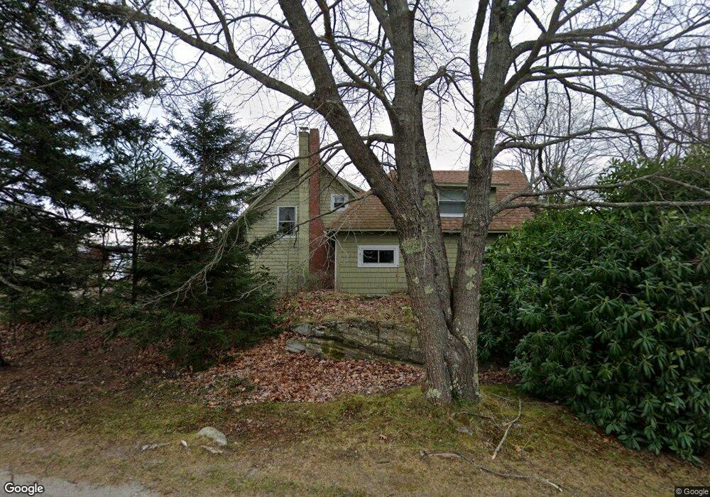
53 Clark Shore Rd Harpswell, ME 04079
Harpswell Neck NeighborhoodEstimated Value: $519,000 - $734,000
3
Beds
1
Bath
1,058
Sq Ft
$556/Sq Ft
Est. Value
About This Home
This home is located at 53 Clark Shore Rd, Harpswell, ME 04079 and is currently estimated at $587,719, approximately $555 per square foot. 53 Clark Shore Rd is a home located in Cumberland County with nearby schools including Mt Ararat High School.
Ownership History
Date
Name
Owned For
Owner Type
Purchase Details
Closed on
Dec 21, 2012
Sold by
Stpierre James S
Bought by
Johansen Sally
Current Estimated Value
Purchase Details
Closed on
Jun 13, 2007
Sold by
Field Frederick R and Field Richard E
Bought by
St Pierre James S and St Pierre Diana M
Home Financials for this Owner
Home Financials are based on the most recent Mortgage that was taken out on this home.
Original Mortgage
$137,500
Interest Rate
6.19%
Mortgage Type
Unknown
Create a Home Valuation Report for This Property
The Home Valuation Report is an in-depth analysis detailing your home's value as well as a comparison with similar homes in the area
Home Values in the Area
Average Home Value in this Area
Purchase History
| Date | Buyer | Sale Price | Title Company |
|---|---|---|---|
| Johansen Sally | -- | -- | |
| St Pierre James S | -- | -- |
Source: Public Records
Mortgage History
| Date | Status | Borrower | Loan Amount |
|---|---|---|---|
| Previous Owner | St Pierre James S | $137,500 |
Source: Public Records
Tax History Compared to Growth
Tax History
| Year | Tax Paid | Tax Assessment Tax Assessment Total Assessment is a certain percentage of the fair market value that is determined by local assessors to be the total taxable value of land and additions on the property. | Land | Improvement |
|---|---|---|---|---|
| 2024 | $1,743 | $274,000 | $143,400 | $130,600 |
| 2023 | $1,671 | $274,000 | $143,400 | $130,600 |
| 2022 | $1,617 | $274,000 | $143,400 | $130,600 |
| 2021 | $1,545 | $228,600 | $122,100 | $106,500 |
| 2020 | $1,541 | $228,600 | $122,100 | $106,500 |
| 2019 | $1,532 | $228,600 | $122,100 | $106,500 |
| 2018 | $1,481 | $228,600 | $122,100 | $106,500 |
| 2017 | $1,477 | $228,600 | $122,100 | $106,500 |
| 2016 | $1,463 | $228,600 | $122,100 | $106,500 |
| 2015 | $1,426 | $228,600 | $122,100 | $106,500 |
| 2013 | $1,321 | $228,600 | $122,100 | $106,500 |
Source: Public Records
Map
Nearby Homes
- 1 Mallard Pond Rd
- 41 Spruce Brook Dr
- Lot 2A Allen Point Rd
- Lot 2B Allen Point Rd
- Lot 129 Harpswell Neck Rd
- 0 Bayview Rd Unit 2 1632776
- 1450 Harpswell Neck Rd
- 1689 Harpswell Islands Rd
- 87 Lowells Cove Rd
- 30 Osbourne Row
- 10 Irene Ave
- 16 Ash Point Rd Unit 16
- 18 Ash Point Rd
- 20 Long Point Island
- lot C Long Point Rd
- 10 S Colony Branch Rd
- 8 & 2 Kane Ln
- 6 Kane Ln
- 11 Orion Point Way
- 83 Central Ave
- 49 Clark Shore Rd
- 58 Clark Shore Rd
- 11 Whidden Rd
- 61 Clark Shore Rd
- 60 Clark Shore Rd
- 0 Pond
- 18 Whidden Rd
- 20 Sachem Trail
- 23 Sachem Trail
- 8 Whidden Rd
- 24 Whidden Rd
- 37 Clark Shore Rd
- 50 Pound View Rd
- 82 Clark Shore Rd
- 32 Clark Shore Rd
- 6 Risska Rd
- 83 Clark Shore Rd
- 245 Allen Point Rd
- 243 Allen Point Rd
- 85 Clark Shore Rd