53 Commonwealth Ave Salisbury, MA 01952
Estimated Value: $871,285 - $1,330,000
4
Beds
3
Baths
1,984
Sq Ft
$536/Sq Ft
Est. Value
About This Home
This home is located at 53 Commonwealth Ave, Salisbury, MA 01952 and is currently estimated at $1,064,321, approximately $536 per square foot. 53 Commonwealth Ave is a home with nearby schools including Triton Regional High School.
Ownership History
Date
Name
Owned For
Owner Type
Purchase Details
Closed on
Dec 5, 2025
Sold by
Davolio Rt and Davolio
Bought by
Davolio Gerald D
Current Estimated Value
Home Financials for this Owner
Home Financials are based on the most recent Mortgage that was taken out on this home.
Original Mortgage
$110,000
Outstanding Balance
$110,000
Interest Rate
6.17%
Mortgage Type
Credit Line Revolving
Estimated Equity
$954,321
Purchase Details
Closed on
Dec 31, 2019
Sold by
Davolio Donna C and Davolio Gerald D
Bought by
Davolio Rt and Davolio
Purchase Details
Closed on
Dec 17, 2013
Sold by
Davolio Donna C
Bought by
Davolio Gerald D and Davolio Donna C
Purchase Details
Closed on
Jan 12, 1990
Sold by
Flaherty James M
Bought by
Dalessandro Vincent
Create a Home Valuation Report for This Property
The Home Valuation Report is an in-depth analysis detailing your home's value as well as a comparison with similar homes in the area
Home Values in the Area
Average Home Value in this Area
Purchase History
| Date | Buyer | Sale Price | Title Company |
|---|---|---|---|
| Davolio Gerald D | -- | -- | |
| Davolio Rt | -- | None Available | |
| Davolio Gerald D | -- | -- | |
| Dalessandro Vincent | $182,000 | -- | |
| Dalessandro Vincent | $182,000 | -- |
Source: Public Records
Mortgage History
| Date | Status | Borrower | Loan Amount |
|---|---|---|---|
| Open | Davolio Gerald D | $110,000 | |
| Previous Owner | Dalessandro Vincent | $81,650 | |
| Previous Owner | Dalessandro Vincent | $115,000 | |
| Previous Owner | Dalessandro Vincent | $100,000 |
Source: Public Records
Tax History
| Year | Tax Paid | Tax Assessment Tax Assessment Total Assessment is a certain percentage of the fair market value that is determined by local assessors to be the total taxable value of land and additions on the property. | Land | Improvement |
|---|---|---|---|---|
| 2025 | $7,835 | $777,300 | $534,200 | $243,100 |
| 2024 | $7,990 | $764,600 | $534,200 | $230,400 |
| 2023 | $7,487 | $693,200 | $485,600 | $207,600 |
| 2022 | $7,096 | $637,000 | $437,000 | $200,000 |
| 2021 | $6,982 | $620,100 | $437,000 | $183,100 |
| 2020 | $6,845 | $597,300 | $437,000 | $160,300 |
| 2019 | $6,382 | $538,100 | $388,500 | $149,600 |
| 2018 | $5,943 | $504,500 | $359,300 | $145,200 |
| 2017 | $5,866 | $492,100 | $359,300 | $132,800 |
| 2016 | $6,040 | $517,600 | $390,900 | $126,700 |
| 2015 | $6,011 | $511,600 | $390,900 | $120,700 |
Source: Public Records
Map
Nearby Homes
- 42 Commonwealth Ave
- 492 N End Blvd
- 432 N End Blvd
- 308 State Route 286 Unit Lot 73
- 308 State Route 286 Unit Lot 108
- 308 State Route 286 Unit Lot 23
- 308 State Route 286 Unit Lot 87
- 308 Route 286 Unit Lot 58
- 3 Tyngsboro St
- 9 Tyngsboro St
- 27 Cross Beach Rd
- 178 N End Blvd Unit G
- 376 Ocean Blvd
- 78 Pembroke St
- 23 River St
- 108 Ocean Dr Unit 1
- 98 Central Ave
- 78 N End Blvd Unit 1
- 100 Forest Rd
- 19 Viola Cir
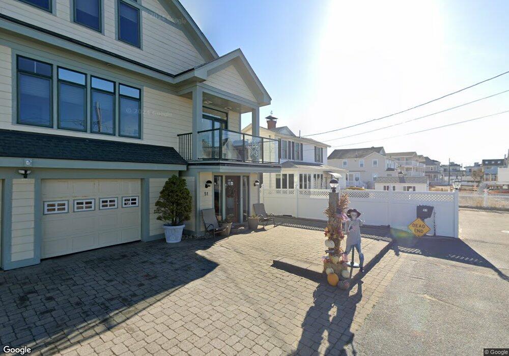
- 51 Commonwealth Ave
- 54 Commonwealth Ave
- 49 Commonwealth Ave
- 49 Commonwealth Ave Unit 49B
- 5 7th St E
- 536 N End Blvd
- 536 North End Blvd
- 52 Commonwealth Ave
- 538 North End Blvd
- 534 N End Blvd
- 534 North End Blvd
- 50 Commonwealth Ave
- 47 Commonwealth Ave
- 528 N End Blvd Unit 1 South
- 528 N End Blvd Unit 3
- 528 N End Blvd Unit 7A
- 528 N End Blvd Unit 2a
- 528 N End Blvd Unit 12A
- 48 Commonwealth Ave
- 528 North End Blvd Unit 2N
Your Personal Tour Guide
Ask me questions while you tour the home.