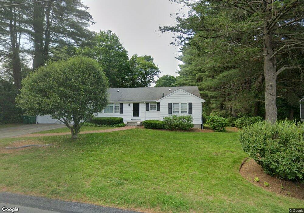
53 Conant Rd Westwood, MA 02090
Estimated Value: $666,000 - $835,000
3
Beds
2
Baths
1,108
Sq Ft
$680/Sq Ft
Est. Value
About This Home
This home is located at 53 Conant Rd, Westwood, MA 02090 and is currently estimated at $753,954, approximately $680 per square foot. 53 Conant Rd is a home located in Norfolk County with nearby schools including Westwood High School, St. Sebastian's School, and Xaverian Brothers High School.
Create a Home Valuation Report for This Property
The Home Valuation Report is an in-depth analysis detailing your home's value as well as a comparison with similar homes in the area
Home Values in the Area
Average Home Value in this Area
Tax History Compared to Growth
Tax History
| Year | Tax Paid | Tax Assessment Tax Assessment Total Assessment is a certain percentage of the fair market value that is determined by local assessors to be the total taxable value of land and additions on the property. | Land | Improvement |
|---|---|---|---|---|
| 2025 | $7,728 | $603,300 | $340,300 | $263,000 |
| 2024 | $7,728 | $603,300 | $340,300 | $263,000 |
| 2023 | $6,701 | $468,600 | $283,500 | $185,100 |
| 2022 | $6,602 | $445,200 | $250,650 | $194,550 |
| 2021 | $6,546 | $442,900 | $238,900 | $204,000 |
| 2020 | $6,371 | $439,100 | $238,900 | $200,200 |
| 2019 | $6,053 | $413,150 | $227,500 | $185,650 |
| 2018 | $5,856 | $388,100 | $227,500 | $160,600 |
| 2017 | $5,414 | $371,600 | $227,500 | $144,100 |
| 2016 | $5,275 | $359,850 | $227,500 | $132,350 |
| 2015 | $5,449 | $357,550 | $227,500 | $130,050 |
Source: Public Records
Map
Nearby Homes
- 18 Longmeadow Dr
- 20 Longmeadow Dr
- 314 Grove St
- 670-672 High St Unit 3
- 26 Longmeadow Dr
- 300 Summer St
- 298 Summer St
- 429 Summer St
- 401 Sandy Valley Rd
- 223 Robert Rd
- 250 Meadowbrook Rd
- 4 Shoestring Ln
- 262 Meadowbrook Rd
- 85 Schoolmaster Ln
- 15 Wilsondale St
- 60 Warwick Dr
- 49 Fisher St
- 1133 High
- 1133 High St
- 162 Mayfair Dr