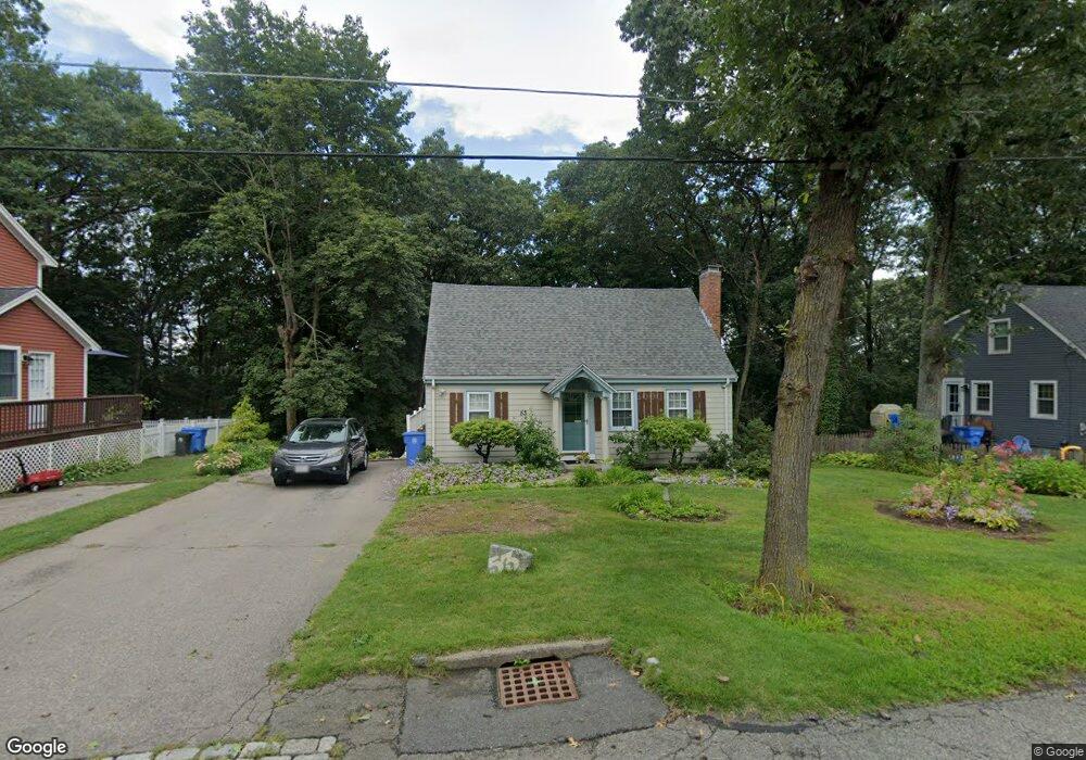
53 Cypress Rd Wrentham, MA 02093
Estimated Value: $524,000 - $600,000
2
Beds
3
Baths
1,344
Sq Ft
$418/Sq Ft
Est. Value
About This Home
This home is located at 53 Cypress Rd, Wrentham, MA 02093 and is currently estimated at $561,377, approximately $417 per square foot. 53 Cypress Rd is a home located in Norfolk County with nearby schools including Delaney Elementary School and Charles E Roderick.
Ownership History
Date
Name
Owned For
Owner Type
Purchase Details
Closed on
Nov 5, 2024
Sold by
Conry Linda L
Bought by
Linda L Conry Ret and Conry
Current Estimated Value
Purchase Details
Closed on
Nov 11, 1971
Bought by
Conry Michael J and Conry Linda L
Create a Home Valuation Report for This Property
The Home Valuation Report is an in-depth analysis detailing your home's value as well as a comparison with similar homes in the area
Purchase History
| Date | Buyer | Sale Price | Title Company |
|---|---|---|---|
| Linda L Conry Ret | -- | None Available | |
| Linda L Conry Ret | -- | None Available | |
| Conry Michael J | -- | -- |
Source: Public Records
Mortgage History
| Date | Status | Borrower | Loan Amount |
|---|---|---|---|
| Previous Owner | Conry Michael J | $25,000 | |
| Previous Owner | Conry Michael J | $15,000 | |
| Previous Owner | Conry Michael J | $40,000 |
Source: Public Records
Tax History
| Year | Tax Paid | Tax Assessment Tax Assessment Total Assessment is a certain percentage of the fair market value that is determined by local assessors to be the total taxable value of land and additions on the property. | Land | Improvement |
|---|---|---|---|---|
| 2025 | $5,225 | $450,800 | $233,700 | $217,100 |
| 2024 | $5,009 | $417,400 | $233,700 | $183,700 |
| 2023 | $4,765 | $377,600 | $212,500 | $165,100 |
| 2022 | $4,728 | $345,900 | $206,700 | $139,200 |
| 2021 | $4,581 | $325,600 | $193,200 | $132,400 |
| 2020 | $4,229 | $296,800 | $147,500 | $149,300 |
| 2019 | $3,875 | $274,400 | $132,700 | $141,700 |
| 2018 | $3,822 | $268,400 | $132,800 | $135,600 |
| 2017 | $3,585 | $251,600 | $130,200 | $121,400 |
| 2016 | $3,504 | $245,400 | $126,400 | $119,000 |
| 2015 | $3,612 | $241,100 | $135,100 | $106,000 |
| 2014 | $3,550 | $231,900 | $129,900 | $102,000 |
Source: Public Records
Map
Nearby Homes
- 246 Forest Grove Ave
- 0 W Birch Rd
- 8 Ridgefield Rd
- 11 Weber Farm Rd Unit 11
- 8 Weber Farm Rd Unit 8
- 1 Weber Farm Rd Unit 1
- 30 Weber Farm Rd Unit 30
- 576 Dedham St
- 45 Joshua Rd
- 11 Sharon Ave
- 9 Sharon Ave
- 50 Reed Fulton Ave Unit Lot 61
- 10 Nature View Dr
- 15 Nature View Dr
- 500 Franklin St
- 23 Fredrickson Rd
- 7 Hill St Unit 12
- 7 Hill St Unit 16
- 25 Foxboro Rd
- 135 Creek St Unit 2
- 49 Cypress Rd
- 59 Cypress Rd
- 48 Cypress Rd
- 39 Cypress Rd
- 58 Cypress Rd
- 63 Cypress Rd
- 63 Cypress Rd
- 54 Cypress Rd
- 325 Shears St
- 33 Cypress Rd
- 333 Shears St
- 71 Cypress Rd
- 27 Cypress Rd
- 160 Walnut Rd
- 335 Shears St
- 170 Walnut Rd
- 90 Cypress Rd
- 90 Cypress Rd Unit 1`
- 90 Cypress Rd Unit 2
- 90 Cypress Rd Unit 90
Your Personal Tour Guide
Ask me questions while you tour the home.