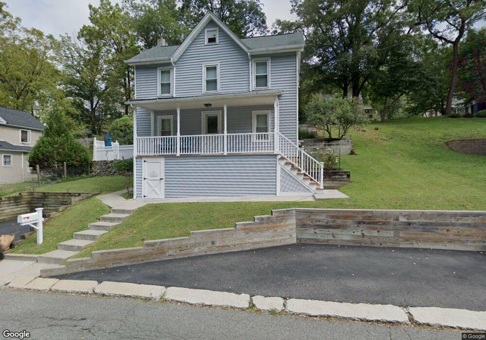
53 E Main St High Bridge, NJ 08829
Estimated Value: $347,000 - $406,000
2
Beds
1
Bath
1,122
Sq Ft
$328/Sq Ft
Est. Value
About This Home
This home is located at 53 E Main St, High Bridge, NJ 08829 and is currently estimated at $367,557, approximately $327 per square foot. 53 E Main St is a home located in Hunterdon County with nearby schools including High Bridge Elementary School, High Bridge Middle School, and Voorhees High School.
Ownership History
Date
Name
Owned For
Owner Type
Purchase Details
Closed on
Sep 30, 2019
Sold by
Zerilli Fredrick C
Bought by
Bell Angel
Current Estimated Value
Home Financials for this Owner
Home Financials are based on the most recent Mortgage that was taken out on this home.
Original Mortgage
$190,000
Outstanding Balance
$166,450
Interest Rate
3.5%
Mortgage Type
New Conventional
Estimated Equity
$201,107
Purchase Details
Closed on
Jan 18, 2019
Sold by
Zerilli Fredrick C
Bought by
Zerilli Fredrick C and Bell Angel
Purchase Details
Closed on
Jul 25, 2003
Sold by
Corby Larry J
Bought by
Zerilli Fredrick C
Purchase Details
Closed on
Jul 14, 1998
Sold by
Huff Phillip A
Bought by
Corby Larry J and Corby Lori M
Home Financials for this Owner
Home Financials are based on the most recent Mortgage that was taken out on this home.
Original Mortgage
$119,000
Interest Rate
6.98%
Create a Home Valuation Report for This Property
The Home Valuation Report is an in-depth analysis detailing your home's value as well as a comparison with similar homes in the area
Home Values in the Area
Average Home Value in this Area
Purchase History
| Date | Buyer | Sale Price | Title Company |
|---|---|---|---|
| Bell Angel | $200,000 | Majestic Title Agency | |
| Zerilli Fredrick C | -- | None Available | |
| Zerilli Fredrick C | $185,000 | -- | |
| Corby Larry J | $125,000 | -- |
Source: Public Records
Mortgage History
| Date | Status | Borrower | Loan Amount |
|---|---|---|---|
| Open | Bell Angel | $190,000 | |
| Previous Owner | Corby Larry J | $119,000 |
Source: Public Records
Tax History
| Year | Tax Paid | Tax Assessment Tax Assessment Total Assessment is a certain percentage of the fair market value that is determined by local assessors to be the total taxable value of land and additions on the property. | Land | Improvement |
|---|---|---|---|---|
| 2025 | $8,686 | $277,400 | $139,500 | $137,900 |
| 2024 | $8,932 | $266,100 | $112,800 | $153,300 |
| 2023 | $8,932 | $225,900 | $101,500 | $124,400 |
| 2022 | $8,795 | $206,700 | $81,500 | $125,200 |
| 2021 | $8,262 | $206,900 | $81,500 | $125,400 |
| 2020 | $8,200 | $200,000 | $82,300 | $117,700 |
| 2019 | $8,262 | $200,000 | $82,300 | $117,700 |
| 2018 | $7,894 | $199,200 | $81,500 | $117,700 |
| 2017 | $7,407 | $192,200 | $74,500 | $117,700 |
| 2016 | $7,321 | $192,200 | $74,500 | $117,700 |
| 2015 | $7,123 | $192,200 | $74,500 | $117,700 |
| 2014 | $6,447 | $188,000 | $105,000 | $83,000 |
Source: Public Records
Map
Nearby Homes
- 56 E Main St
- 21 E Main St
- 15 Patton St
- 3 Chestnut Ct
- 10 Timbercroft Rd
- 13 Chestnut Ct
- 5 Deer Run Dr
- 77 Main St
- 13 Fairview Ave
- 0 Beavers St
- 8 Appollo Place
- 69 Beavers St
- 521 Cokesbury Rd
- 9 Charles Ct
- 3 Fulper Place
- 102-104 Cokesbury Rd
- 36 Crestview Dr
- 22 Fairview Ave
- 13 Mission Hills Rd Unit 3
- 16 Perry Rd
Your Personal Tour Guide
Ask me questions while you tour the home.