53 Flat Rock Rd South Kent, CT 06785
Estimated Value: $1,194,000 - $1,640,000
5
Beds
3
Baths
2,866
Sq Ft
$500/Sq Ft
Est. Value
About This Home
This home is located at 53 Flat Rock Rd, South Kent, CT 06785 and is currently estimated at $1,432,832, approximately $499 per square foot. 53 Flat Rock Rd is a home located in Litchfield County with nearby schools including Kent Center School, Housatonic Valley Regional High School, and South Kent School.
Ownership History
Date
Name
Owned For
Owner Type
Purchase Details
Closed on
Aug 13, 2020
Sold by
Lawlor Niall A and Lawlor Marybeth E
Bought by
Agrios Eran
Current Estimated Value
Home Financials for this Owner
Home Financials are based on the most recent Mortgage that was taken out on this home.
Original Mortgage
$640,000
Outstanding Balance
$565,343
Interest Rate
3.25%
Mortgage Type
Purchase Money Mortgage
Estimated Equity
$867,489
Create a Home Valuation Report for This Property
The Home Valuation Report is an in-depth analysis detailing your home's value as well as a comparison with similar homes in the area
Home Values in the Area
Average Home Value in this Area
Purchase History
| Date | Buyer | Sale Price | Title Company |
|---|---|---|---|
| Agrios Eran | $800,000 | None Available |
Source: Public Records
Mortgage History
| Date | Status | Borrower | Loan Amount |
|---|---|---|---|
| Open | Agrios Eran | $640,000 |
Source: Public Records
Tax History
| Year | Tax Paid | Tax Assessment Tax Assessment Total Assessment is a certain percentage of the fair market value that is determined by local assessors to be the total taxable value of land and additions on the property. | Land | Improvement |
|---|---|---|---|---|
| 2025 | $14,505 | $859,800 | $407,700 | $452,100 |
| 2024 | $13,404 | $859,800 | $407,700 | $452,100 |
| 2023 | $12,485 | $665,500 | $417,600 | $247,900 |
| 2022 | $11,601 | $624,700 | $417,600 | $207,100 |
| 2021 | $11,409 | $614,400 | $417,600 | $196,800 |
| 2020 | $11,434 | $614,400 | $417,600 | $196,800 |
| 2019 | $11,434 | $614,400 | $417,600 | $196,800 |
| 2018 | $12,729 | $684,000 | $482,500 | $201,500 |
| 2017 | $12,729 | $684,000 | $482,500 | $201,500 |
| 2016 | $12,538 | $684,000 | $482,500 | $201,500 |
| 2015 | $12,216 | $684,000 | $482,500 | $201,500 |
| 2014 | $11,649 | $684,000 | $482,500 | $201,500 |
Source: Public Records
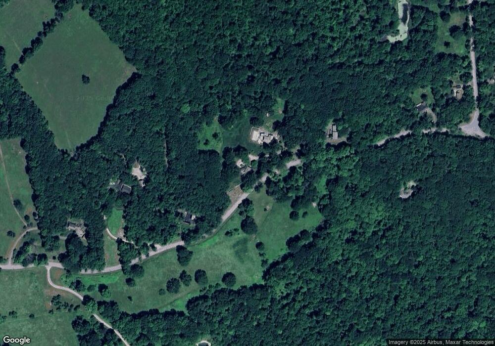
Map
Nearby Homes
- 103 Geer Mountain Rd
- 00 Camps Flat Rd
- 80 N Main St Unit 2A1
- 00 Upper Kent Hollow Rd
- 132 S Kent Rd
- 0 Spooner Hill Rd Unit 24077524
- 46 Spooner Hill Rd
- 0 Gorham Rd Unit 24138133
- 217 Sawyer Hill Rd
- 0 Mount Mauwee Rd
- 23 Mauwee Brook Rd
- 18 Arrow Point Rd
- 0 Mountain Lake Rd
- 0 Stonewall Unit 39
- 11 Old Paddock Ln
- 25 Mountain Lake Rd
- 101 S Kent Rd
- 100 S Kent Rd
- 132 Curtiss Rd
- 28 Squire Hill Rd
Your Personal Tour Guide
Ask me questions while you tour the home.