53 Foss Rd Madison, ME 04950
Estimated Value: $165,000 - $417,000
3
Beds
3
Baths
1,904
Sq Ft
$165/Sq Ft
Est. Value
About This Home
This home is located at 53 Foss Rd, Madison, ME 04950 and is currently estimated at $313,863, approximately $164 per square foot. 53 Foss Rd is a home located in Somerset County with nearby schools including Madison Area Memorial High School.
Ownership History
Date
Name
Owned For
Owner Type
Purchase Details
Closed on
Aug 16, 2024
Sold by
Tozier Frank W and Tozier Marilyn B
Bought by
Hale David A and Hale Ellen M
Current Estimated Value
Purchase Details
Closed on
Jun 16, 2005
Sold by
Green Tree Servicing Llc
Bought by
Householder Wayne and Householder Heather
Home Financials for this Owner
Home Financials are based on the most recent Mortgage that was taken out on this home.
Original Mortgage
$94,905
Interest Rate
5.78%
Mortgage Type
Stand Alone Second
Create a Home Valuation Report for This Property
The Home Valuation Report is an in-depth analysis detailing your home's value as well as a comparison with similar homes in the area
Home Values in the Area
Average Home Value in this Area
Purchase History
| Date | Buyer | Sale Price | Title Company |
|---|---|---|---|
| Hale David A | -- | None Available | |
| Hale David A | -- | None Available | |
| Householder Wayne | -- | -- | |
| Householder Wayne | -- | -- |
Source: Public Records
Mortgage History
| Date | Status | Borrower | Loan Amount |
|---|---|---|---|
| Previous Owner | Householder Wayne | $94,905 |
Source: Public Records
Tax History Compared to Growth
Tax History
| Year | Tax Paid | Tax Assessment Tax Assessment Total Assessment is a certain percentage of the fair market value that is determined by local assessors to be the total taxable value of land and additions on the property. | Land | Improvement |
|---|---|---|---|---|
| 2024 | $2,576 | $160,000 | $55,100 | $104,900 |
| 2023 | $2,313 | $138,500 | $47,300 | $91,200 |
| 2022 | $2,032 | $109,300 | $38,000 | $71,300 |
| 2021 | $2,027 | $104,400 | $36,400 | $68,000 |
| 2020 | $2,151 | $101,200 | $36,400 | $64,800 |
| 2019 | $2,151 | $101,200 | $36,400 | $64,800 |
| 2018 | $2,176 | $101,200 | $36,400 | $64,800 |
| 2017 | $2,174 | $101,100 | $36,400 | $64,700 |
| 2016 | $2,180 | $103,800 | $39,100 | $64,700 |
| 2015 | $2,024 | $103,800 | $39,100 | $64,700 |
| 2014 | $2,024 | $103,800 | $39,100 | $64,700 |
| 2013 | $1,820 | $103,800 | $39,100 | $64,700 |
Source: Public Records
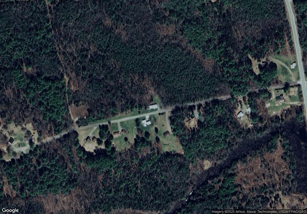
Map
Nearby Homes
- 1012 Lakewood Rd
- M4 L7-4 Lakewood Rd
- 16 Salmon Rd
- 21 Naomi Ave
- 1397 Lakewood Rd
- 58 Naomi Ave
- M40 L13-6 Mallard Rd
- M40 L13-7 Mallard Rd
- 16 Sierra Ln
- 980 E Madison Rd
- 14 Lower Mills Rd
- 15 Kincaid Rd
- 89 Drake Rd
- 33 Booberry Hill Rd
- 56 Stoutamyer Rd
- 615 White School House Rd
- 151 Lower Mills Rd
- 1631 Lakewood Rd
- 7 & 9 Crane Ln
- Lot 5-5 River Rd
- 60 Foss Rd
- 50 Foss Rd
- 40 Foss Rd
- 74 Foss Rd
- 80 Foss Rd
- 22 Foss Rd
- 8 Foss Rd
- M10 L47-1 Foss Rd
- 105 Foss Rd
- 1072 Lakewood Rd
- 1022 Lakewood Rd
- 1113 Lakewood Rd
- 1099 Lakewood Rd
- 1123 Lakewood Rd
- 1015 Lakewood Rd
- 1021 Lakewood Rd
- 1136 Lakewood Rd
- 1150 Lakewood Rd
- 944 Lakewood Rd Unit RD
- 0 Lakewood Rd Unit 783481