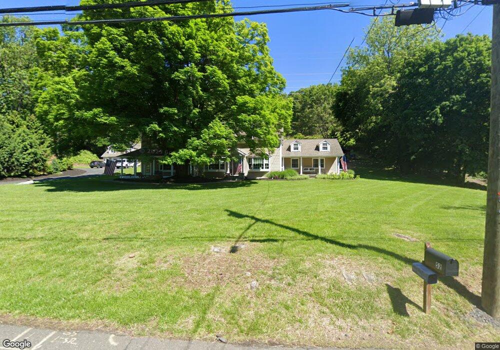
53 Franck Rd Stony Point, NY 10980
Estimated Value: $810,000 - $1,210,000
4
Beds
3
Baths
4,343
Sq Ft
$243/Sq Ft
Est. Value
About This Home
This home is located at 53 Franck Rd, Stony Point, NY 10980 and is currently estimated at $1,054,802, approximately $242 per square foot. 53 Franck Rd is a home located in Rockland County with nearby schools including James A. Farley Middle School, Stony Point Elementary School, and Fieldstone Secondary School.
Ownership History
Date
Name
Owned For
Owner Type
Purchase Details
Closed on
Apr 3, 2005
Sold by
Youvan Bradley J
Bought by
Babcock Kenneth Arthur
Current Estimated Value
Purchase Details
Closed on
Jun 20, 2000
Sold by
Youvan Bradley J and Youvan Jeannie M
Bought by
Youvan Bradley J
Home Financials for this Owner
Home Financials are based on the most recent Mortgage that was taken out on this home.
Original Mortgage
$75,000
Interest Rate
7.94%
Create a Home Valuation Report for This Property
The Home Valuation Report is an in-depth analysis detailing your home's value as well as a comparison with similar homes in the area
Home Values in the Area
Average Home Value in this Area
Purchase History
| Date | Buyer | Sale Price | Title Company |
|---|---|---|---|
| Babcock Kenneth Arthur | -- | -- | |
| Youvan Bradley J | -- | Chicago Title Insurance Co |
Source: Public Records
Mortgage History
| Date | Status | Borrower | Loan Amount |
|---|---|---|---|
| Previous Owner | Youvan Bradley J | $75,000 |
Source: Public Records
Tax History
| Year | Tax Paid | Tax Assessment Tax Assessment Total Assessment is a certain percentage of the fair market value that is determined by local assessors to be the total taxable value of land and additions on the property. | Land | Improvement |
|---|---|---|---|---|
| 2022 | $5,136 | $55,900 | $20,300 | $35,600 |
| 2021 | $5,136 | $55,900 | $20,300 | $35,600 |
| 2020 | $15,079 | $55,900 | $20,300 | $35,600 |
| 2019 | $15,793 | $55,900 | $20,300 | $35,600 |
| 2018 | $27,177 | $55,900 | $20,300 | $35,600 |
| 2017 | $14,933 | $55,900 | $20,300 | $35,600 |
| 2016 | $15,308 | $55,900 | $20,300 | $35,600 |
| 2015 | -- | $55,900 | $20,300 | $35,600 |
| 2014 | -- | $45,900 | $20,300 | $25,600 |
Source: Public Records
Map
Nearby Homes
- 32 Franck Rd
- 21 Benson Point Ct
- 125 Cedar Flats Rd
- 1 Mccarthy Cir
- 285 Bulsontown Rd
- 4 Mccarthy Cir
- 22 Skahen Dr
- 7 Gooler Ct
- 10 Soluri Ln
- 6 Gooler Ct
- 10 Sloane Ct
- 20 Ann Ave
- 8 Foxwood Dr
- 26 Johnson Dr
- 17 John F. Kennedy Dr
- 29 Adams Dr
- 4 Adams Dr
- 22 Adams Dr
- 15 Dickens St
- 14 Vargas (Aka 70 Jessup Ln) Cir
- 55 Franck Rd
- 51 Franck Rd
- 52 Franck Rd
- 140 Bulsontown Rd
- 46 Franck Rd Unit 48
- 49 Franck Rd
- 44 Franck Rd
- 142 Bulsontown Rd
- 119 Bulsontown Rd
- 3 Richard C Brown Dr
- 5 Richard C Brown Dr
- 150 Bulsontown Rd
- 145 Bulsontown Rd
- 7 Richard C Brown Dr
- 4 Richard C Brown Dr
- 2 Richard C Brown Dr
- 45 Franck Rd
- 155 Bulsontown Rd
- 9 Richard C Brown Dr
- 6 Richard C Brown Dr
Your Personal Tour Guide
Ask me questions while you tour the home.