53 Harmony Ln S Loudon, NH 03307
Estimated Value: $564,301 - $959,000
3
Beds
6
Baths
3,694
Sq Ft
$202/Sq Ft
Est. Value
About This Home
This home is located at 53 Harmony Ln S, Loudon, NH 03307 and is currently estimated at $746,075, approximately $201 per square foot. 53 Harmony Ln S is a home located in Merrimack County with nearby schools including Canterbury Elementary School, Belmont Middle School, and Belmont High School.
Ownership History
Date
Name
Owned For
Owner Type
Purchase Details
Closed on
Jun 5, 2015
Sold by
Roy Michael and Roy Robin L
Bought by
Mulrooney Lynn and Mulrooney Richard J
Current Estimated Value
Home Financials for this Owner
Home Financials are based on the most recent Mortgage that was taken out on this home.
Original Mortgage
$295,200
Outstanding Balance
$223,591
Interest Rate
3.62%
Mortgage Type
New Conventional
Estimated Equity
$522,484
Purchase Details
Closed on
Oct 16, 1996
Sold by
Coles Susan and Coles James A
Bought by
Negri Gary
Home Financials for this Owner
Home Financials are based on the most recent Mortgage that was taken out on this home.
Original Mortgage
$48,000
Interest Rate
8.26%
Mortgage Type
Purchase Money Mortgage
Create a Home Valuation Report for This Property
The Home Valuation Report is an in-depth analysis detailing your home's value as well as a comparison with similar homes in the area
Home Values in the Area
Average Home Value in this Area
Purchase History
| Date | Buyer | Sale Price | Title Company |
|---|---|---|---|
| Mulrooney Lynn | $369,000 | -- | |
| Negri Gary | $60,000 | -- |
Source: Public Records
Mortgage History
| Date | Status | Borrower | Loan Amount |
|---|---|---|---|
| Open | Negri Gary | $295,200 | |
| Previous Owner | Negri Gary | $48,000 |
Source: Public Records
Tax History
| Year | Tax Paid | Tax Assessment Tax Assessment Total Assessment is a certain percentage of the fair market value that is determined by local assessors to be the total taxable value of land and additions on the property. | Land | Improvement |
|---|---|---|---|---|
| 2025 | $9,313 | $454,500 | $126,500 | $328,000 |
| 2024 | $10,308 | $454,500 | $126,500 | $328,000 |
| 2023 | $9,545 | $454,500 | $126,500 | $328,000 |
| 2022 | $9,454 | $454,500 | $126,500 | $328,000 |
| 2021 | $9,322 | $454,500 | $126,500 | $328,000 |
| 2020 | $10,291 | $373,000 | $113,000 | $260,000 |
| 2019 | $10,396 | $373,000 | $113,000 | $260,000 |
| 2018 | $9,911 | $373,000 | $113,000 | $260,000 |
| 2017 | $9,691 | $373,000 | $113,000 | $260,000 |
| 2016 | $9,306 | $373,000 | $113,000 | $260,000 |
| 2015 | $7,979 | $300,400 | $95,500 | $204,900 |
| 2014 | $8,126 | $300,400 | $95,500 | $204,900 |
| 2013 | $7,852 | $300,400 | $95,500 | $204,900 |
Source: Public Records
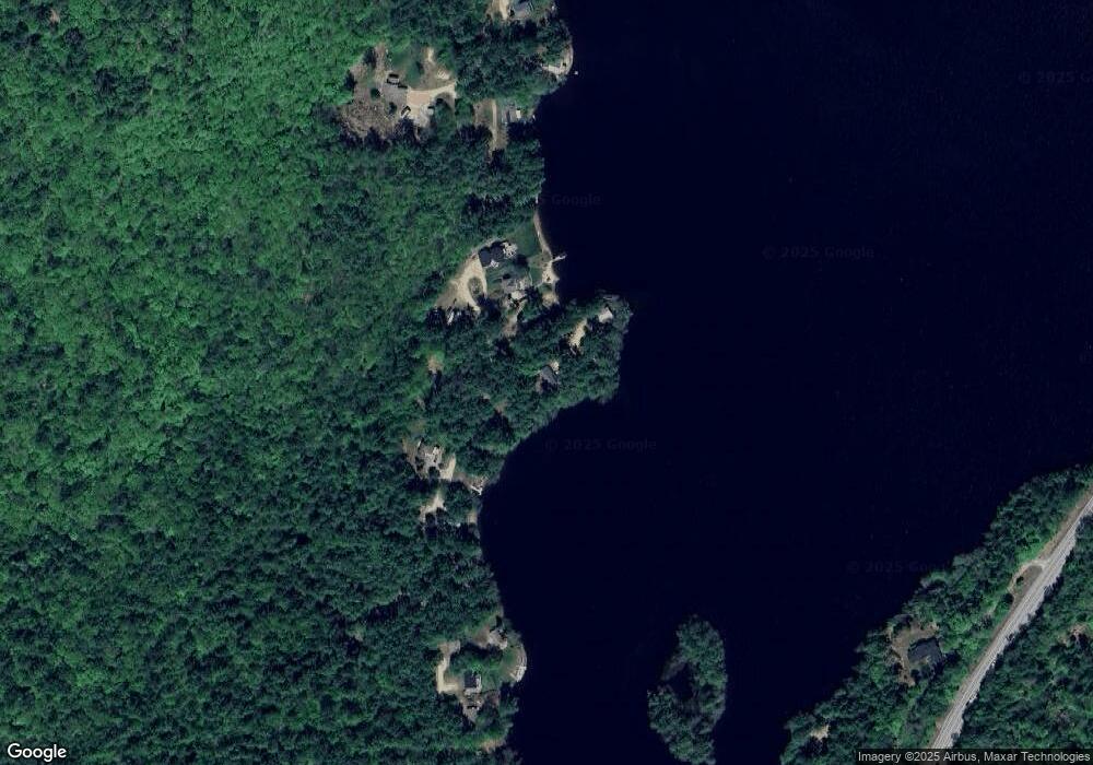
Map
Nearby Homes
- 54 Canterbury Shore Dr
- 16 Sherwood Forest Dr
- 104 Ridgewood Dr
- 18 Shady Ln
- 50 Madison Way
- 9 Warbonnet Ln
- 643 Loudon Ridge Rd
- 153 Lakeshore Dr
- 201 Lakeshore Dr
- 13 Penobscott Path
- 11 Cedar Dr
- 00 Cedar Dr Unit 60000
- 1005 New Hampshire 106
- 00 Winter St Unit 42
- 00 Intervale Dr Unit 51
- 306 Baptist Hill Rd
- 53 Concord St
- 626 Province Rd
- 585 Province Rd
- 173 Main St
- 45 Harmony Ln S
- 29 Harmony Ln S
- 59 Harmony Ln S
- 27 Harmony Ln S
- 35 Harmony Ln S
- 52 Harmony Ln S
- 33 Harmony Ln S
- 31 Harmony Ln
- 29 Harmony Ln
- 27 Harmony Ln
- 43 Harmony Ln
- 44 Harmony Ln S
- 45 Harmony Ln
- 48 Harmony Ln
- 49 Harmony Ln
- 51 Harmony Ln S
- 61 Ames Rd
- 53 Harmony Ln S
- 53 Harmony Ln
- 1601 Nh Route 106
Your Personal Tour Guide
Ask me questions while you tour the home.