53 Haven Rd Divide, CO 80814
Estimated Value: $739,000 - $1,101,000
3
Beds
3
Baths
1,421
Sq Ft
$615/Sq Ft
Est. Value
About This Home
This home is located at 53 Haven Rd, Divide, CO 80814 and is currently estimated at $874,482, approximately $615 per square foot. 53 Haven Rd is a home located in Teller County with nearby schools including Woodland Park Junior/Senior High School and Merit Academy.
Ownership History
Date
Name
Owned For
Owner Type
Purchase Details
Closed on
Nov 9, 2021
Sold by
Whiting Clinton M
Bought by
Whiting Clinton M and Whiting Megan M
Current Estimated Value
Purchase Details
Closed on
Jul 27, 2015
Sold by
Nichols Gregory A and Nichols Pamela S
Bought by
Whiting Clinton M
Home Financials for this Owner
Home Financials are based on the most recent Mortgage that was taken out on this home.
Original Mortgage
$415,625
Outstanding Balance
$327,441
Interest Rate
4.08%
Mortgage Type
New Conventional
Estimated Equity
$547,041
Purchase Details
Closed on
Apr 24, 2006
Sold by
Armstrong Glen A and Armstrong Elizabeth A
Bought by
Nichols Gregory A and Nichols Pamela S
Purchase Details
Closed on
May 21, 2004
Sold by
Woodrock Developers
Bought by
Armstrong Glen A and Armstrong Elizabeth A
Purchase Details
Closed on
Feb 12, 1996
Bought by
Whiting Clinton M
Create a Home Valuation Report for This Property
The Home Valuation Report is an in-depth analysis detailing your home's value as well as a comparison with similar homes in the area
Home Values in the Area
Average Home Value in this Area
Purchase History
| Date | Buyer | Sale Price | Title Company |
|---|---|---|---|
| Whiting Clinton M | -- | None Available | |
| Whiting Clinton M | $437,500 | Empire Title Woodland Park | |
| Nichols Gregory A | $46,500 | Security Title | |
| Armstrong Glen A | $45,000 | -- | |
| Whiting Clinton M | -- | -- |
Source: Public Records
Mortgage History
| Date | Status | Borrower | Loan Amount |
|---|---|---|---|
| Open | Whiting Clinton M | $415,625 |
Source: Public Records
Tax History
| Year | Tax Paid | Tax Assessment Tax Assessment Total Assessment is a certain percentage of the fair market value that is determined by local assessors to be the total taxable value of land and additions on the property. | Land | Improvement |
|---|---|---|---|---|
| 2024 | $3,108 | $48,100 | $4,038 | $44,062 |
| 2023 | $2,973 | $48,100 | $4,040 | $44,060 |
| 2022 | $2,340 | $42,060 | $2,480 | $39,580 |
| 2021 | $2,412 | $43,270 | $2,550 | $40,720 |
| 2020 | $2,116 | $38,780 | $2,890 | $35,890 |
| 2019 | $2,090 | $38,780 | $0 | $0 |
| 2018 | $1,525 | $27,420 | $0 | $0 |
| 2017 | $1,528 | $27,420 | $0 | $0 |
| 2016 | $1,879 | $33,600 | $0 | $0 |
| 2015 | $2,113 | $33,600 | $0 | $0 |
| 2014 | -- | $32,730 | $0 | $0 |
Source: Public Records
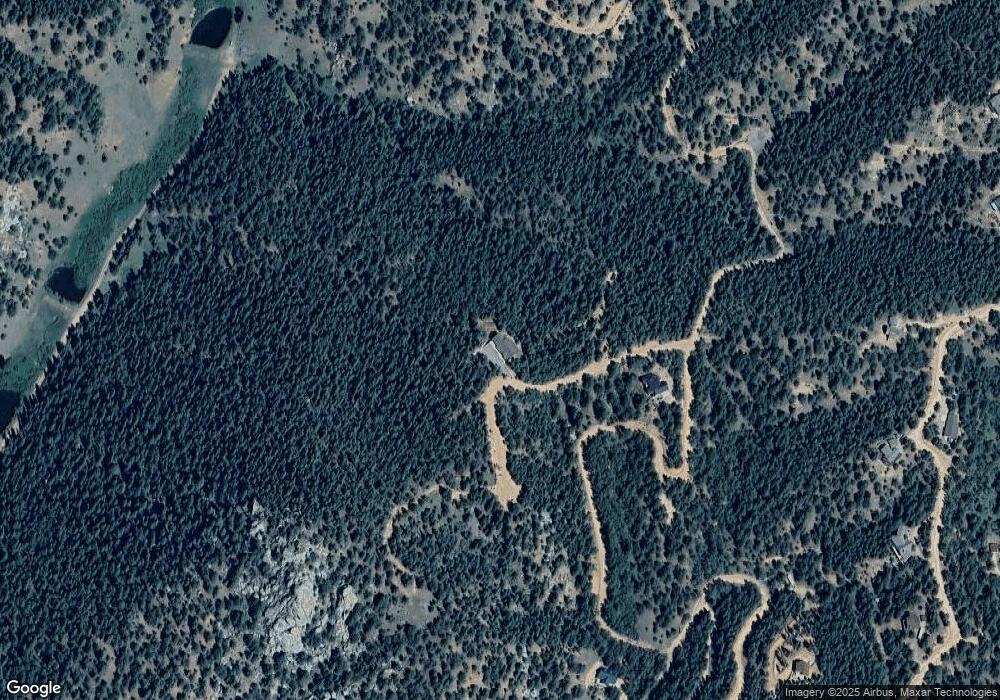
Map
Nearby Homes
- 329 Paradiso Rd
- 252 Running Elk Point
- 281 Pikes Peak Dr
- 1440 Pikes Peak Dr
- 741 Pikes Peak Dr
- 1480 Pikes Peak Dr
- 416 Willow Rd
- 490 Willow Rd
- 111 Blue Spruce Rd
- 26 Blue Spruce Rd
- 490 Spruce Cir
- 679 Calcite Dr
- 83 Sodalite Rd Unit 42
- 83 Sodalite Rd
- 68 Horseshoe Dr
- 1218 Calcite Dr
- 1218 Calcite Dr Unit 69
- 60 Fluorite Ln
- 1301 Calcite Dr
- 162 Kernite Ln
- 81 Haven Rd
- 187 Eagle Dr
- 54 Eagle Dr
- 266 Eagle Dr
- 741 Homestead Rd
- 55 Homestead Rd
- 85 Homestead Rd
- 661 Homestead Rd
- 630 Homestead Rd
- 121 Homestead Rd
- 70 Homestead Rd
- 56 Wahi Rd
- 265 Homestead Rd
- 521 Homestead Rd
- 65 Paradiso Rd
- 45 Wahi Rd
- 140 Homestead Rd
- 131 Paradiso Rd
- 388 Homestead Rd
- 367 Homestead Rd
Your Personal Tour Guide
Ask me questions while you tour the home.