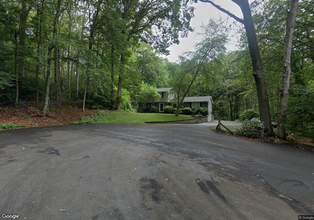
53 High Point Dr Northford, CT 06472
Estimated Value: $543,000 - $611,000
4
Beds
3
Baths
2,220
Sq Ft
$260/Sq Ft
Est. Value
About This Home
This home is located at 53 High Point Dr, Northford, CT 06472 and is currently estimated at $576,106, approximately $259 per square foot. 53 High Point Dr is a home located in New Haven County with nearby schools including Jerome Harrison School, Totoket Valley Elementary School, and North Branford Intermediate School.
Ownership History
Date
Name
Owned For
Owner Type
Purchase Details
Closed on
Aug 4, 1998
Sold by
Simkus Donald C and Simkus Diane E
Bought by
Crotta Christopher P and Crotta Christine R
Current Estimated Value
Home Financials for this Owner
Home Financials are based on the most recent Mortgage that was taken out on this home.
Original Mortgage
$202,000
Outstanding Balance
$42,141
Interest Rate
6.92%
Mortgage Type
Unknown
Estimated Equity
$533,965
Create a Home Valuation Report for This Property
The Home Valuation Report is an in-depth analysis detailing your home's value as well as a comparison with similar homes in the area
Home Values in the Area
Average Home Value in this Area
Purchase History
| Date | Buyer | Sale Price | Title Company |
|---|---|---|---|
| Crotta Christopher P | $203,000 | -- |
Source: Public Records
Mortgage History
| Date | Status | Borrower | Loan Amount |
|---|---|---|---|
| Open | Crotta Christopher P | $100,000 | |
| Open | Crotta Christopher P | $202,000 | |
| Previous Owner | Crotta Christopher P | $141,000 |
Source: Public Records
Tax History Compared to Growth
Tax History
| Year | Tax Paid | Tax Assessment Tax Assessment Total Assessment is a certain percentage of the fair market value that is determined by local assessors to be the total taxable value of land and additions on the property. | Land | Improvement |
|---|---|---|---|---|
| 2025 | $9,398 | $340,400 | $122,000 | $218,400 |
| 2024 | $8,630 | $240,200 | $101,800 | $138,400 |
| 2023 | $8,292 | $240,200 | $101,800 | $138,400 |
| 2022 | $7,982 | $240,200 | $101,800 | $138,400 |
| 2021 | $7,871 | $237,500 | $101,800 | $135,700 |
| 2020 | $7,713 | $229,700 | $95,100 | $134,600 |
| 2019 | $7,686 | $229,700 | $95,100 | $134,600 |
| 2018 | $7,670 | $229,700 | $95,100 | $134,600 |
| 2017 | $7,697 | $229,700 | $95,100 | $134,600 |
| 2016 | $7,346 | $229,700 | $95,100 | $134,600 |
| 2015 | $7,369 | $237,100 | $95,100 | $142,000 |
| 2014 | $7,094 | $237,100 | $95,100 | $142,000 |
Source: Public Records
Map
Nearby Homes
- 5 Stefania's Way Unit Lot 14
- 21 Idylwood Dr
- 929 Totoket Rd
- 201 Rimmon Rd
- 60 Spruce St
- 81 Warner Rd
- 20 Lombard Cir Unit 20
- 22 Lombard Cir Unit 22
- 4 Lombard Cir Unit 4
- 2 Lombard Cir Unit 2
- 255 Forest Rd
- 155 Mill Rd
- 34 Birchwood Rd
- 300 Mill Rd
- 32 Justine Dr
- 29 Justine Dr
- 20 Fawn Ridge Dr
- 33 Justine Dr
- 28 Fieldstone Ct Unit 28
- 45 Pond Hill Lot 3 Rd
- 141 Parsonage Hill Rd
- 135 Parsonage Hill Rd
- 47 High Point Dr
- 126 Parsonage Hill Rd
- 120 Parsonage Hill Rd
- 124 Parsonage Hill Rd
- 149 Parsonage Hill Rd
- 131 Parsonage Hill Rd
- 136 Village St
- 144 Village St
- 146 Village St
- 41 High Point Dr
- 150 Village St
- 168 Parsonage Hill Rd
- 157 Parsonage Hill Rd
- 125 Parsonage Hill Rd
- 172 Parsonage Hill Rd
- 156 Village St
- 35 High Point Dr
- 132 Village St