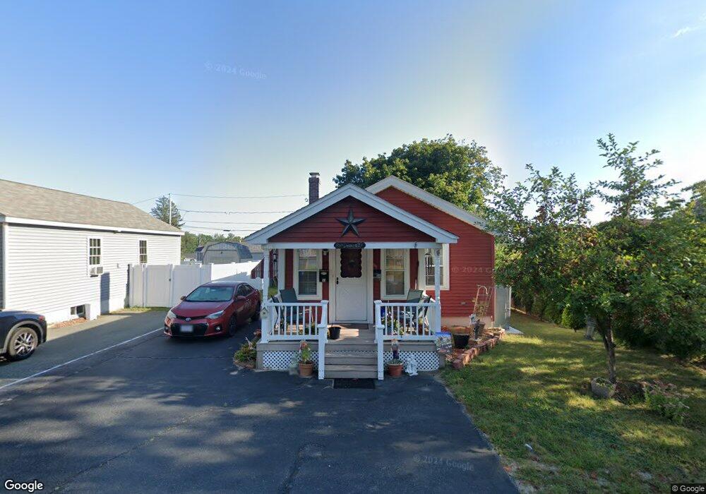
53 Hill St Hopedale, MA 01747
Estimated Value: $352,376 - $368,000
2
Beds
2
Baths
862
Sq Ft
$415/Sq Ft
Est. Value
About This Home
This home is located at 53 Hill St, Hopedale, MA 01747 and is currently estimated at $358,094, approximately $415 per square foot. 53 Hill St is a home located in Worcester County with nearby schools including Memorial Elementary School and Hopedale Jr Sr High School.
Ownership History
Date
Name
Owned For
Owner Type
Purchase Details
Closed on
Aug 31, 2012
Sold by
Dumont Anthonette
Bought by
Dumont John and Dumont Robert P
Current Estimated Value
Purchase Details
Closed on
Mar 2, 2011
Sold by
Dumont John V and Dumont Robert P
Bought by
Dumont Antoinette
Purchase Details
Closed on
Jul 10, 2009
Sold by
Dumont Antoinette
Bought by
Dumont John and Dumont Robert P
Purchase Details
Closed on
Jun 17, 1994
Sold by
Est Ballentino A and Miller Josephine
Bought by
Dumont Robert and Dumont Antoinette
Home Financials for this Owner
Home Financials are based on the most recent Mortgage that was taken out on this home.
Original Mortgage
$68,000
Interest Rate
8.5%
Mortgage Type
Purchase Money Mortgage
Create a Home Valuation Report for This Property
The Home Valuation Report is an in-depth analysis detailing your home's value as well as a comparison with similar homes in the area
Home Values in the Area
Average Home Value in this Area
Purchase History
| Date | Buyer | Sale Price | Title Company |
|---|---|---|---|
| Dumont John | -- | -- | |
| Dumont Antoinette | -- | -- | |
| Dumont John | -- | -- | |
| Dumont Robert | $85,000 | -- | |
| Dumont John V | -- | -- | |
| Dumont Antoinette | -- | -- | |
| Dumont John V | -- | -- | |
| Dumont Robert | $85,000 | -- |
Source: Public Records
Mortgage History
| Date | Status | Borrower | Loan Amount |
|---|---|---|---|
| Previous Owner | Dumont Robert | $90,000 | |
| Previous Owner | Dumont Robert | $68,000 |
Source: Public Records
Tax History Compared to Growth
Tax History
| Year | Tax Paid | Tax Assessment Tax Assessment Total Assessment is a certain percentage of the fair market value that is determined by local assessors to be the total taxable value of land and additions on the property. | Land | Improvement |
|---|---|---|---|---|
| 2025 | $4,863 | $292,800 | $113,000 | $179,800 |
| 2024 | $4,623 | $278,500 | $107,400 | $171,100 |
| 2023 | $4,157 | $257,400 | $105,600 | $151,800 |
| 2022 | $4,038 | $236,000 | $96,800 | $139,200 |
| 2021 | $0 | $214,500 | $88,000 | $126,500 |
| 2020 | $3,734 | $214,500 | $88,000 | $126,500 |
| 2019 | $3,616 | $205,800 | $95,300 | $110,500 |
| 2018 | $0 | $172,300 | $68,600 | $103,700 |
| 2017 | $2,689 | $155,500 | $55,400 | $100,100 |
| 2016 | $2,583 | $153,500 | $55,400 | $98,100 |
| 2015 | $2,490 | $150,200 | $55,400 | $94,800 |
Source: Public Records
Map
Nearby Homes
- 57 Hill St
- 103 Laurelwood Dr
- 108 Laurelwood Dr Unit 108
- 26 Brookview Ln Unit 26
- 112 Greene St
- 11-13 Malquin Dr
- 2 Crestview Dr
- 164 Greene St
- 8 Union St Unit 8
- 11 Heron Ln
- 100 Freedom St
- 3 Birch Cir
- 8 Neck Hill Rd
- 6 Steel Rd
- 106 Adin St
- 116 Adin St
- 17 Harmony Trail
- 22 Neck Hill Rd
- 1 Haven Way
- 19 Oak St