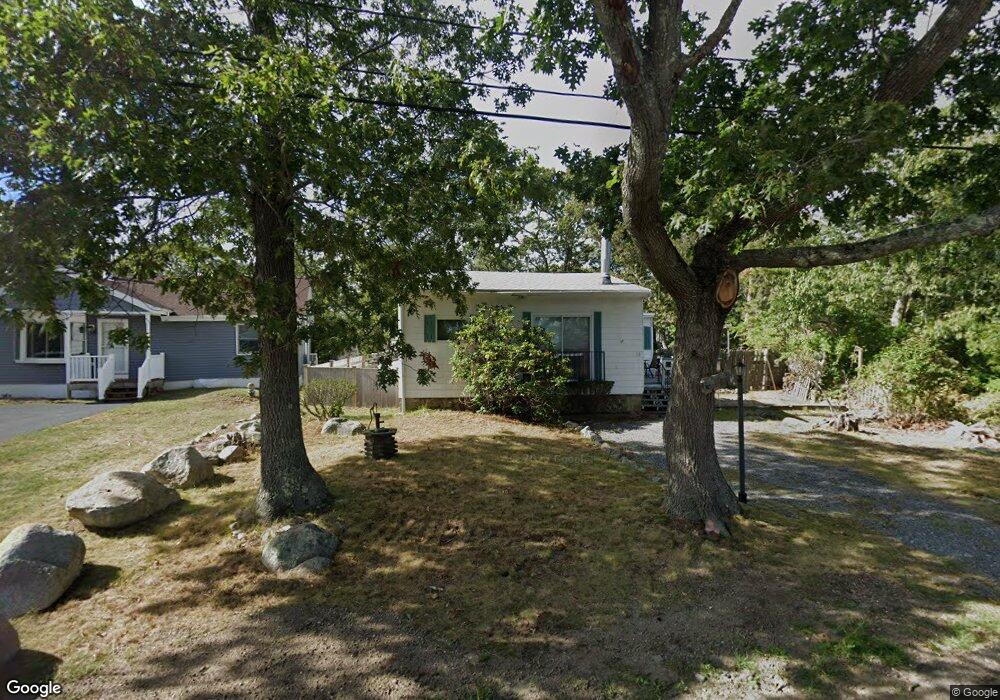
53 Hill Top Rd Gloucester, MA 01930
West Gloucester NeighborhoodEstimated Value: $598,972 - $753,000
3
Beds
2
Baths
1,074
Sq Ft
$618/Sq Ft
Est. Value
About This Home
This home is located at 53 Hill Top Rd, Gloucester, MA 01930 and is currently estimated at $663,493, approximately $617 per square foot. 53 Hill Top Rd is a home located in Essex County with nearby schools including West Parish, Ralph B O'maley Middle School, and Gloucester High School.
Ownership History
Date
Name
Owned For
Owner Type
Purchase Details
Closed on
Jul 12, 2023
Sold by
Lm Solano-Mcintosh Ret and Solano-Mcintosh
Bought by
Jplm Ret and Mcintosh
Current Estimated Value
Purchase Details
Closed on
Oct 16, 2020
Sold by
Solano-Mcintosh Lori M
Bought by
Lm Solano-Mcintosh Ret and Solano-Mcintosh
Purchase Details
Closed on
Aug 8, 2003
Sold by
Solano Edward F and Solano Rita T
Bought by
Solano Edward F
Create a Home Valuation Report for This Property
The Home Valuation Report is an in-depth analysis detailing your home's value as well as a comparison with similar homes in the area
Home Values in the Area
Average Home Value in this Area
Purchase History
| Date | Buyer | Sale Price | Title Company |
|---|---|---|---|
| Jplm Ret | -- | None Available | |
| Lm Solano-Mcintosh Ret | -- | None Available | |
| Solano Edward F | -- | -- |
Source: Public Records
Tax History
| Year | Tax Paid | Tax Assessment Tax Assessment Total Assessment is a certain percentage of the fair market value that is determined by local assessors to be the total taxable value of land and additions on the property. | Land | Improvement |
|---|---|---|---|---|
| 2025 | $4,138 | $425,700 | $159,800 | $265,900 |
| 2024 | $4,028 | $414,000 | $152,200 | $261,800 |
| 2023 | $4,045 | $382,000 | $135,900 | $246,100 |
| 2022 | $3,761 | $320,600 | $118,200 | $202,400 |
| 2021 | $3,778 | $303,700 | $107,400 | $196,300 |
| 2020 | $3,481 | $282,300 | $107,400 | $174,900 |
| 2019 | $3,410 | $268,700 | $107,400 | $161,300 |
| 2018 | $3,327 | $257,300 | $107,400 | $149,900 |
| 2017 | $3,358 | $254,600 | $102,300 | $152,300 |
| 2016 | $3,197 | $234,900 | $106,800 | $128,100 |
| 2015 | $3,152 | $230,900 | $106,800 | $124,100 |
Source: Public Records
Map
Nearby Homes
- 167 Atlantic St
- 178 Atlantic St
- 7 Leaman Dr
- 226 Atlantic St
- 13 Honeysuckle Rd
- 5 Samoset Rd Unit B
- 368 Essex Ave
- 2 Breezy Point Rd
- 18 Lyndale Ave
- 24 Cobblestone Ln Unit 603
- 5 Lepage Ln
- 3 Deacon Farm Ln
- 145 Essex Ave Unit 402
- 587 Essex Ave
- 31 Echo Ave
- 15 Lufkin Point Rd
- 3 Rockland St
- 672 Washington St
- 6 Monroe Ct
- 15 Harvard St
Your Personal Tour Guide
Ask me questions while you tour the home.