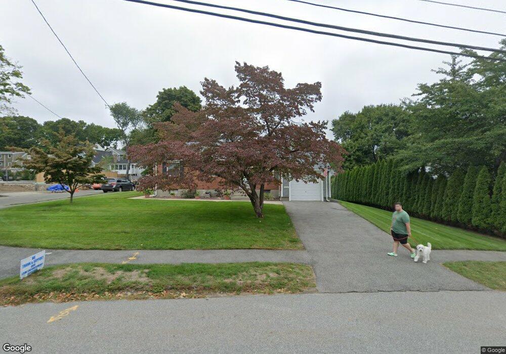
53 Hobbs Rd Waltham, MA 02452
North Waltham NeighborhoodEstimated Value: $846,000 - $1,046,780
3
Beds
2
Baths
3,246
Sq Ft
$298/Sq Ft
Est. Value
About This Home
This home is located at 53 Hobbs Rd, Waltham, MA 02452 and is currently estimated at $968,195, approximately $298 per square foot. 53 Hobbs Rd is a home located in Middlesex County with nearby schools including Northeast Elementary School, John F Kennedy Middle School, and Waltham Sr High School.
Ownership History
Date
Name
Owned For
Owner Type
Purchase Details
Closed on
Oct 21, 2020
Sold by
Demers Joseph A and Demers Jane C
Bought by
Demers Joseph A and Demers Jane C
Current Estimated Value
Purchase Details
Closed on
Mar 11, 1991
Sold by
Frostig Ruth H
Bought by
Demers Joseph A
Create a Home Valuation Report for This Property
The Home Valuation Report is an in-depth analysis detailing your home's value as well as a comparison with similar homes in the area
Home Values in the Area
Average Home Value in this Area
Purchase History
| Date | Buyer | Sale Price | Title Company |
|---|---|---|---|
| Demers Joseph A | -- | None Available | |
| Demers Joseph A | $166,901 | -- |
Source: Public Records
Mortgage History
| Date | Status | Borrower | Loan Amount |
|---|---|---|---|
| Previous Owner | Demers Joseph A | $108,000 | |
| Previous Owner | Demers Joseph A | $112,000 | |
| Previous Owner | Demers Joseph A | $151,000 |
Source: Public Records
Tax History Compared to Growth
Tax History
| Year | Tax Paid | Tax Assessment Tax Assessment Total Assessment is a certain percentage of the fair market value that is determined by local assessors to be the total taxable value of land and additions on the property. | Land | Improvement |
|---|---|---|---|---|
| 2025 | $7,363 | $749,800 | $464,200 | $285,600 |
| 2024 | $6,998 | $725,900 | $443,600 | $282,300 |
| 2023 | $6,679 | $647,200 | $402,500 | $244,700 |
| 2022 | $6,646 | $596,600 | $361,500 | $235,100 |
| 2021 | $6,020 | $531,800 | $361,500 | $170,300 |
| 2020 | $5,899 | $493,600 | $336,800 | $156,800 |
| 2019 | $5,972 | $471,700 | $332,700 | $139,000 |
| 2018 | $5,436 | $431,100 | $308,100 | $123,000 |
| 2017 | $5,053 | $402,300 | $279,300 | $123,000 |
| 2016 | $4,723 | $385,900 | $262,900 | $123,000 |
| 2015 | $4,536 | $345,500 | $230,000 | $115,500 |
Source: Public Records
Map
Nearby Homes
- 55 Circle Dr
- 23 Wight St
- 116 Raffaele Dr
- 750 Trapelo Rd
- 65 Woburn St
- 70 Rosewood Dr
- 170 Clocktower Dr Unit 5103
- 107 Clocktower Dr Unit 3302
- 87 Clocktower Dr Unit 2207
- 38 Van Vechten St
- 30 Jacqueline Rd Unit C
- 45 Chase Rd
- 28 College Farm Rd Unit 2
- 1105 Lexington St Unit 102
- 14 Piedmont Ave
- 100 Shirley Rd
- 30 Wampum Ave
- 129 Lake St
- 311 Concord Ave
- 44 Sachem St