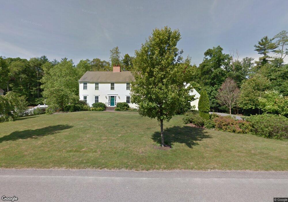
53 Independence Ave Hanson, MA 02341
Estimated Value: $784,000 - $977,000
3
Beds
3
Baths
2,598
Sq Ft
$334/Sq Ft
Est. Value
About This Home
This home is located at 53 Independence Ave, Hanson, MA 02341 and is currently estimated at $866,596, approximately $333 per square foot. 53 Independence Ave is a home located in Plymouth County.
Ownership History
Date
Name
Owned For
Owner Type
Purchase Details
Closed on
Apr 20, 2019
Sold by
53 Independence Avenue Rt and Robitaille
Bought by
Robitaille Thomas C
Current Estimated Value
Purchase Details
Closed on
Mar 13, 2013
Sold by
Robitaille Thomas C and Robitaille Jamie A
Bought by
53 Independence Avenue and 53 Robitaille
Purchase Details
Closed on
May 6, 1998
Sold by
Sv Rt and Simard
Bought by
Robitaille Thomas C and Robitaille Jamie A
Home Financials for this Owner
Home Financials are based on the most recent Mortgage that was taken out on this home.
Original Mortgage
$294,700
Interest Rate
7.05%
Mortgage Type
Purchase Money Mortgage
Create a Home Valuation Report for This Property
The Home Valuation Report is an in-depth analysis detailing your home's value as well as a comparison with similar homes in the area
Home Values in the Area
Average Home Value in this Area
Purchase History
| Date | Buyer | Sale Price | Title Company |
|---|---|---|---|
| Robitaille Thomas C | -- | -- | |
| 53 Independence Avenue | -- | -- | |
| 53 Independence Avenue | -- | -- | |
| Robitaille Thomas C | $100,000 | -- |
Source: Public Records
Mortgage History
| Date | Status | Borrower | Loan Amount |
|---|---|---|---|
| Previous Owner | Robitaille Thomas C | $291,300 | |
| Previous Owner | Robitaille Thomas C | $321,845 | |
| Previous Owner | Robitaille Thomas C | $294,700 |
Source: Public Records
Tax History
| Year | Tax Paid | Tax Assessment Tax Assessment Total Assessment is a certain percentage of the fair market value that is determined by local assessors to be the total taxable value of land and additions on the property. | Land | Improvement |
|---|---|---|---|---|
| 2025 | $9,512 | $710,900 | $192,800 | $518,100 |
| 2024 | $9,326 | $697,000 | $187,200 | $509,800 |
| 2023 | $8,949 | $631,100 | $187,200 | $443,900 |
| 2022 | $8,742 | $579,300 | $170,200 | $409,100 |
| 2021 | $7,908 | $523,700 | $163,600 | $360,100 |
| 2020 | $7,798 | $510,700 | $158,100 | $352,600 |
| 2019 | $7,913 | $509,500 | $169,800 | $339,700 |
| 2018 | $7,822 | $494,100 | $163,200 | $330,900 |
| 2017 | $7,586 | $474,700 | $155,500 | $319,200 |
| 2016 | $7,689 | $464,600 | $155,500 | $309,100 |
Source: Public Records
Map
Nearby Homes
- 361A County Rd
- 361 County Rd
- Lot 6 Way
- Lot 2 Harvard Rd
- 161 Winter St Unit 11
- 84 Liberty St
- 61 Sawmill Ln
- 61 Sawmill Ln Unit 61
- Lot 5 Princeton Way
- 80 Phillips St
- 72 Phillips St
- 1054 Main St
- 127 Crescent Place
- 134 Crescent St
- 724 Whitman St
- 26 Franklin St
- 126-130 Franklin St
- 139 Fairwood Dr
- 23 Live Oak Way
- 1754 Central St
- 31 Independence Ave
- 63 Independence Ave
- 40 Independence Ave
- 62 Independence Ave
- 5 Valley Forge Rd
- 22 Constitution Way
- 111 Independence Ave
- 4 Valley Forge Rd
- 6 Valley Forge Rd
- 104 Independence Ave
- 10 Valley Forge Rd
- 48 Constitution Way
- 715 High St
- 671 High St
- 51 Constitution Way
- 0 Independence Ave
- 0 Independence
- 120 Independence Ave
- 695 High St
- Lt1A,2A,3A Lakeside Rd
Your Personal Tour Guide
Ask me questions while you tour the home.