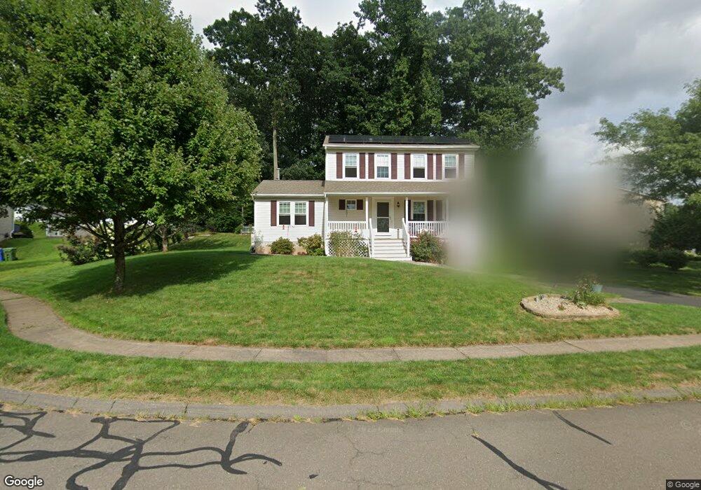
53 Lancaster Ct Middletown, CT 06457
Westfield NeighborhoodEstimated Value: $484,000 - $510,000
About This Home
This home is located at 53 Lancaster Ct, Middletown, CT 06457 and is currently estimated at $496,340, approximately $276 per square foot. 53 Lancaster Ct is a home located in Middlesex County with nearby schools including Moody School and Middletown High School.
Ownership History
We collect this data history from publicly available records. To have your information removed, we recommend requesting removal directly through your county’s website.
Purchase Details
Purchase Details
Home Financials for this Owner
Home Financials are based on the most recent Mortgage that was taken out on this home.Home Values in the Area
Average Home Value in this Area
Purchase History
We collect this data history from publicly available records. To have your information removed, we recommend requesting removal directly through your county’s website.
| Date | Buyer | Sale Price | Title Company |
|---|---|---|---|
| -- | None Available | ||
| $270,000 | -- |
Mortgage History
We collect this data history from publicly available records. To have your information removed, we recommend requesting removal directly through your county’s website.
| Date | Status | Borrower | Loan Amount |
|---|---|---|---|
| Previous Owner | $110,000 | ||
| Previous Owner | $115,000 | ||
| Previous Owner | $143,000 | ||
| Previous Owner | $149,907 |
Tax History
We collect this data history from publicly available records. To have your information removed, we recommend requesting removal directly through your county’s website.
| Year | Tax Paid | Tax Assessment Tax Assessment Total Assessment is a certain percentage of the fair market value that is determined by local assessors to be the total taxable value of land and additions on the property. | Land | Improvement |
|---|---|---|---|---|
| 2025 | $8,234 | $244,420 | $73,140 | $171,280 |
| 2024 | $7,807 | $244,420 | $73,140 | $171,280 |
| 2023 | $7,208 | $239,900 | $73,140 | $166,760 |
| 2022 | $6,519 | $173,770 | $48,760 | $125,010 |
| 2021 | $6,504 | $173,770 | $48,760 | $125,010 |
| 2020 | $6,513 | $173,770 | $48,760 | $125,010 |
| 2019 | $6,548 | $173,770 | $48,760 | $125,010 |
| 2018 | $6,316 | $173,770 | $48,760 | $125,010 |
| 2017 | $6,090 | $171,790 | $52,160 | $119,630 |
| 2016 | $5,972 | $171,790 | $52,160 | $119,630 |
| 2015 | $5,844 | $171,790 | $52,160 | $119,630 |
| 2014 | $5,845 | $171,790 | $52,160 | $119,630 |
Map
- 265 Briarwood Ln
- 66 Sachem Dr
- 162 Old Middle St
- 152 Middle St
- 23 Brentwood Ct
- 0 Country Club Rd and Massa Tom Rd Rd E
- 72 Annello Way
- 135 Saddle Hill Dr
- 123 Smith St
- 43 Flynn Ln
- 0 Bell St Unit 24149149
- 268 Bell St
- 248 Carriage Crossing Ln Unit 248
- 221 Carriage Crossing Ln Unit 221
- 57 Carriage Crossing Ln Unit 57
- 13 Carriage Crossing Ln Unit 13
- 29 Carriage Crossing Ln Unit 29
- 180 Carriage Crossing Ln Unit 180
- 87 Wanda Ln
- 24 Meadowood Dr
- 35 Lancaster Ct
- 63 Lancaster Ct
- 421 Briarwood Ln
- 431 Briarwood Ln
- 19 Lancaster Ct
- 74 Lancaster Ct
- 48 Lancaster Ct
- 71 Lancaster Ct
- 413 Briarwood Ln
- 80 Lancaster Ct
- 439 Briarwood Ln
- 36 Lancaster Ct
- 449 Briarwood Ln
- 28 Lancaster Ct
- 404 Briarwood Ln
- 414 Briarwood Ln
- 22 Lancaster Ct
- 6 Lancaster Ct
- 14 Lancaster Ct
- 424 Briarwood Ln
Ask me questions while you tour the home.