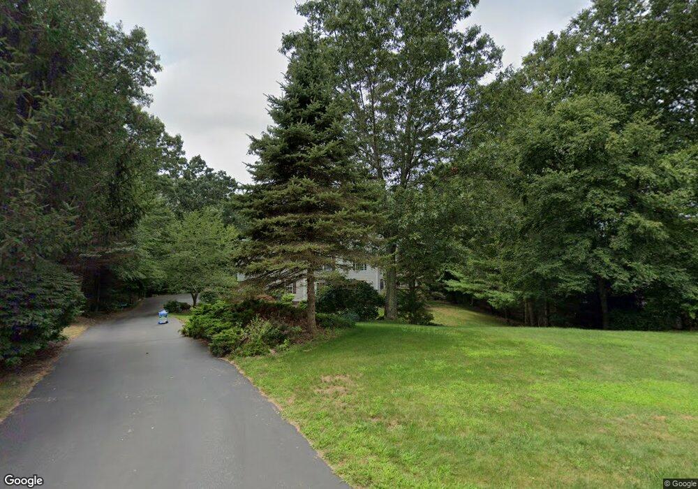
53 Laurel Ridge Trail Killingworth, CT 06419
Estimated Value: $766,072 - $807,000
5
Beds
3
Baths
3,144
Sq Ft
$249/Sq Ft
Est. Value
About This Home
This home is located at 53 Laurel Ridge Trail, Killingworth, CT 06419 and is currently estimated at $784,268, approximately $249 per square foot. 53 Laurel Ridge Trail is a home located in Middlesex County with nearby schools including Haddam-Killingworth High School.
Ownership History
Date
Name
Owned For
Owner Type
Purchase Details
Closed on
Jul 1, 2025
Sold by
Nixon Terence W and Nixon Juliet E
Bought by
Mcnamara Gregory J and Mcnamara Maria E
Current Estimated Value
Home Financials for this Owner
Home Financials are based on the most recent Mortgage that was taken out on this home.
Original Mortgage
$385,000
Outstanding Balance
$383,691
Interest Rate
6.86%
Mortgage Type
Future Advance Clause Open End Mortgage
Estimated Equity
$400,577
Purchase Details
Closed on
Dec 10, 1999
Sold by
J & K Dev
Bought by
Nixon Terence W and Nixon Juliet E
Create a Home Valuation Report for This Property
The Home Valuation Report is an in-depth analysis detailing your home's value as well as a comparison with similar homes in the area
Home Values in the Area
Average Home Value in this Area
Purchase History
| Date | Buyer | Sale Price | Title Company |
|---|---|---|---|
| Mcnamara Gregory J | $785,000 | -- | |
| Mcnamara Gregory J | $785,000 | -- | |
| Nixon Terence W | $314,000 | -- | |
| J & K Dev | $70,000 | -- | |
| J & K Dev | $70,000 | -- |
Source: Public Records
Mortgage History
| Date | Status | Borrower | Loan Amount |
|---|---|---|---|
| Open | Mcnamara Gregory J | $385,000 | |
| Closed | Mcnamara Gregory J | $385,000 | |
| Previous Owner | J & K Dev | $180,000 | |
| Previous Owner | J & K Dev | $195,000 | |
| Previous Owner | J & K Dev | $231,000 |
Source: Public Records
Tax History Compared to Growth
Tax History
| Year | Tax Paid | Tax Assessment Tax Assessment Total Assessment is a certain percentage of the fair market value that is determined by local assessors to be the total taxable value of land and additions on the property. | Land | Improvement |
|---|---|---|---|---|
| 2025 | $8,933 | $340,690 | $96,880 | $243,810 |
| 2024 | $8,252 | $340,690 | $96,880 | $243,810 |
| 2023 | $7,996 | $340,690 | $96,880 | $243,810 |
| 2022 | $7,911 | $340,690 | $96,880 | $243,810 |
| 2021 | $8,057 | $301,520 | $107,400 | $194,120 |
| 2020 | $8,057 | $301,520 | $107,400 | $194,120 |
| 2019 | $8,283 | $301,520 | $107,400 | $194,120 |
| 2018 | $8,283 | $301,520 | $107,400 | $194,120 |
| 2017 | $8,283 | $301,520 | $107,400 | $194,120 |
| 2016 | $8,599 | $332,130 | $163,020 | $169,110 |
| 2015 | $8,380 | $332,130 | $163,020 | $169,110 |
| 2014 | $8,147 | $332,130 | $163,020 | $169,110 |
Source: Public Records
Map
Nearby Homes
- 25 Roast Meat Hill Rd
- 248 Cow Hill Rd
- 11 Silver Birch Ln
- 246 Cow Hill Rd
- 43 Evergreen Park
- 4 Laurel Ln
- 25 Kelseytown Bridge Rd
- 179 Route 81
- 15 Egypt Ln
- 0 Kelseytown Bridge Rd
- 37 Titus Coan Rd
- 131 Cow Hill Rd
- 5 Kings Grant Rd
- 4 Columbia Rd
- 3 Jamaica Rd
- 48A Ironworks Rd
- 19 Ironworks Rd
- 4 Van Dyke Ln
- 14 Blaine Ave
- 262 Connecticut 81
- 47 Laurel Ridge Trail
- 85 Laurel Ridge Trail
- 87 Laurel Ridge Trail
- 83 Laurel Ridge Trail
- 96 Laurel Ridge Trail
- 50 Laurel Ridge Trail
- 60 Laurel Ridge Trail
- 41 Laurel Ridge Trail
- 63 Laurel Ridge Trail
- 56 Laurel Ridge Trail
- 7 Lafata Ln
- 23 Laurel Ridge Trail
- 69 Laurel Ridge Trail
- 44 Laurel Ridge Trail
- 3 Linnea Ln
- 4 Lafata Ln
- 25 Laurel Ridge Trail
- 12 Lafata Ln
- 40 Laurel Ridge Trail
- 7 Linnea Ln