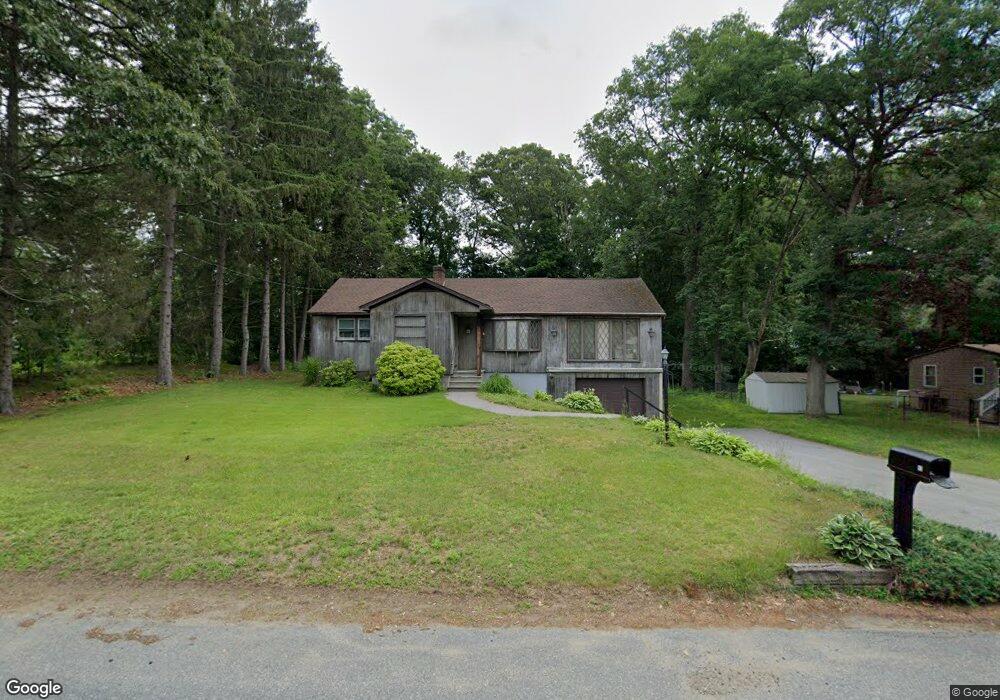
53 Macarthur Dr Millbury, MA 01527
Estimated Value: $449,979 - $816,000
2
Beds
1
Bath
1,280
Sq Ft
$434/Sq Ft
Est. Value
About This Home
This home is located at 53 Macarthur Dr, Millbury, MA 01527 and is currently estimated at $555,245, approximately $433 per square foot. 53 Macarthur Dr is a home located in Worcester County with nearby schools including Elmwood Street Elementary School, Raymond E. Shaw Elementary School, and Millbury Junior/Senior High School.
Ownership History
Date
Name
Owned For
Owner Type
Purchase Details
Closed on
Oct 29, 1999
Sold by
Colman Construction Co
Bought by
Palma Robert M and Palma Dawn M
Current Estimated Value
Home Financials for this Owner
Home Financials are based on the most recent Mortgage that was taken out on this home.
Original Mortgage
$205,000
Outstanding Balance
$62,728
Interest Rate
7.78%
Mortgage Type
Purchase Money Mortgage
Estimated Equity
$492,517
Create a Home Valuation Report for This Property
The Home Valuation Report is an in-depth analysis detailing your home's value as well as a comparison with similar homes in the area
Home Values in the Area
Average Home Value in this Area
Purchase History
| Date | Buyer | Sale Price | Title Company |
|---|---|---|---|
| Palma Robert M | $268,985 | -- | |
| Palma Robert M | $268,985 | -- |
Source: Public Records
Mortgage History
| Date | Status | Borrower | Loan Amount |
|---|---|---|---|
| Open | Palma Robert M | $205,000 | |
| Closed | Palma Robert M | $205,000 | |
| Previous Owner | Palma Robert M | $50,000 | |
| Previous Owner | Palma Robert M | $20,000 |
Source: Public Records
Tax History Compared to Growth
Tax History
| Year | Tax Paid | Tax Assessment Tax Assessment Total Assessment is a certain percentage of the fair market value that is determined by local assessors to be the total taxable value of land and additions on the property. | Land | Improvement |
|---|---|---|---|---|
| 2025 | $5,242 | $391,500 | $110,600 | $280,900 |
| 2024 | $4,812 | $363,700 | $102,500 | $261,200 |
| 2023 | $4,386 | $303,500 | $71,900 | $231,600 |
| 2022 | $4,242 | $282,800 | $71,900 | $210,900 |
| 2021 | $4,151 | $269,000 | $71,900 | $197,100 |
| 2020 | $4,044 | $263,800 | $71,900 | $191,900 |
| 2019 | $3,885 | $245,100 | $65,300 | $179,800 |
| 2018 | $3,637 | $222,600 | $65,300 | $157,300 |
| 2017 | $3,488 | $212,300 | $65,300 | $147,000 |
| 2016 | $3,302 | $200,600 | $65,300 | $135,300 |
| 2015 | $3,313 | $201,300 | $69,400 | $131,900 |
| 2014 | $3,128 | $182,900 | $69,400 | $113,500 |
Source: Public Records
Map
Nearby Homes
- 90 Macarthur Dr
- 3 May St
- 86 Wheelock Ave
- 2 Diane St
- 11 Westview Ave
- 12 Irene Ct
- 1 Pineland Ave
- 12 Alstead Path
- 1 Broadmeadow Ave
- 46 John Dr Unit 46
- 5 Edward Dr
- 123 Riverlin St
- 64 Millbury Ave
- 28 Lincoln Ln
- 330 Millbury Ave
- 21 Lordvale Blvd Unit 406
- 5 Lincoln Ln Unit 5
- 15 Rayburn Dr
- 76 Samuel Dr
- 11 Maplewood Rd
- 49 Macarthur Dr
- 55 Macarthur Dr
- 6 Montgomery Dr
- 61 Macarthur Dr
- 47 Macarthur Dr
- 4 Montgomery Dr
- 54 Macarthur Dr
- 52 Macarthur Dr
- 8 Montgomery Dr
- 2 Montgomery Dr
- 56A Macarthur Dr
- 50 Macarthur Dr
- 56B Macarthur Dr
- 137 Macarthur Dr
- 48 Macarthur Dr
- 67 Macarthur Dr
- 46 Macarthur Dr
- 44 Macarthur Dr
- 135 Macarthur Dr
- 1 Montgomery Dr