Estimated Value: $313,000 - $414,000
Studio
--
Bath
1,040
Sq Ft
$342/Sq Ft
Est. Value
About This Home
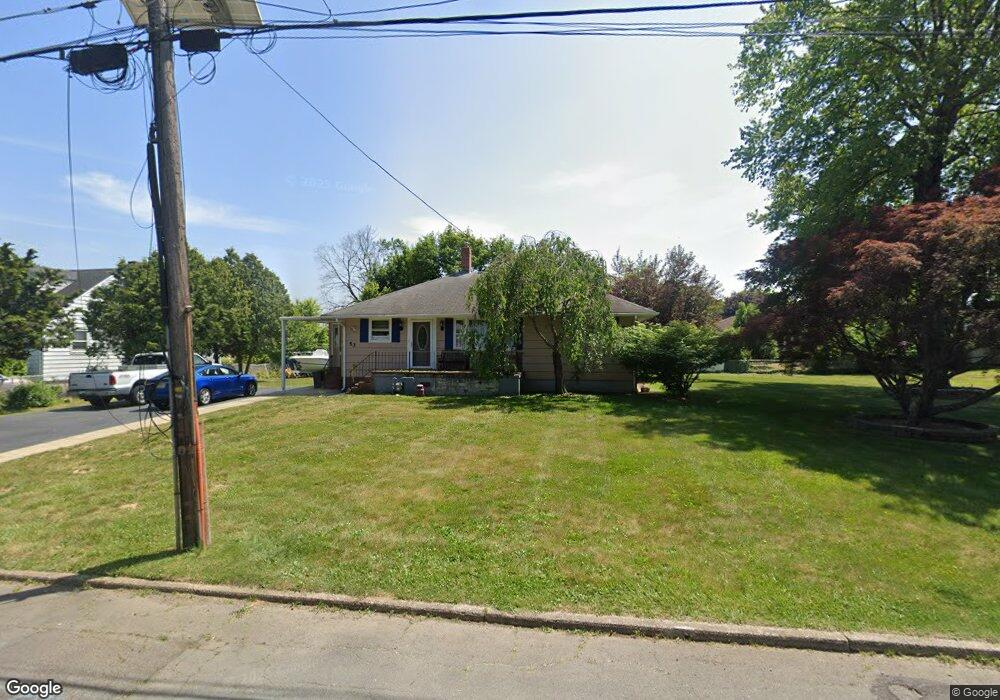
This home is located at 53 Main Blvd, Ewing, NJ 08618 and is currently estimated at $356,145, approximately $342 per square foot. 53 Main Blvd is a home located in Mercer County with nearby schools including Ewing High School, The Village Charter School, and Trenton Stem-To-Civics Charter School.
Ownership History
Date
Name
Owned For
Owner Type
Purchase Details
Closed on
May 18, 2006
Current Estimated Value
Home Financials for this Owner
Home Financials are based on the most recent Mortgage that was taken out on this home.
Original Mortgage
$229,200
Outstanding Balance
$133,727
Interest Rate
6.53%
Estimated Equity
$222,418
Purchase Details
Closed on
May 16, 2006
Sold by
Wihroski Thomas
Bought by
Siwy Louis and Siwy Joan
Home Financials for this Owner
Home Financials are based on the most recent Mortgage that was taken out on this home.
Original Mortgage
$229,200
Outstanding Balance
$133,727
Interest Rate
6.53%
Estimated Equity
$222,418
Create a Home Valuation Report for This Property
The Home Valuation Report is an in-depth analysis detailing your home's value as well as a comparison with similar homes in the area
Home Values in the Area
Average Home Value in this Area
Purchase History
| Date | Buyer | Sale Price | Title Company |
|---|---|---|---|
| -- | $285,000 | -- | |
| Siwy Louis | $286,600 | -- |
Source: Public Records
Mortgage History
| Date | Status | Borrower | Loan Amount |
|---|---|---|---|
| Open | Siwy Louis | $229,200 |
Source: Public Records
Tax History
| Year | Tax Paid | Tax Assessment Tax Assessment Total Assessment is a certain percentage of the fair market value that is determined by local assessors to be the total taxable value of land and additions on the property. | Land | Improvement |
|---|---|---|---|---|
| 2025 | $6,423 | $163,300 | $55,400 | $107,900 |
| 2024 | $6,037 | $163,300 | $55,400 | $107,900 |
| 2023 | $6,037 | $163,300 | $55,400 | $107,900 |
| 2022 | $5,874 | $163,300 | $55,400 | $107,900 |
| 2021 | $5,730 | $163,300 | $55,400 | $107,900 |
| 2020 | $4,983 | $151,300 | $55,400 | $95,900 |
| 2019 | $5,097 | $151,300 | $55,400 | $95,900 |
| 2018 | $5,974 | $113,100 | $38,400 | $74,700 |
| 2017 | $6,113 | $113,100 | $38,400 | $74,700 |
| 2016 | $6,030 | $113,100 | $38,400 | $74,700 |
| 2015 | $5,700 | $113,100 | $38,400 | $74,700 |
| 2014 | $5,684 | $113,100 | $38,400 | $74,700 |
Source: Public Records
Map
Nearby Homes
- 41 Harding St
- 53 Carlton Ave
- 1247 Lower Ferry Rd
- 1060 Terrace Blvd
- 20 Steinway Ave
- 1183 Lower Ferry Rd
- 126 Rutledge Ave
- 37 van Duyn Dr
- 56 Ridgewood Ave
- 27 Walton Ave
- 33 Stratford Ave
- 51 van Duyn Dr
- 161 Louisiana Ave
- 104 King Ave
- 13 Hickory Hill Dr
- 955 Terrace Blvd
- 22 Farrell Ave
- 1205 Parkway Ave
- 140 Crescent Ave
- 89 Upper Ferry Rd
Your Personal Tour Guide
Ask me questions while you tour the home.