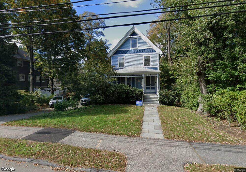
53 Maple St Auburndale, MA 02466
Auburndale NeighborhoodEstimated Value: $1,701,000 - $1,778,323
6
Beds
4
Baths
2,195
Sq Ft
$789/Sq Ft
Est. Value
About This Home
This home is located at 53 Maple St, Auburndale, MA 02466 and is currently estimated at $1,732,331, approximately $789 per square foot. 53 Maple St is a home located in Middlesex County with nearby schools including Williams Elementary School, Charles E Brown Middle School, and Newton South High School.
Ownership History
Date
Name
Owned For
Owner Type
Purchase Details
Closed on
Jul 1, 2014
Sold by
Greenwald Rebecca and Mandelbrot Didier A
Bought by
Mconnell Karen M and Reichert James E
Current Estimated Value
Home Financials for this Owner
Home Financials are based on the most recent Mortgage that was taken out on this home.
Original Mortgage
$955,200
Outstanding Balance
$728,395
Interest Rate
4.19%
Mortgage Type
Purchase Money Mortgage
Estimated Equity
$1,003,936
Purchase Details
Closed on
Jul 14, 2004
Sold by
Mandelbrot Didier A and Greenwald Rebecca
Bought by
Mandelbrot Didier A and Greenwald Rebecca
Purchase Details
Closed on
Aug 22, 2003
Sold by
Helfet Linda G and Hilliker Linda Helfet
Bought by
Mandelbrot Didier A and Greenwald Rebbecca
Home Financials for this Owner
Home Financials are based on the most recent Mortgage that was taken out on this home.
Original Mortgage
$400,000
Interest Rate
5.52%
Mortgage Type
Purchase Money Mortgage
Create a Home Valuation Report for This Property
The Home Valuation Report is an in-depth analysis detailing your home's value as well as a comparison with similar homes in the area
Home Values in the Area
Average Home Value in this Area
Purchase History
| Date | Buyer | Sale Price | Title Company |
|---|---|---|---|
| Mconnell Karen M | $1,194,000 | -- | |
| Mandelbrot Didier A | -- | -- | |
| Mandelbrot Didier A | $825,000 | -- |
Source: Public Records
Mortgage History
| Date | Status | Borrower | Loan Amount |
|---|---|---|---|
| Open | Mconnell Karen M | $955,200 | |
| Previous Owner | Mandelbrot Didier A | $400,000 |
Source: Public Records
Tax History
| Year | Tax Paid | Tax Assessment Tax Assessment Total Assessment is a certain percentage of the fair market value that is determined by local assessors to be the total taxable value of land and additions on the property. | Land | Improvement |
|---|---|---|---|---|
| 2025 | $15,167 | $1,547,700 | $979,000 | $568,700 |
| 2024 | $14,665 | $1,502,600 | $950,500 | $552,100 |
| 2023 | $14,065 | $1,381,600 | $731,200 | $650,400 |
| 2022 | $13,458 | $1,279,300 | $677,000 | $602,300 |
| 2021 | $12,986 | $1,206,900 | $638,700 | $568,200 |
| 2020 | $12,600 | $1,206,900 | $638,700 | $568,200 |
| 2019 | $12,244 | $1,171,700 | $620,100 | $551,600 |
| 2018 | $11,732 | $1,084,300 | $562,900 | $521,400 |
| 2017 | $11,375 | $1,022,900 | $531,000 | $491,900 |
| 2016 | $10,879 | $956,000 | $496,300 | $459,700 |
| 2015 | $9,499 | $818,200 | $463,800 | $354,400 |
Source: Public Records
Map
Nearby Homes
- 226 Auburn St Unit 226
- 194 Auburn St
- 17 Lasell St
- 1919 Commonwealth Ave Unit 1919
- 1917 Commonwealth Ave Unit 1917
- 283 Melrose St
- 7 Sharon Ave Unit 7
- 232 Melrose St Unit 2
- 1754 Washington St
- 10 Higgins St
- 2202 Commonwealth Ave Unit 1
- 12 Oakwood Rd
- 305 Webster St Unit 2
- 0 Duncan Rd Unit 72925240
- 160 Pine St Unit 15
- 160 Pine St Unit 12
- 27 Tennyson Rd
- 49 Staniford St
- 40 Sewall St
- 26 Sewall St
Your Personal Tour Guide
Ask me questions while you tour the home.