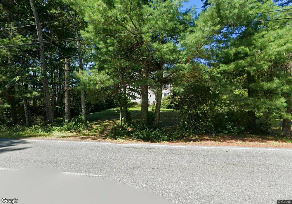
53 Maple St Norton, MA 02766
Estimated Value: $770,168 - $888,000
4
Beds
3
Baths
2,376
Sq Ft
$343/Sq Ft
Est. Value
About This Home
This home is located at 53 Maple St, Norton, MA 02766 and is currently estimated at $813,792, approximately $342 per square foot. 53 Maple St is a home located in Bristol County with nearby schools including J.C. Solmonese Elementary School, Henri A. Yelle Elementary School, and Norton Middle School.
Ownership History
Date
Name
Owned For
Owner Type
Purchase Details
Closed on
Feb 26, 2010
Sold by
Fnma
Bought by
Ledford Brian and Ledford Sherry
Current Estimated Value
Home Financials for this Owner
Home Financials are based on the most recent Mortgage that was taken out on this home.
Original Mortgage
$220,000
Outstanding Balance
$146,755
Interest Rate
5.11%
Mortgage Type
Purchase Money Mortgage
Estimated Equity
$667,037
Purchase Details
Closed on
Dec 22, 2006
Sold by
Plante Gary A and Plante Tracy L
Bought by
Plante Gary A and Plante Tracy L
Purchase Details
Closed on
Oct 18, 2006
Sold by
Plante Gary A and Plante Tracy L
Bought by
53 Maple Street Nt and Plante Gary A
Purchase Details
Closed on
Oct 15, 2002
Sold by
Martini Robert D
Bought by
Plante Gary A and Plante Tracy L
Home Financials for this Owner
Home Financials are based on the most recent Mortgage that was taken out on this home.
Original Mortgage
$281,600
Interest Rate
6.24%
Mortgage Type
Purchase Money Mortgage
Purchase Details
Closed on
Feb 19, 2002
Sold by
Bottomley Fred C and Riley Allen G
Bought by
Martini Robert D
Home Financials for this Owner
Home Financials are based on the most recent Mortgage that was taken out on this home.
Original Mortgage
$224,372
Interest Rate
7.14%
Mortgage Type
Purchase Money Mortgage
Purchase Details
Closed on
Mar 8, 2001
Sold by
Wbas Dev Corp Inc
Bought by
Bottomley Fred C and Riley Allen G
Create a Home Valuation Report for This Property
The Home Valuation Report is an in-depth analysis detailing your home's value as well as a comparison with similar homes in the area
Home Values in the Area
Average Home Value in this Area
Purchase History
| Date | Buyer | Sale Price | Title Company |
|---|---|---|---|
| Ledford Brian | $369,900 | -- | |
| Plante Gary A | -- | -- | |
| 53 Maple Street Nt | -- | -- | |
| Plante Gary A | $352,050 | -- | |
| Martini Robert D | $91,372 | -- | |
| Bottomley Fred C | $7,000 | -- | |
| Bottomley Fred C | $75,000 | -- |
Source: Public Records
Mortgage History
| Date | Status | Borrower | Loan Amount |
|---|---|---|---|
| Open | Ledford Brian | $220,000 | |
| Previous Owner | Bottomley Fred C | $281,600 | |
| Previous Owner | Bottomley Fred C | $224,372 |
Source: Public Records
Tax History
| Year | Tax Paid | Tax Assessment Tax Assessment Total Assessment is a certain percentage of the fair market value that is determined by local assessors to be the total taxable value of land and additions on the property. | Land | Improvement |
|---|---|---|---|---|
| 2025 | $84 | $647,300 | $214,600 | $432,700 |
| 2024 | $7,985 | $616,600 | $204,400 | $412,200 |
| 2023 | $7,623 | $586,800 | $192,700 | $394,100 |
| 2022 | $7,417 | $520,100 | $175,100 | $345,000 |
| 2021 | $7,074 | $473,800 | $166,700 | $307,100 |
| 2020 | $6,864 | $463,800 | $161,800 | $302,000 |
| 2019 | $6,666 | $447,400 | $155,800 | $291,600 |
| 2018 | $6,656 | $436,400 | $155,800 | $280,600 |
| 2017 | $6,234 | $405,600 | $155,800 | $249,800 |
| 2016 | $6,027 | $386,100 | $155,800 | $230,300 |
| 2015 | $5,828 | $378,700 | $151,300 | $227,400 |
| 2014 | $5,587 | $363,500 | $144,100 | $219,400 |
Source: Public Records
Map
Nearby Homes
- 108 S Worcester St
- 55 Sturdy St
- 8 Kasmira Way
- 170 S Worcester St Unit 3
- 127 John Scott Blvd
- 125 John Scott Blvd
- 2 Edgewater Dr Unit 2
- 827 Pike Ave
- 366 & 0 Pike Ave
- 0 Pike Ave
- 180 Pike Ave
- 0 Paisley Way Unit 73482376
- 0 Paisley Way Unit 73482325
- 23 Stockade Cir
- 11 Cherry Tree Ln
- 26 Barrows Ct
- 49 Teaberry Ln
- 0 Cherry Tree Ln
- 123 Pike Ave
- 40 Duffy Dr
Your Personal Tour Guide
Ask me questions while you tour the home.