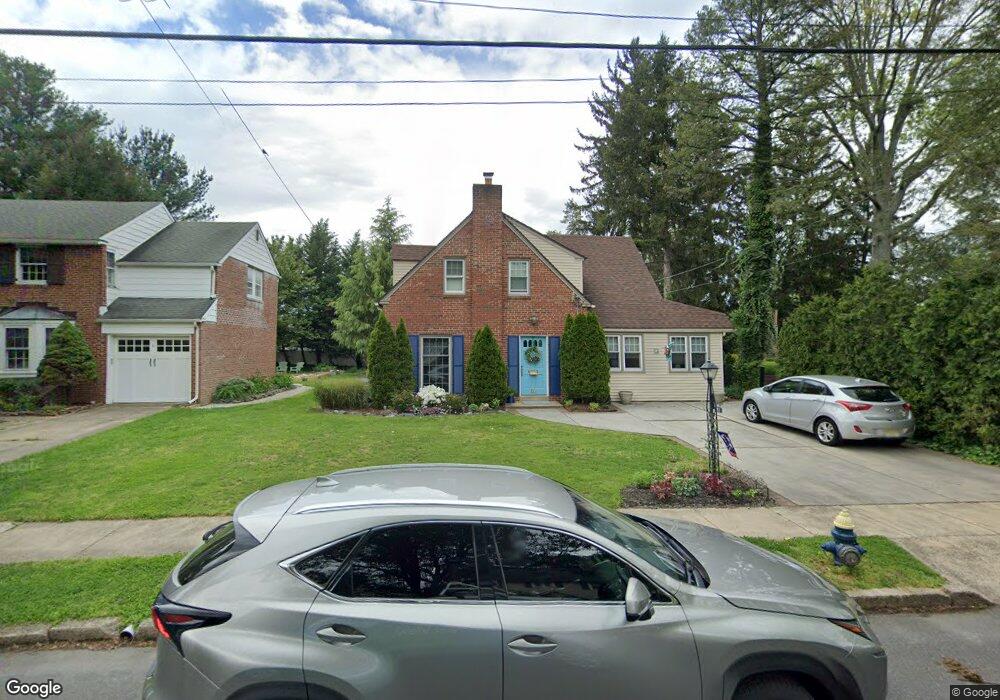
53 N Childs St Woodbury, NJ 08096
Estimated Value: $297,000 - $351,000
--
Bed
--
Bath
1,478
Sq Ft
$221/Sq Ft
Est. Value
About This Home
This home is located at 53 N Childs St, Woodbury, NJ 08096 and is currently estimated at $326,147, approximately $220 per square foot. 53 N Childs St is a home located in Gloucester County with nearby schools including Woodbury Junior/Senior High School and Holy Angels Catholic School.
Ownership History
Date
Name
Owned For
Owner Type
Purchase Details
Closed on
Mar 11, 2021
Sold by
Pappas Ethel Mary
Bought by
Belko John M and Belko Connie E
Current Estimated Value
Home Financials for this Owner
Home Financials are based on the most recent Mortgage that was taken out on this home.
Original Mortgage
$100,000
Outstanding Balance
$89,944
Interest Rate
2.9%
Mortgage Type
Purchase Money Mortgage
Estimated Equity
$236,203
Purchase Details
Closed on
Jun 16, 2000
Sold by
Degeorge Carl A and Degeorge Alice Ann
Bought by
Pappas Ethel Mary
Home Financials for this Owner
Home Financials are based on the most recent Mortgage that was taken out on this home.
Original Mortgage
$122,400
Interest Rate
8.55%
Mortgage Type
Purchase Money Mortgage
Create a Home Valuation Report for This Property
The Home Valuation Report is an in-depth analysis detailing your home's value as well as a comparison with similar homes in the area
Home Values in the Area
Average Home Value in this Area
Purchase History
| Date | Buyer | Sale Price | Title Company |
|---|---|---|---|
| Belko John M | $182,500 | None Available | |
| Belko John M | $182,500 | None Listed On Document | |
| Pappas Ethel Mary | $153,000 | -- |
Source: Public Records
Mortgage History
| Date | Status | Borrower | Loan Amount |
|---|---|---|---|
| Open | Belko John M | $100,000 | |
| Closed | Belko John M | $100,000 | |
| Previous Owner | Pappas Ethel Mary | $122,400 |
Source: Public Records
Tax History Compared to Growth
Tax History
| Year | Tax Paid | Tax Assessment Tax Assessment Total Assessment is a certain percentage of the fair market value that is determined by local assessors to be the total taxable value of land and additions on the property. | Land | Improvement |
|---|---|---|---|---|
| 2025 | $7,895 | $164,100 | $47,600 | $116,500 |
| 2024 | $7,614 | $164,100 | $47,600 | $116,500 |
| 2023 | $7,614 | $164,100 | $47,600 | $116,500 |
| 2022 | $7,480 | $164,100 | $47,600 | $116,500 |
| 2021 | $7,381 | $164,100 | $47,600 | $116,500 |
| 2020 | $6,889 | $139,500 | $37,400 | $102,100 |
| 2019 | $6,657 | $139,500 | $37,400 | $102,100 |
| 2018 | $6,509 | $139,500 | $37,400 | $102,100 |
| 2017 | $6,399 | $139,500 | $37,400 | $102,100 |
| 2016 | $6,310 | $139,500 | $37,400 | $102,100 |
| 2015 | $6,206 | $139,500 | $37,400 | $102,100 |
| 2014 | $6,109 | $139,500 | $37,400 | $102,100 |
Source: Public Records
Map
Nearby Homes
- 112 N Drexel St
- 21 S Columbia St
- 83 Lynn Dr
- 125 S Davis St
- 340 High St
- 195 Delaware St
- 46 Lynn Dr
- 34 S Jackson St
- 2 Victorian Way
- 3 Victorian Way
- 7 Victorian Way
- 154 W Barber Ave
- 558 Prince St
- 302 W Red Bank Ave
- 266 Passaic Ave
- 438 S Columbia St
- 30 N Broad St
- 654 Frances Ave
- 246 S Broad St
- 29 Aberdeen Place