53 Nathan Ln Carlisle, MA 01741
Estimated Value: $1,356,000 - $1,492,000
3
Beds
3
Baths
3,706
Sq Ft
$390/Sq Ft
Est. Value
About This Home
This home is located at 53 Nathan Ln, Carlisle, MA 01741 and is currently estimated at $1,444,120, approximately $389 per square foot. 53 Nathan Ln is a home located in Middlesex County with nearby schools including Carlisle School and Middlesex School.
Ownership History
Date
Name
Owned For
Owner Type
Purchase Details
Closed on
Mar 2, 2017
Sold by
Reisch Michael L and Reisch Ileana S
Bought by
Reisch Ft
Current Estimated Value
Purchase Details
Closed on
Apr 14, 2005
Sold by
Reisch Ileana S and Reisch Michael L
Bought by
Reisch Ileana S and Reisch Michael L
Purchase Details
Closed on
Jan 9, 1981
Bought by
Reisch Michael L and Reisch Ileana S
Create a Home Valuation Report for This Property
The Home Valuation Report is an in-depth analysis detailing your home's value as well as a comparison with similar homes in the area
Home Values in the Area
Average Home Value in this Area
Purchase History
| Date | Buyer | Sale Price | Title Company |
|---|---|---|---|
| Reisch Ft | -- | -- | |
| Reisch Ileana S | -- | -- | |
| Reisch Michael L | -- | -- |
Source: Public Records
Mortgage History
| Date | Status | Borrower | Loan Amount |
|---|---|---|---|
| Previous Owner | Reisch Michael L | $80,000 |
Source: Public Records
Tax History Compared to Growth
Tax History
| Year | Tax Paid | Tax Assessment Tax Assessment Total Assessment is a certain percentage of the fair market value that is determined by local assessors to be the total taxable value of land and additions on the property. | Land | Improvement |
|---|---|---|---|---|
| 2025 | $16,666 | $1,264,500 | $588,600 | $675,900 |
| 2024 | $15,947 | $1,196,300 | $523,200 | $673,100 |
| 2023 | $14,596 | $1,031,500 | $501,200 | $530,300 |
| 2022 | $15,956 | $967,000 | $435,800 | $531,200 |
| 2021 | $15,743 | $967,000 | $435,800 | $531,200 |
| 2020 | $16,485 | $897,900 | $370,500 | $527,400 |
| 2019 | $16,148 | $882,900 | $370,500 | $512,400 |
| 2018 | $15,408 | $848,000 | $370,500 | $477,500 |
| 2017 | $14,910 | $846,200 | $370,500 | $475,700 |
| 2016 | $14,555 | $846,200 | $370,500 | $475,700 |
| 2015 | $13,260 | $697,900 | $353,000 | $344,900 |
| 2014 | $13,009 | $697,900 | $353,000 | $344,900 |
Source: Public Records
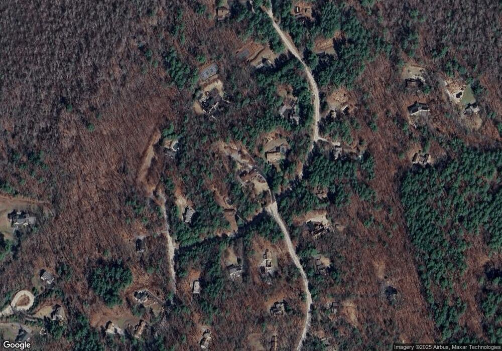
Map
Nearby Homes
- 1056 Curve St
- 1420 Curve St
- 225 Lowell St
- 12 Martin St
- 8 Kay's Walk Unit 13
- 14 Kay's Walk
- 6 Kay's Walk Unit 6
- 6 Kay's Walk
- 2 Kay's Walk Unit 18
- 4 Kay's Walk Unit 15
- 3 Kay's Walk
- 15 Kay's Walk
- 1 Kay's Walk Unit 1
- 1 Kay's Walk
- 13 Kay's Walk
- 15 Kay's Walk Unit 4
- 3 Kay's Walk Unit 3
- 1 Garrison Way Unit 1
- 875 Acton St
- 232 Baldwin Rd
- 77 Nathan Ln
- 35 Nathan Ln
- 258 Virginia Farme Ln
- 135 Nathan Ln
- 80 Nathan Ln
- 153 Nathan Ln
- 272 Virginia Farme Ln
- 251 Munroe Hill Rd
- 264 Munroe Hill Rd
- 8 Nathan Ln
- 100 Nathan Ln
- 124 Nathan Ln
- 161 Nathan Ln
- 252 Munroe Hill Rd
- 214 Virginia Farme Ln
- 253 Virginia Farme Ln
- 235 Munroe Hill Rd
- 148 Nathan Ln
- 199 Nathan Ln
- 232 Munroe Hill Rd