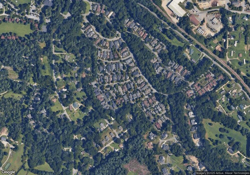
53 Olmsted Ln Flat Rock, NC 28731
Estimated Value: $655,676 - $706,000
--
Bed
2
Baths
2,363
Sq Ft
$284/Sq Ft
Est. Value
About This Home
This home is located at 53 Olmsted Ln, Flat Rock, NC 28731 and is currently estimated at $671,919, approximately $284 per square foot. 53 Olmsted Ln is a home located in Henderson County with nearby schools including Hillandale Elementary School, Flat Rock Middle School, and East Henderson High School.
Ownership History
Date
Name
Owned For
Owner Type
Purchase Details
Closed on
Apr 26, 2005
Sold by
Not Provided
Bought by
Dawood Peter F and Dawood Susan E
Current Estimated Value
Home Financials for this Owner
Home Financials are based on the most recent Mortgage that was taken out on this home.
Original Mortgage
$84,674
Outstanding Balance
$26,570
Interest Rate
5.99%
Mortgage Type
Purchase Money Mortgage
Estimated Equity
$645,349
Create a Home Valuation Report for This Property
The Home Valuation Report is an in-depth analysis detailing your home's value as well as a comparison with similar homes in the area
Home Values in the Area
Average Home Value in this Area
Purchase History
| Date | Buyer | Sale Price | Title Company |
|---|---|---|---|
| Dawood Peter F | $316,500 | -- |
Source: Public Records
Mortgage History
| Date | Status | Borrower | Loan Amount |
|---|---|---|---|
| Open | Dawood Peter F | $84,674 | |
| Open | Dawood Peter F | $200,000 |
Source: Public Records
Tax History Compared to Growth
Tax History
| Year | Tax Paid | Tax Assessment Tax Assessment Total Assessment is a certain percentage of the fair market value that is determined by local assessors to be the total taxable value of land and additions on the property. | Land | Improvement |
|---|---|---|---|---|
| 2025 | $2,442 | $566,600 | $60,000 | $506,600 |
| 2024 | $2,442 | $566,600 | $60,000 | $506,600 |
| 2023 | $2,442 | $566,600 | $60,000 | $506,600 |
| 2022 | $2,316 | $412,900 | $60,000 | $352,900 |
| 2021 | $2,312 | $412,100 | $60,000 | $352,100 |
| 2020 | $2,312 | $412,100 | $0 | $0 |
| 2019 | $2,312 | $412,100 | $0 | $0 |
| 2018 | $1,733 | $306,800 | $0 | $0 |
| 2017 | $1,733 | $306,800 | $0 | $0 |
| 2016 | $1,733 | $306,800 | $0 | $0 |
| 2015 | -- | $306,800 | $0 | $0 |
| 2014 | -- | $312,500 | $0 | $0 |
Source: Public Records
Map
Nearby Homes
- 24 Stepping Stone Ln
- 11 Town Cir
- TBD Lindsey Farm Dr
- 99 Pinecrest Estates Dr
- 67 Valentine St
- 20 Lake Jordan Dr Unit 501
- 20 Lake Jordan Dr Unit 503
- 52 Lake Jordan Dr
- 310 E Walker Street Extension
- 1150 W Blue Ridge Rd Unit 103 Mill House Bldg
- 419 E Blue Ridge Rd
- 197 Highland Golf Dr
- 267 Highland Golf Dr
- 2606 Greenville Hwy
- 102 Boyd Dr Unit 5C
- 102 Boyd Dr Unit 7A
- 19 Robert e Lee Dr
- 2715 Greenville Hwy
- 1 Dead End Rd
- 315 Charlestown Dr
- 55 Olmsted Ln
- 43 Olmsted Ln
- 77 Olmsted Ln
- 35 Olmsted Ln
- 40 Olmsted Ln
- 54 Olmsted Ln
- 80 S Inglenook
- 68 S Inglenook
- 28 Olmsted Ln
- 90 S Inglenook
- 89 Olmsted Ln
- 58 S Inglenook
- 68 Olmsted Ln
- 96 S Inglenook
- 48 S Inglenook
- 80 Olmsted Ln
- 274 Village Greenway
- 274 Village Greenway
- 99 Olmsted Ln
- 268 Village Greenway
