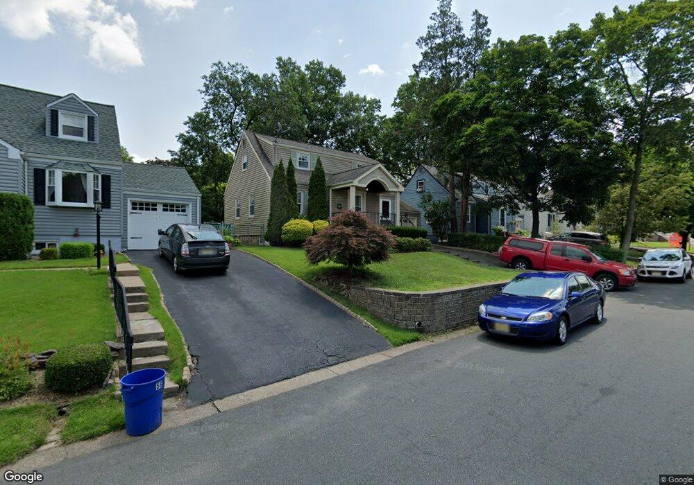
53 Overlook Dr Dumont, NJ 07628
Estimated Value: $583,000 - $741,000
4
Beds
2
Baths
1,330
Sq Ft
$498/Sq Ft
Est. Value
About This Home
This home is located at 53 Overlook Dr, Dumont, NJ 07628 and is currently estimated at $662,222, approximately $497 per square foot. 53 Overlook Dr is a home located in Bergen County with nearby schools including Dumont High School.
Ownership History
Date
Name
Owned For
Owner Type
Purchase Details
Closed on
May 15, 2018
Sold by
Geist Jared A and Mcginnis Ashley K
Bought by
Palamattam Jessey R
Current Estimated Value
Home Financials for this Owner
Home Financials are based on the most recent Mortgage that was taken out on this home.
Original Mortgage
$336,000
Outstanding Balance
$286,806
Interest Rate
4.4%
Mortgage Type
Purchase Money Mortgage
Estimated Equity
$375,416
Purchase Details
Closed on
Sep 29, 2012
Sold by
Walton Michael and Walton Corie
Bought by
Mcginnis
Purchase Details
Closed on
Sep 23, 2011
Sold by
Ulmer Kevin W and Ulmer Christina A
Bought by
Walton Michael and Walton Cori
Home Financials for this Owner
Home Financials are based on the most recent Mortgage that was taken out on this home.
Original Mortgage
$339,150
Interest Rate
1.87%
Mortgage Type
Purchase Money Mortgage
Purchase Details
Closed on
Sep 30, 2005
Sold by
Polles Thomas
Bought by
Ulmer Kevin and Komas Christina
Home Financials for this Owner
Home Financials are based on the most recent Mortgage that was taken out on this home.
Original Mortgage
$352,000
Interest Rate
5.81%
Purchase Details
Closed on
Oct 19, 2001
Sold by
Lillis Barry T
Bought by
Polles Thomas
Home Financials for this Owner
Home Financials are based on the most recent Mortgage that was taken out on this home.
Original Mortgage
$220,000
Interest Rate
6.6%
Purchase Details
Closed on
Sep 21, 2000
Bought by
Lillis Barry T
Home Financials for this Owner
Home Financials are based on the most recent Mortgage that was taken out on this home.
Original Mortgage
$18,500
Interest Rate
7.78%
Purchase Details
Closed on
Jan 31, 2000
Sold by
Gormley Brian F and Gormley Christine M
Bought by
Lillis Barry T
Home Financials for this Owner
Home Financials are based on the most recent Mortgage that was taken out on this home.
Original Mortgage
$158,000
Interest Rate
7.91%
Mortgage Type
Stand Alone First
Purchase Details
Closed on
Feb 28, 1997
Sold by
Laessig Rose V
Bought by
Gormley Brian and Gormley Christine
Home Financials for this Owner
Home Financials are based on the most recent Mortgage that was taken out on this home.
Original Mortgage
$137,000
Interest Rate
7.77%
Create a Home Valuation Report for This Property
The Home Valuation Report is an in-depth analysis detailing your home's value as well as a comparison with similar homes in the area
Home Values in the Area
Average Home Value in this Area
Purchase History
| Date | Buyer | Sale Price | Title Company |
|---|---|---|---|
| Palamattam Jessey R | $420,000 | -- | |
| Mcginnis | $365,000 | -- | |
| Mcginnis | $365,000 | -- | |
| Walton Michael | $399,000 | -- | |
| Ulmer Kevin | $440,000 | -- | |
| Polles Thomas | $275,000 | -- | |
| Lillis Barry T | -- | -- | |
| Lillis Barry T | -- | -- | |
| Lillis Barry T | $198,000 | -- | |
| Gormley Brian | $151,750 | -- |
Source: Public Records
Mortgage History
| Date | Status | Borrower | Loan Amount |
|---|---|---|---|
| Open | Palamattam Jessey R | $336,000 | |
| Previous Owner | Walton Michael | $339,150 | |
| Previous Owner | Ulmer Kevin | $352,000 | |
| Previous Owner | Polles Thomas | $220,000 | |
| Previous Owner | Lillis Barry T | $18,500 | |
| Previous Owner | Lillis Barry T | $158,000 | |
| Previous Owner | Gormley Brian | $137,000 |
Source: Public Records
Tax History
| Year | Tax Paid | Tax Assessment Tax Assessment Total Assessment is a certain percentage of the fair market value that is determined by local assessors to be the total taxable value of land and additions on the property. | Land | Improvement |
|---|---|---|---|---|
| 2025 | $13,813 | $537,000 | $286,200 | $250,800 |
| 2024 | $13,473 | $339,800 | $161,000 | $178,800 |
| 2023 | $13,194 | $339,800 | $161,000 | $178,800 |
| 2022 | $13,194 | $339,800 | $161,000 | $178,800 |
| 2021 | $13,130 | $339,800 | $161,000 | $178,800 |
| 2020 | $12,773 | $339,800 | $161,000 | $178,800 |
| 2019 | $12,467 | $339,800 | $161,000 | $178,800 |
| 2018 | $12,212 | $339,800 | $161,000 | $178,800 |
| 2017 | $11,978 | $339,800 | $161,000 | $178,800 |
| 2016 | $11,699 | $339,800 | $161,000 | $178,800 |
| 2015 | $11,431 | $339,800 | $161,000 | $178,800 |
| 2014 | $11,207 | $339,800 | $161,000 | $178,800 |
Source: Public Records
Map
Nearby Homes
- 7 Overlook Dr
- 116 Lexington Ave
- 112 Oxford Place
- 42 Lenox Ave
- 15 Pleasant St
- 67 Central Ave
- 109 Delong Ave
- 284 Madison Ave
- 225 12th St
- 292 Magnolia Ave
- 82 Blauvelt Ave
- 15 Dunn Place
- 177 Magnolia Ave
- 57 Merrifield Way
- 40 Depew St
- 64 Harwich Rd
- 119 Stonegate Trail
- 136 Stonegate Trail Unit 37
- 137 6th St
- 19 Bedford Rd
Your Personal Tour Guide
Ask me questions while you tour the home.