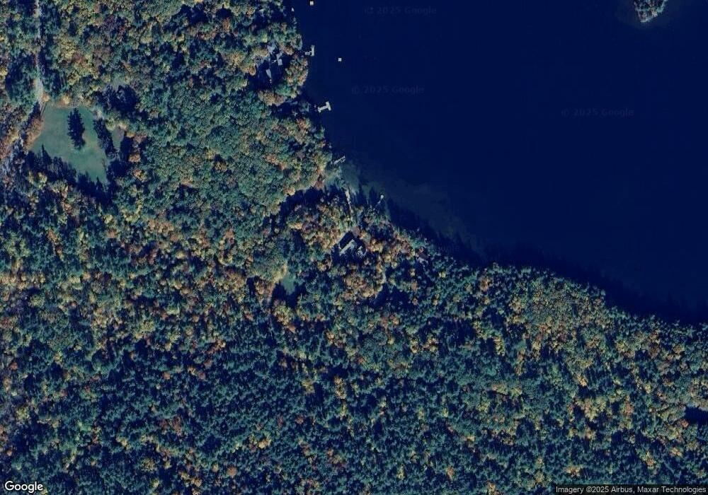
53 Paugus Rd Holderness, NH 03245
Estimated Value: $2,415,000 - $4,588,273
About This Home
This home is located at 53 Paugus Rd, Holderness, NH 03245 and is currently estimated at $3,501,637, approximately $1,138 per square foot. 53 Paugus Rd is a home with nearby schools including Holderness Central School and Plymouth Regional High School.
Ownership History
We collect this data history from publicly available records. To have your information removed, we recommend requesting removal directly through your county’s website.
Purchase Details
Purchase Details
Home Values in the Area
Average Home Value in this Area
Purchase History
We collect this data history from publicly available records. To have your information removed, we recommend requesting removal directly through your county’s website.
| Date | Buyer | Sale Price | Title Company |
|---|---|---|---|
| $1,400,000 | -- | ||
| $1,400,000 | -- | ||
| $1,400,000 | -- | ||
| $1,400,000 | -- |
Mortgage History
We collect this data history from publicly available records. To have your information removed, we recommend requesting removal directly through your county’s website.
| Date | Status | Borrower | Loan Amount |
|---|---|---|---|
| Closed | $0 |
Tax History
We collect this data history from publicly available records. To have your information removed, we recommend requesting removal directly through your county’s website.
| Year | Tax Paid | Tax Assessment Tax Assessment Total Assessment is a certain percentage of the fair market value that is determined by local assessors to be the total taxable value of land and additions on the property. | Land | Improvement |
|---|---|---|---|---|
| 2025 | $34,170 | $3,627,352 | $2,685,752 | $941,600 |
| 2024 | $48,779 | $5,639,200 | $4,697,600 | $941,600 |
| 2023 | $48,441 | $5,639,200 | $4,697,600 | $941,600 |
| 2022 | $37,013 | $3,298,800 | $2,597,500 | $701,300 |
| 2021 | $25,830 | $2,283,826 | $1,582,526 | $701,300 |
| 2020 | $19,145 | $1,409,764 | $907,764 | $502,000 |
| 2019 | $18,568 | $1,409,878 | $907,878 | $502,000 |
| 2018 | $18,144 | $1,409,817 | $907,817 | $502,000 |
| 2017 | $18,133 | $1,278,780 | $811,180 | $467,600 |
| 2016 | $18,133 | $1,278,780 | $811,180 | $467,600 |
| 2015 | $18,133 | $1,278,780 | $811,180 | $467,600 |
| 2014 | $3,259 | $226,600 | $1,300 | $225,300 |
| 2011 | $16,859 | $1,281,100 | $1,281,100 | $0 |
Map
- 28 Potato Island
- 43 Howard Rd
- Map 202 Lot 1 New Hampshire 25
- 22 Circle Dr Unit 37
- 85 Shepard Hill Rd
- 135 Shepard Hill Rd
- 260 Pinehurst Rd
- 388 Perch Pond Rd
- 46 Laurel Island Ln
- 0 Route 3 Unit 5073061
- 206 High Country Way Unit (aka Unit 100)
- 186 High Country Way Unit 95
- 262 High Country Way
- 7 Ledges Rd Unit (aka Unit 79)
- 34 Upper Meadows Rd Unit (aka Unit 85)
- 8 Boulders Rd Unit (aka Unit 66)
- 96 Lane Rd
- 93 High Country Way Unit (aka Unit 42)
- 10 Hollows Rd Unit (aka Unit 48)
- 11 Squamasee Rd
Ask me questions while you tour the home.