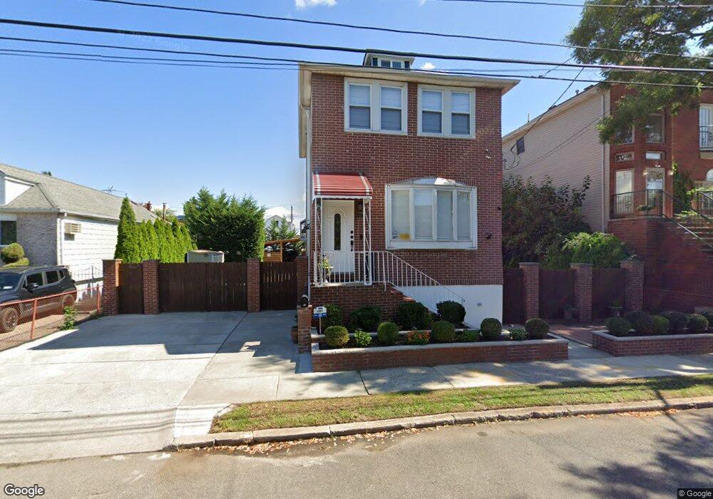
53 Pearsall St Staten Island, NY 10305
South Beach NeighborhoodEstimated Value: $633,724 - $844,000
3
Beds
2
Baths
1,600
Sq Ft
$464/Sq Ft
Est. Value
About This Home
This home is located at 53 Pearsall St, Staten Island, NY 10305 and is currently estimated at $741,931, approximately $463 per square foot. 53 Pearsall St is a home located in Richmond County with nearby schools including P.S. 46 Albert V Maniscalco, I.S. 49 Berta A Dreyfus, and Curtis High School.
Ownership History
Date
Name
Owned For
Owner Type
Purchase Details
Closed on
Oct 28, 1999
Sold by
Morrissey Ida
Bought by
Sobolewski Jan and Sobolewski Jolanta
Current Estimated Value
Home Financials for this Owner
Home Financials are based on the most recent Mortgage that was taken out on this home.
Original Mortgage
$175,000
Interest Rate
7.98%
Create a Home Valuation Report for This Property
The Home Valuation Report is an in-depth analysis detailing your home's value as well as a comparison with similar homes in the area
Home Values in the Area
Average Home Value in this Area
Purchase History
| Date | Buyer | Sale Price | Title Company |
|---|---|---|---|
| Sobolewski Jan | $194,500 | First American Title Ins Co |
Source: Public Records
Mortgage History
| Date | Status | Borrower | Loan Amount |
|---|---|---|---|
| Previous Owner | Sobolewski Jan | $175,000 |
Source: Public Records
Tax History Compared to Growth
Tax History
| Year | Tax Paid | Tax Assessment Tax Assessment Total Assessment is a certain percentage of the fair market value that is determined by local assessors to be the total taxable value of land and additions on the property. | Land | Improvement |
|---|---|---|---|---|
| 2025 | $5,524 | $37,380 | $5,364 | $32,016 |
| 2024 | $5,524 | $36,420 | $5,392 | $31,028 |
| 2023 | $5,270 | $25,949 | $4,941 | $21,008 |
| 2022 | $4,887 | $30,480 | $7,140 | $23,340 |
| 2021 | $4,849 | $32,100 | $7,140 | $24,960 |
| 2020 | $4,657 | $31,800 | $7,140 | $24,660 |
| 2019 | $4,502 | $27,660 | $7,140 | $20,520 |
| 2018 | $4,110 | $21,624 | $5,522 | $16,102 |
| 2017 | $3,859 | $20,400 | $7,140 | $13,260 |
| 2016 | $3,822 | $20,670 | $6,456 | $14,214 |
| 2015 | $3,437 | $19,500 | $5,940 | $13,560 |
| 2014 | $3,437 | $19,500 | $5,940 | $13,560 |
Source: Public Records
Map
Nearby Homes
- 40 Mclaughlin St
- 226 Olympia Blvd Unit 228
- 182 Olympia Blvd
- 49 Mclaughlin St
- 11 Lava St
- 193 Olympia Blvd
- 53 Andrews St
- 104 Winfield St
- 270 Norway Ave
- 236 Mallory Ave
- 179 Hickory Ave
- 150 Linwood Ave
- 166 Jerome Ave
- 46 Olympia Blvd
- 44 Olympia Blvd
- 220 Norway Ave
- 475 Father Capodanno Blvd
- 504 Mcclean Ave
- 116 Bionia Ave
- 104 Oberlin St
- 53 Pearsall St
- 53 Pearsall St
- 55 Pearsall St
- 47 Pearsall St
- 43 Pearsall St
- 59 Pearsall St
- 59 Pearsall St Unit Building
- 0 Pearsall St
- 41 Pearsall St
- 61 Pearsall St
- 64 Mclaughlin St
- 35 Pearsall St
- 62 Mclaughlin St
- 66 Mclaughlin St
- 52 Mclaughlin St
- 63 Pearsall St
- 68 Mclaughlin St
- 46 Mclaughlin St
- 37 Pearsall St
- 50 Pearsall St Unit B