53 Perron Ave Somerset, MA 02726
Brayton Point NeighborhoodEstimated Value: $435,000 - $466,000
2
Beds
1
Bath
1,135
Sq Ft
$396/Sq Ft
Est. Value
About This Home
This home is located at 53 Perron Ave, Somerset, MA 02726 and is currently estimated at $449,875, approximately $396 per square foot. 53 Perron Ave is a home located in Bristol County with nearby schools including Chace Street School, Somerset Middle School, and St. Michael's School.
Ownership History
Date
Name
Owned For
Owner Type
Purchase Details
Closed on
Oct 2, 2025
Sold by
Guay Christopher A
Bought by
Christopher A Guay Irt and Guay
Current Estimated Value
Purchase Details
Closed on
Sep 12, 2000
Sold by
Cichon Robert J and Cichon Richard P
Bought by
Guay Christopher A
Create a Home Valuation Report for This Property
The Home Valuation Report is an in-depth analysis detailing your home's value as well as a comparison with similar homes in the area
Home Values in the Area
Average Home Value in this Area
Purchase History
| Date | Buyer | Sale Price | Title Company |
|---|---|---|---|
| Christopher A Guay Irt | -- | -- | |
| Guay Christopher A | $147,500 | -- | |
| Guay Christopher A | $147,500 | -- |
Source: Public Records
Mortgage History
| Date | Status | Borrower | Loan Amount |
|---|---|---|---|
| Previous Owner | Guay Christopher A | $150,000 | |
| Previous Owner | Guay Christopher A | $28,000 | |
| Previous Owner | Guay Christopher A | $112,500 |
Source: Public Records
Tax History Compared to Growth
Tax History
| Year | Tax Paid | Tax Assessment Tax Assessment Total Assessment is a certain percentage of the fair market value that is determined by local assessors to be the total taxable value of land and additions on the property. | Land | Improvement |
|---|---|---|---|---|
| 2025 | $5,089 | $382,600 | $184,000 | $198,600 |
| 2024 | $4,794 | $374,800 | $184,000 | $190,800 |
| 2023 | $4,466 | $352,200 | $167,100 | $185,100 |
| 2022 | $4,119 | $309,900 | $144,300 | $165,600 |
| 2021 | $4,152 | $282,800 | $130,500 | $152,300 |
| 2020 | $4,230 | $277,900 | $130,400 | $147,500 |
| 2019 | $4,833 | $264,800 | $130,400 | $134,400 |
| 2018 | $4,220 | $248,800 | $126,100 | $122,700 |
| 2017 | $4,225 | $242,800 | $126,100 | $116,700 |
| 2016 | $4,591 | $262,200 | $126,100 | $136,100 |
| 2015 | $4,025 | $232,000 | $118,700 | $113,300 |
| 2014 | $5,323 | $220,400 | $113,200 | $107,200 |
Source: Public Records
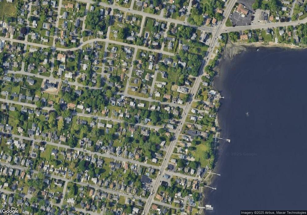
Map
Nearby Homes
- 34 Doherty Ave
- 1496 Riverside Ave
- 66 Meadow Ln
- 80 Meadow Ln
- 82 Perry Ave
- 8 Tower Hill Rd
- 82 Wellington St
- 21 Bradley Ave
- 96 Wellington St
- 95 Caroline Ave
- 337 Lepes Rd
- 105 Cornhill Rd
- 1928 N Main St Unit 4
- 297 Lindsey St
- 195 Crescent St Unit 2
- 126 Jaffrey St
- 1556 N Main St Unit 7
- 409 Crescent St
- 84 Cory St
- 29 Valentine St
- 0 Boivin Ave
- 60 Chatterton Ave
- 27 Perron Ave
- 52 Perron Ave
- 32 Perron Ave
- 75 Perron Ave
- 74 Chatterton Ave
- 1233 Riverside Ave
- 20 Perron Ave
- 76 Perron Ave
- 24 Boivin Ave
- 24 Boivin Ave Unit 1
- 103 Perron Ave
- 1263 Riverside Ave
- 94 Chatterton Ave
- 104 Perron Ave
- 51 Chatterton Ave
- 113 Perron Ave
- 1283 Riverside Ave
- 1215 Riverside Ave