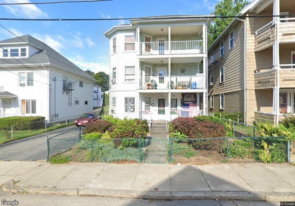
53 Read Ave Woonsocket, RI 02895
East Woonsocket NeighborhoodEstimated Value: $544,000 - $649,000
9
Beds
3
Baths
4,110
Sq Ft
$146/Sq Ft
Est. Value
About This Home
This home is located at 53 Read Ave, Woonsocket, RI 02895 and is currently estimated at $598,667, approximately $145 per square foot. 53 Read Ave is a home located in Providence County with nearby schools including Woonsocket High School, Rise Prep Mayoral Academy Middle School, and Rise Prep Mayoral Academy.
Ownership History
Date
Name
Owned For
Owner Type
Purchase Details
Closed on
Feb 10, 2021
Sold by
Bandilla Joyce M
Bought by
Guy Richard
Current Estimated Value
Purchase Details
Closed on
Sep 29, 2017
Sold by
Therese M Hogue Irt and Hogue
Bought by
Hogue Donald R and Bandilla Joyce M
Purchase Details
Closed on
Jun 17, 2011
Sold by
Hogue Therese M
Bought by
Therese M Houge T
Create a Home Valuation Report for This Property
The Home Valuation Report is an in-depth analysis detailing your home's value as well as a comparison with similar homes in the area
Home Values in the Area
Average Home Value in this Area
Purchase History
| Date | Buyer | Sale Price | Title Company |
|---|---|---|---|
| Guy Richard | $200,000 | None Available | |
| Richard Guy | $200,000 | None Available | |
| Guy Richard | $200,000 | None Available | |
| Hogue Donald R | -- | -- | |
| Hogue Donald R | -- | -- | |
| Therese M Houge T | -- | -- | |
| Therese M Houge T | -- | -- | |
| Hogue Therese M | -- | -- | |
| Therese M Houge T M | -- | -- |
Source: Public Records
Tax History
| Year | Tax Paid | Tax Assessment Tax Assessment Total Assessment is a certain percentage of the fair market value that is determined by local assessors to be the total taxable value of land and additions on the property. | Land | Improvement |
|---|---|---|---|---|
| 2025 | $6,138 | $546,600 | $87,900 | $458,700 |
| 2024 | $4,964 | $341,400 | $89,500 | $251,900 |
| 2023 | $4,773 | $341,400 | $89,500 | $251,900 |
| 2022 | $4,773 | $341,400 | $89,500 | $251,900 |
| 2021 | $3,755 | $158,100 | $35,600 | $122,500 |
| 2020 | $3,794 | $158,100 | $35,600 | $122,500 |
| 2018 | $3,807 | $158,100 | $35,600 | $122,500 |
| 2017 | $4,386 | $145,700 | $40,000 | $105,700 |
| 2016 | $4,639 | $145,700 | $40,000 | $105,700 |
| 2015 | $5,330 | $145,700 | $40,000 | $105,700 |
| 2014 | $5,096 | $141,800 | $44,000 | $97,800 |
Source: Public Records
Map
Nearby Homes
- 311 Elm St
- 56 Mailloux St
- 51 Wood Ave
- 263 Elm St
- 568 Elm St
- 40 Burnside Ave
- 685 Social St Unit 308
- 685 Social St Unit 313
- 551 Wood Ave
- 538 Wood Ave
- 18 Villa Nova St
- 60 Rathbun St
- 372 Cumberland Hill Rd
- 90 Mill St Unit 202
- 92 Mill St Unit 303
- 108 Mill St Unit 104
- 410 Carrington Ave
- 404 Carrington Ave
- 346 Carrington Ave
- 213 St Louis Ave
Your Personal Tour Guide
Ask me questions while you tour the home.