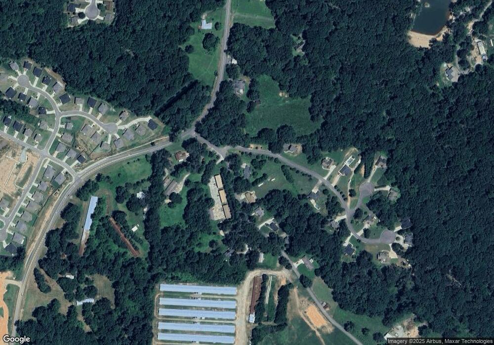
53 Reeves Rd Dawsonville, GA 30534
Dawson County NeighborhoodEstimated Value: $335,000 - $416,000
3
Beds
2
Baths
1,912
Sq Ft
$192/Sq Ft
Est. Value
About This Home
This home is located at 53 Reeves Rd, Dawsonville, GA 30534 and is currently estimated at $367,063, approximately $191 per square foot. 53 Reeves Rd is a home located in Dawson County with nearby schools including Riverview Elementary School, Dawson County Junior High School, and Dawson County Middle School.
Ownership History
Date
Name
Owned For
Owner Type
Purchase Details
Closed on
Aug 30, 2016
Bought by
Weaver Dennis
Current Estimated Value
Purchase Details
Closed on
Jan 30, 2015
Sold by
Neil Family Lp
Bought by
Zachian Investment Llc
Purchase Details
Closed on
Dec 21, 2012
Sold by
Zachian Investment Llc
Bought by
Neil Fam Limited Partnershi
Purchase Details
Closed on
Oct 20, 2008
Sold by
Neil Ken
Bought by
Zachian Investment Llc
Purchase Details
Closed on
Jun 9, 2003
Sold by
Raines Robert
Bought by
Neil Ken
Purchase Details
Closed on
Jan 16, 2003
Sold by
Wallace Sherman Billy and Mary Gail
Bought by
Raines Robert
Create a Home Valuation Report for This Property
The Home Valuation Report is an in-depth analysis detailing your home's value as well as a comparison with similar homes in the area
Home Values in the Area
Average Home Value in this Area
Purchase History
| Date | Buyer | Sale Price | Title Company |
|---|---|---|---|
| Weaver Dennis | $125,000 | -- | |
| Ksn Enterprises Llc | -- | -- | |
| Zachian Investment Llc | -- | -- | |
| Neil Fam Limited Partnershi | -- | -- | |
| Zachian Investment Llc | -- | -- | |
| Neil Ken | -- | -- | |
| Raines Robert | $340,000 | -- | |
| Neil Ken | $90,000 | -- |
Source: Public Records
Tax History Compared to Growth
Tax History
| Year | Tax Paid | Tax Assessment Tax Assessment Total Assessment is a certain percentage of the fair market value that is determined by local assessors to be the total taxable value of land and additions on the property. | Land | Improvement |
|---|---|---|---|---|
| 2024 | $270 | $129,560 | $19,160 | $110,400 |
| 2023 | $577 | $127,960 | $14,360 | $113,600 |
| 2022 | $374 | $94,480 | $13,000 | $81,480 |
| 2021 | $179 | $84,920 | $13,000 | $71,920 |
| 2020 | $155 | $83,560 | $12,600 | $70,960 |
| 2019 | $1,820 | $76,120 | $12,600 | $63,520 |
| 2018 | $1,820 | $76,120 | $12,600 | $63,520 |
| 2017 | $1,148 | $55,525 | $12,800 | $42,725 |
| 2016 | $1,248 | $52,194 | $11,200 | $40,994 |
| 2015 | $1,187 | $48,098 | $10,304 | $37,794 |
| 2014 | $1,093 | $42,909 | $9,520 | $33,389 |
| 2013 | -- | $35,513 | $7,840 | $27,673 |
Source: Public Records
Map
Nearby Homes
- 15 Parks Trail
- 91 Crockett Dr
- 176 J C Burt Rd
- 21 Shepard Dr
- 284 Thunder Valley
- 270 Shepard Dr
- 399 Burts Crossing Dr
- 61 Finley Creek Dr
- 95 Ridge Water Ln
- 653 Highway 9 S
- 262 Magnolia Dr
- 46 Fernbrook Trail
- 181 Longleaf St
- 17 Swift Creek Dr
- 0 Mill Creek Dr Unit 7479868
- 0 Mill Creek Dr Unit 10405516
- 75 Pearl Chambers Dr
- 101 Reeves Rd
- 119 Reeves Rd
- 54 Reeves Rd Unit 4
- 54 Reeves Rd Unit 7
- 29 Reeves Rd
- 55 Nestlebrooke Ct
- 139 Reeves Rd
- 120 Nestlebrooke Dr
- 32 Reeves Rd
- 117 Nestlebrooke Dr
- 171 Reeves Rd
- 28 Reeves Rd
- 1161 Highway 9 S
- 171 Nestlebrooke Dr
- 178 Nestlebrooke Dr
- 0 Nestlebrook Ct Unit 5727360
- 0 Nestlebrook Ct Unit 3087250
- 0 Nestlebrook Ct Unit 7227251
- 0 Nestlebrook Ct Unit 8039054
- 46 Nestlebrooke Ct
