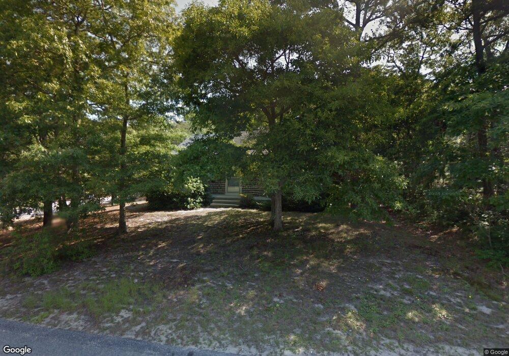
53 Rhine Rd Yarmouth Port, MA 02675
Yarmouth Port NeighborhoodEstimated Value: $468,000 - $536,000
2
Beds
1
Bath
912
Sq Ft
$555/Sq Ft
Est. Value
About This Home
This home is located at 53 Rhine Rd, Yarmouth Port, MA 02675 and is currently estimated at $506,322, approximately $555 per square foot. 53 Rhine Rd is a home located in Barnstable County with nearby schools including Dennis-Yarmouth Regional High School and St. Pius X. School.
Ownership History
Date
Name
Owned For
Owner Type
Purchase Details
Closed on
Jan 18, 1995
Sold by
Ellis Nancy A
Bought by
Florio Ochoa Mary A
Current Estimated Value
Home Financials for this Owner
Home Financials are based on the most recent Mortgage that was taken out on this home.
Original Mortgage
$90,150
Interest Rate
9.16%
Mortgage Type
Purchase Money Mortgage
Purchase Details
Closed on
Oct 11, 1990
Sold by
Dacey William E
Bought by
Ellis Nancy A
Home Financials for this Owner
Home Financials are based on the most recent Mortgage that was taken out on this home.
Original Mortgage
$90,100
Interest Rate
10.18%
Mortgage Type
Purchase Money Mortgage
Create a Home Valuation Report for This Property
The Home Valuation Report is an in-depth analysis detailing your home's value as well as a comparison with similar homes in the area
Home Values in the Area
Average Home Value in this Area
Purchase History
| Date | Buyer | Sale Price | Title Company |
|---|---|---|---|
| Florio Ochoa Mary A | $94,900 | -- | |
| Ellis Nancy A | $94,900 | -- |
Source: Public Records
Mortgage History
| Date | Status | Borrower | Loan Amount |
|---|---|---|---|
| Closed | Ellis Nancy A | $90,150 | |
| Previous Owner | Ellis Nancy A | $90,100 | |
| Closed | Ellis Nancy A | $5,604 |
Source: Public Records
Tax History Compared to Growth
Tax History
| Year | Tax Paid | Tax Assessment Tax Assessment Total Assessment is a certain percentage of the fair market value that is determined by local assessors to be the total taxable value of land and additions on the property. | Land | Improvement |
|---|---|---|---|---|
| 2025 | $2,817 | $397,900 | $137,000 | $260,900 |
| 2024 | $2,832 | $383,700 | $144,400 | $239,300 |
| 2023 | $2,766 | $341,100 | $128,700 | $212,400 |
| 2022 | $2,609 | $284,200 | $115,900 | $168,300 |
| 2021 | $2,466 | $257,900 | $115,900 | $142,000 |
| 2020 | $2,421 | $242,100 | $115,900 | $126,200 |
| 2019 | $2,254 | $223,200 | $115,900 | $107,300 |
| 2018 | $2,075 | $201,700 | $94,400 | $107,300 |
| 2017 | $2,021 | $201,700 | $94,400 | $107,300 |
| 2016 | $1,927 | $193,100 | $85,800 | $107,300 |
| 2015 | $1,873 | $186,600 | $85,800 | $100,800 |
Source: Public Records
Map
Nearby Homes
- 16 Warren Rd Unit 16
- 16 Warren Rd
- 32 Deveau Ln
- 8 Rowley Ln
- 40 Deveau Ln
- 209 Union St
- 0 Forsyth Ave
- 68 Seminole Dr
- 14 Many Oaks Cir
- 30 Quartermaster Row
- 33 Sparrow Way
- 72 Quartermaster Row
- 176 Beacon St
- 17 Trowbridge Path
- 76 Captain Chase Rd
- 882 W Yarmouth Rd
- 50 Cottonwood St
- 1 Hamblin Hill
- 105 Webbers Path
- 49 Captain Besse Rd