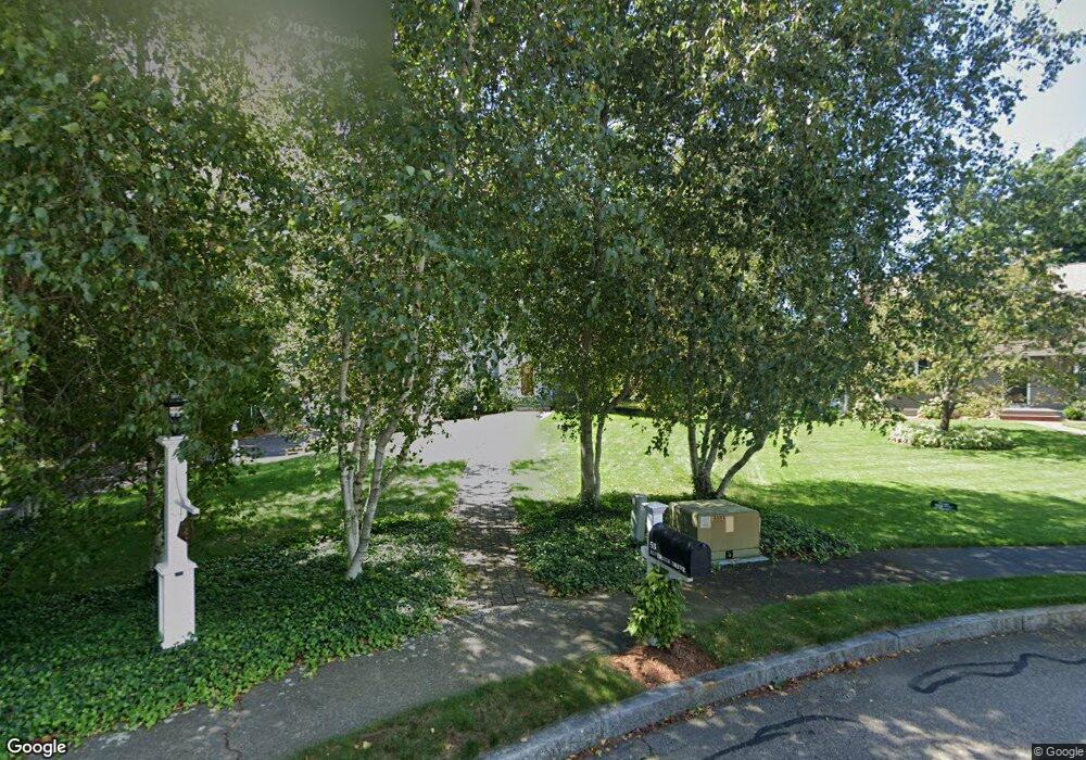
53 Riverside Dr Mansfield, MA 02048
Estimated Value: $765,904 - $844,000
4
Beds
3
Baths
2,004
Sq Ft
$403/Sq Ft
Est. Value
About This Home
This home is located at 53 Riverside Dr, Mansfield, MA 02048 and is currently estimated at $807,726, approximately $403 per square foot. 53 Riverside Dr is a home located in Bristol County with nearby schools including Everett W. Robinson Elementary School, Jordan/Jackson Elementary School, and Harold L. Qualters Middle School.
Ownership History
Date
Name
Owned For
Owner Type
Purchase Details
Closed on
Jun 8, 2016
Sold by
Hawes Steven J and Hawes Deborah M
Bought by
L Steven
Current Estimated Value
Purchase Details
Closed on
Aug 31, 1993
Sold by
Fox Brian K and Fox Judith A
Bought by
Hawes Steven J and Hawes Deborah M
Create a Home Valuation Report for This Property
The Home Valuation Report is an in-depth analysis detailing your home's value as well as a comparison with similar homes in the area
Home Values in the Area
Average Home Value in this Area
Purchase History
| Date | Buyer | Sale Price | Title Company |
|---|---|---|---|
| L Steven | -- | -- | |
| Hawes Steven J | $179,000 | -- |
Source: Public Records
Mortgage History
| Date | Status | Borrower | Loan Amount |
|---|---|---|---|
| Previous Owner | Hawes Steven J | $150,000 | |
| Previous Owner | Hawes Steven J | $50,000 | |
| Previous Owner | Hawes Steven J | $150,000 |
Source: Public Records
Tax History Compared to Growth
Tax History
| Year | Tax Paid | Tax Assessment Tax Assessment Total Assessment is a certain percentage of the fair market value that is determined by local assessors to be the total taxable value of land and additions on the property. | Land | Improvement |
|---|---|---|---|---|
| 2025 | $9,108 | $691,600 | $317,700 | $373,900 |
| 2024 | $9,036 | $669,300 | $331,500 | $337,800 |
| 2023 | $8,832 | $626,800 | $331,500 | $295,300 |
| 2022 | $8,532 | $562,400 | $306,900 | $255,500 |
| 2021 | $7,844 | $510,700 | $234,400 | $276,300 |
| 2020 | $7,732 | $503,400 | $234,400 | $269,000 |
| 2019 | $7,099 | $466,400 | $195,300 | $271,100 |
| 2018 | $2,651 | $452,500 | $186,200 | $266,300 |
| 2017 | $6,604 | $439,700 | $180,700 | $259,000 |
| 2016 | $6,344 | $411,700 | $172,100 | $239,600 |
| 2015 | $6,194 | $399,600 | $172,100 | $227,500 |
Source: Public Records
Map
Nearby Homes
- 245 Willow St
- 14 School St
- 12 Wilson Place
- 21 East St Unit 1D
- 16 East St Unit 2
- 28 Court St
- 28 Court St Unit 4
- 38 Court St
- 72 Court St Unit B
- 34 Warren Ave
- 150 Rumford Ave Unit 222
- 241-243 N Main St
- 76 Samoset Ave
- 450 West St
- 22 Pleasant St Unit B
- 22 Pleasant St Unit A
- 99 Pleasant St
- 460 Ware St
- 442 Ware St
- 82 Brook St