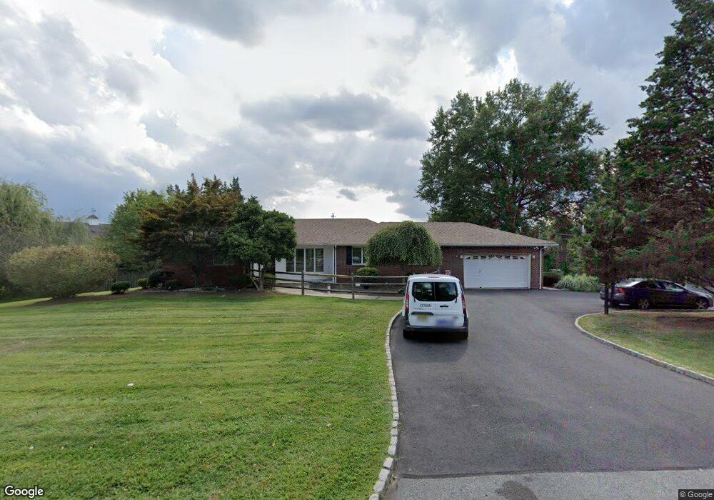
53 Robbins Rd Branchburg, NJ 08876
Branchburg Township NeighborhoodEstimated Value: $739,000 - $961,000
1
Bed
--
Bath
2,849
Sq Ft
$295/Sq Ft
Est. Value
About This Home
This home is located at 53 Robbins Rd, Branchburg, NJ 08876 and is currently estimated at $840,010, approximately $294 per square foot. 53 Robbins Rd is a home located in Somerset County with nearby schools including Whiton Elementary School, Stony Brook School, and Branchburg Central Middle School.
Ownership History
Date
Name
Owned For
Owner Type
Purchase Details
Closed on
Dec 31, 2018
Sold by
Advo Propco Llc
Bought by
Sbf 1 Properties Llc
Current Estimated Value
Purchase Details
Closed on
Dec 19, 2011
Sold by
Appezzato Louis and Appezzato Patricia
Bought by
Gi Advo Propco Llc
Purchase Details
Closed on
Sep 27, 1991
Sold by
Hindmarch Muriel G
Bought by
Appezzato Louis and Appezzato Patricia
Create a Home Valuation Report for This Property
The Home Valuation Report is an in-depth analysis detailing your home's value as well as a comparison with similar homes in the area
Home Values in the Area
Average Home Value in this Area
Purchase History
| Date | Buyer | Sale Price | Title Company |
|---|---|---|---|
| Sbf 1 Properties Llc | $918,500 | Os National Llc | |
| Gi Advo Propco Llc | $445,000 | Group 21 Title Agency | |
| Appezzato Louis | $195,000 | -- |
Source: Public Records
Tax History Compared to Growth
Tax History
| Year | Tax Paid | Tax Assessment Tax Assessment Total Assessment is a certain percentage of the fair market value that is determined by local assessors to be the total taxable value of land and additions on the property. | Land | Improvement |
|---|---|---|---|---|
| 2025 | $9,871 | $603,700 | $161,600 | $442,100 |
| 2024 | $9,871 | $547,200 | $161,600 | $385,600 |
| 2023 | $9,641 | $515,300 | $161,600 | $353,700 |
| 2022 | $9,532 | $484,100 | $161,600 | $322,500 |
| 2021 | $9,767 | $462,000 | $161,600 | $300,400 |
| 2020 | $9,697 | $452,500 | $161,600 | $290,900 |
| 2019 | $9,549 | $443,100 | $156,100 | $287,000 |
| 2018 | $9,420 | $435,900 | $151,100 | $284,800 |
| 2017 | $9,387 | $431,400 | $145,600 | $285,800 |
| 2016 | $9,358 | $427,300 | $140,600 | $286,700 |
| 2015 | $9,356 | $428,000 | $140,600 | $287,400 |
| 2014 | $9,217 | $426,700 | $138,600 | $288,100 |
Source: Public Records
Map
Nearby Homes
- 421 Kenbury Rd
- 1509 Longley Ct Ondo
- 232 River Rd
- 40 Cedar Grove Rd
- 27 Fremont St
- 12 Winthrop Dr
- 103 Red Crest Ln Unit 1C
- 15 Campbell Ct
- 203 Red Crest Ln
- 21 S Davenport St
- 31 S Davenport St
- 46 Strawberry Hill Rd
- 11 Andover Ave
- 185 Milltown Rd
- 95 Milltown Rd
- 5 Walnut Dr
- 261 Old York Rd
- 720 Colonial Ct
- 713 Colonial Ct
- 17 Tiffin Place
- 55 Robbins Rd
- 1032 U S 202
- 1032 Us Highway 202 S
- 56 Robbins Rd
- 58 Robbins Rd
- 52 Robbins Rd
- 61 Robbins Rd
- 1040 Us Highway 202 S
- 1027 Rt202
- 65 Robbins Rd
- 50 Robbins Rd
- 1027 1027-1031 Us-202 S Unit 1031
- 64 Robbins Rd
- 1031 U S 202 Unit 1031
- 1018 Us Highway 202 S
- 1018 Us Highway 202 S Unit 1
- 1027 Us Highway 202 N
- 1027 Us-202 Unit 1
- 67 Robbins Rd
- 1018 U S 202