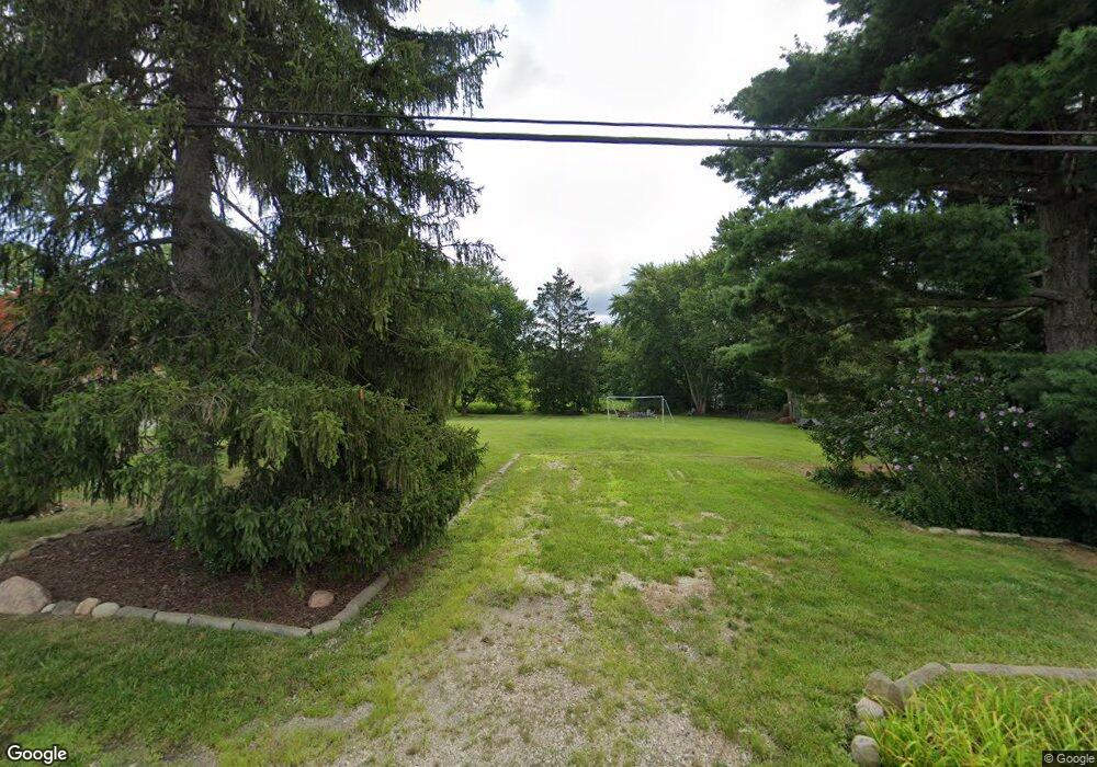
53 S Munroe Rd Tallmadge, OH 44278
Estimated Value: $79,891 - $407,000
5
Beds
2
Baths
1,960
Sq Ft
$109/Sq Ft
Est. Value
About This Home
This home is located at 53 S Munroe Rd, Tallmadge, OH 44278 and is currently estimated at $213,473, approximately $108 per square foot. 53 S Munroe Rd is a home located in Summit County with nearby schools including Tallmadge Middle School, Tallmadge High School, and Steel Academy.
Ownership History
Date
Name
Owned For
Owner Type
Purchase Details
Closed on
May 27, 2020
Sold by
Mccauley William H and Mccauley Catherine A
Bought by
Mccauley William H and Mccauley Catheri
Current Estimated Value
Purchase Details
Closed on
May 26, 2020
Sold by
Mccauley William H and Mccauley Catherine A
Bought by
Mccauley William H and Mccauley Catheri
Purchase Details
Closed on
Mar 26, 2020
Sold by
Mccauley William H and Mccauley Catherine A
Bought by
Mccauley William H and Mccauley Catherine A
Purchase Details
Closed on
Nov 4, 2016
Sold by
White Jeffrey R
Bought by
Mccauley William H
Create a Home Valuation Report for This Property
The Home Valuation Report is an in-depth analysis detailing your home's value as well as a comparison with similar homes in the area
Home Values in the Area
Average Home Value in this Area
Purchase History
| Date | Buyer | Sale Price | Title Company |
|---|---|---|---|
| Mccauley William H | -- | None Listed On Document | |
| Mccauley William H | -- | None Listed On Document | |
| Mccauley William H | -- | None Available | |
| Mccauley William H | $44,000 | None Available |
Source: Public Records
Tax History Compared to Growth
Tax History
| Year | Tax Paid | Tax Assessment Tax Assessment Total Assessment is a certain percentage of the fair market value that is determined by local assessors to be the total taxable value of land and additions on the property. | Land | Improvement |
|---|---|---|---|---|
| 2025 | $420 | $8,243 | $8,243 | -- |
| 2024 | $420 | $8,243 | $8,243 | -- |
| 2021 | $397 | $6,340 | $6,340 | $0 |
| 2020 | $868 | $6,340 | $6,340 | $0 |
| 2019 | $1,709 | $12,480 | $12,480 | $0 |
| 2018 | $767 | $12,480 | $12,480 | $0 |
| 2017 | $2,550 | $12,480 | $12,480 | $0 |
| 2016 | $2,550 | $28,210 | $12,480 | $15,730 |
| 2015 | $2,550 | $42,200 | $12,480 | $29,720 |
| 2014 | $2,532 | $42,200 | $12,480 | $29,720 |
| 2013 | $2,487 | $42,200 | $12,480 | $29,720 |
Source: Public Records
Map
Nearby Homes
- 0 East Ave
- 185 Reserve Dr
- 243 S Munroe Rd
- 288 S Munroe Rd
- 206 Fawnwood Dr
- 213 Green Hill Dr
- 810 Norton Dr
- 988 Beechwood Dr
- 1029 Maple St
- 821 Olde Orchard Dr
- 353 Southeast Ave
- 313 Whittlesey Dr
- 523 S Munroe Rd
- 313 Southeast Ave
- 1072 Carol Ln
- 549 S Munroe Rd
- 1168 East Ave
- 786 Southeast Ave
- 330 Hanna Dr
- 617 Northeast Ave