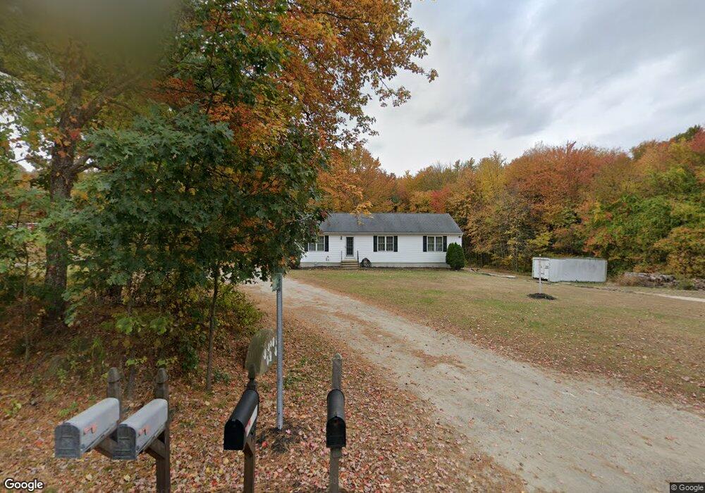
53 SE Main St Douglas, MA 01516
Estimated Value: $515,902 - $560,000
3
Beds
2
Baths
1,352
Sq Ft
$398/Sq Ft
Est. Value
About This Home
This home is located at 53 SE Main St, Douglas, MA 01516 and is currently estimated at $538,476, approximately $398 per square foot. 53 SE Main St is a home located in Worcester County with nearby schools including Douglas Primary School, Douglas Middle School, and Douglas High School.
Ownership History
Date
Name
Owned For
Owner Type
Purchase Details
Closed on
Dec 16, 2003
Sold by
Furno Adam J
Bought by
Mass Electric Co and Verizon Ne Inc
Current Estimated Value
Purchase Details
Closed on
Aug 18, 2003
Sold by
Furno David and Furno Mary Est
Bought by
Furno Adam
Home Financials for this Owner
Home Financials are based on the most recent Mortgage that was taken out on this home.
Original Mortgage
$100,000
Interest Rate
5.46%
Mortgage Type
Purchase Money Mortgage
Purchase Details
Closed on
Aug 9, 1982
Bought by
Furno Adam
Create a Home Valuation Report for This Property
The Home Valuation Report is an in-depth analysis detailing your home's value as well as a comparison with similar homes in the area
Home Values in the Area
Average Home Value in this Area
Purchase History
| Date | Buyer | Sale Price | Title Company |
|---|---|---|---|
| Mass Electric Co | -- | -- | |
| Furno Adam | -- | -- | |
| Furno Adam | -- | -- |
Source: Public Records
Mortgage History
| Date | Status | Borrower | Loan Amount |
|---|---|---|---|
| Previous Owner | Furno Adam | $100,000 |
Source: Public Records
Tax History
| Year | Tax Paid | Tax Assessment Tax Assessment Total Assessment is a certain percentage of the fair market value that is determined by local assessors to be the total taxable value of land and additions on the property. | Land | Improvement |
|---|---|---|---|---|
| 2025 | $57 | $435,300 | $102,900 | $332,400 |
| 2024 | $5,622 | $415,800 | $93,600 | $322,200 |
| 2023 | $5,504 | $383,300 | $93,600 | $289,700 |
| 2022 | $5,384 | $329,500 | $86,900 | $242,600 |
| 2021 | $5,263 | $314,800 | $82,800 | $232,000 |
| 2020 | $5,147 | $303,100 | $82,800 | $220,300 |
| 2019 | $4,930 | $281,700 | $82,800 | $198,900 |
| 2018 | $4,408 | $274,300 | $82,800 | $191,500 |
| 2017 | $4,329 | $258,900 | $86,000 | $172,900 |
| 2016 | $4,217 | $250,700 | $86,000 | $164,700 |
| 2015 | $4,127 | $250,700 | $86,000 | $164,700 |
Source: Public Records
Map
Nearby Homes
- 10 Essex St
- 3 S East Main St
- 11 Old Farm Rd
- 59 Old Farm Rd
- 48 Walnut St
- 99 Maple St
- 41 Martin Rd
- Lot 27 Cedar St
- 240 South St
- 5 B St
- 296 Yew St
- 2 White Ct
- 408 NE Main St
- 22 Gilboa St
- 279 S East Main St Unit Lot 2
- 295 S East Main St Unit Lot 6
- 32 Hemlock St
- 38 Hemlock St
- 153 Davis St
- 299 S East Main St Unit Lot 7
- 55 SE Main St
- 54 SE Main St
- 59 SE Main St
- 56 SE Main St
- 46 SE Main St
- 58 SE Main St
- 65 SE Main St
- 43 SE Main St
- 43 S East Main St
- 66 SE Main St
- 37 SE Main St
- 165 Stonehill Dr Unit 57
- 18 Briarwood Cir
- 38 SE Main St
- 69 S East Main St
- 69 SE Main St
- 72 SE Main St
- 31 SE Main St
- 49 SE Main St
- 14 Briarwood Cir
Your Personal Tour Guide
Ask me questions while you tour the home.