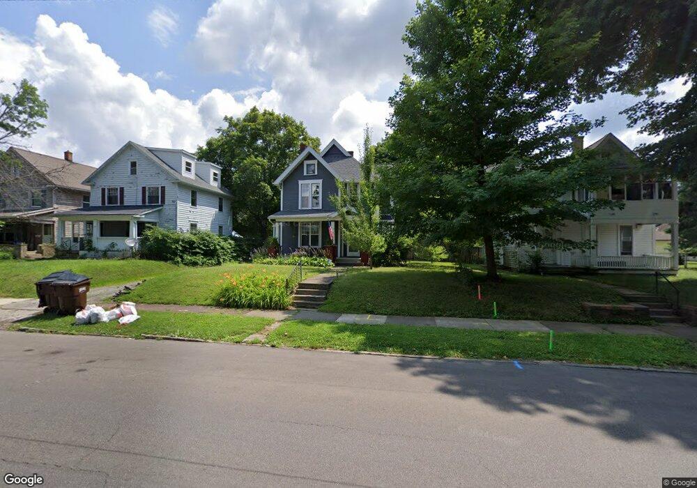
53 Sherman Ave Mansfield, OH 44906
Estimated Value: $150,000 - $214,999
4
Beds
2
Baths
2,462
Sq Ft
$72/Sq Ft
Est. Value
About This Home
This home is located at 53 Sherman Ave, Mansfield, OH 44906 and is currently estimated at $178,000, approximately $72 per square foot. 53 Sherman Ave is a home located in Richland County with nearby schools including Goal Digital Academy, St. Peter's Elementary/Montessori School, and St. Peter's Junior High / High School.
Ownership History
Date
Name
Owned For
Owner Type
Purchase Details
Closed on
Nov 3, 2004
Sold by
Cheney Jared W and Cheney Olivia A
Bought by
Kime Mark A and Kime Jennifer K
Current Estimated Value
Home Financials for this Owner
Home Financials are based on the most recent Mortgage that was taken out on this home.
Original Mortgage
$74,100
Outstanding Balance
$36,796
Interest Rate
5.81%
Mortgage Type
Purchase Money Mortgage
Estimated Equity
$141,204
Purchase Details
Closed on
May 8, 2003
Sold by
York Randall D and York Paula A
Bought by
Cheney Jared W and Cheney Olivia A
Purchase Details
Closed on
Mar 2, 1992
Sold by
Jones Erick E
Bought by
York Randall D
Purchase Details
Closed on
Sep 1, 1986
Create a Home Valuation Report for This Property
The Home Valuation Report is an in-depth analysis detailing your home's value as well as a comparison with similar homes in the area
Home Values in the Area
Average Home Value in this Area
Purchase History
| Date | Buyer | Sale Price | Title Company |
|---|---|---|---|
| Kime Mark A | $78,000 | Southern Title | |
| Cheney Jared W | $5,000 | Southern Title | |
| York Randall D | $35,000 | -- | |
| -- | $32,100 | -- |
Source: Public Records
Mortgage History
| Date | Status | Borrower | Loan Amount |
|---|---|---|---|
| Open | Kime Mark A | $74,100 |
Source: Public Records
Tax History
| Year | Tax Paid | Tax Assessment Tax Assessment Total Assessment is a certain percentage of the fair market value that is determined by local assessors to be the total taxable value of land and additions on the property. | Land | Improvement |
|---|---|---|---|---|
| 2024 | $1,892 | $41,330 | $6,760 | $34,570 |
| 2023 | $1,935 | $41,330 | $6,760 | $34,570 |
| 2022 | $1,608 | $28,780 | $5,480 | $23,300 |
| 2021 | $1,619 | $28,780 | $5,480 | $23,300 |
| 2020 | $1,656 | $28,780 | $5,480 | $23,300 |
| 2019 | $1,835 | $28,780 | $5,480 | $23,300 |
| 2018 | $1,810 | $28,780 | $5,480 | $23,300 |
| 2017 | $1,753 | $28,780 | $5,480 | $23,300 |
| 2016 | $1,746 | $27,660 | $5,830 | $21,830 |
| 2015 | $1,746 | $27,660 | $5,830 | $21,830 |
| 2014 | $1,646 | $27,660 | $5,830 | $21,830 |
| 2012 | $627 | $27,660 | $6,140 | $21,520 |
Source: Public Records
Map
Nearby Homes
- 79 Sherman Ave
- 31 Bartley Ave
- 30 Douglas Ave
- 24 Stewart Ave S
- 108 Stewart Ave S
- 133 Stewart Ave S
- 116 Stewart Ave S
- 158 Vennum Ave
- 81 Penn Ave
- 189 Westwood Ave
- 119 Carpenter Rd
- 487 Davey Ave
- 455 Marion Ave
- 135 Wood St
- 282 Vennum Ave
- 212 Penn Ave
- 129 Fairlawn Ave
- 135 Fairlawn Ave
- 230 Rae Ave
- 143 Fairlawn Ave
- 49 Sherman Ave
- 47 Sherman Ave
- 57 Sherman Ave
- 41 Sherman Ave
- 65 Sherman Ave
- 52 Sherman Ave
- 52 Sherman Ave Unit 52
- 495 Dirlam Ct
- 489 Dirlam Ct
- 37 Sherman Ave
- 485 Dirlam Ct
- 69 Sherman Ave
- 52 Bartley Ave
- 515 Summit St
- 56 Bartley Ave
- 46 Bartley Ave
- 481 Dirlam Ct
- 54 Sherman Ave
- 62 Bartley Ave
- 300 Lenox Ave
Your Personal Tour Guide
Ask me questions while you tour the home.