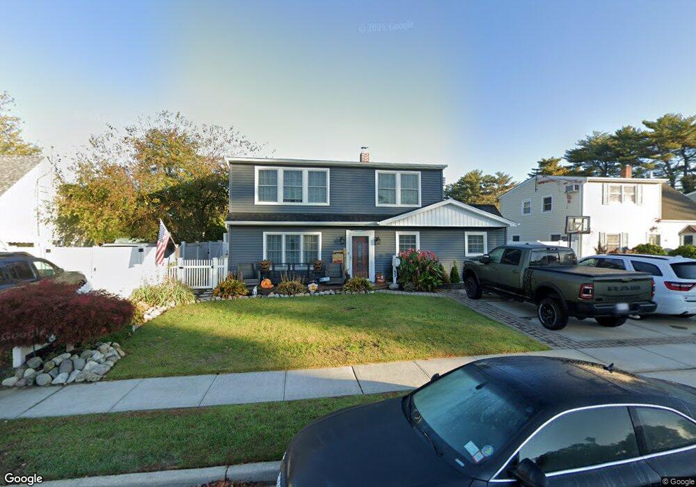
53 Stirrup Ln Levittown, NY 11756
Estimated Value: $697,964 - $803,000
--
Bed
2
Baths
1,456
Sq Ft
$515/Sq Ft
Est. Value
About This Home
This home is located at 53 Stirrup Ln, Levittown, NY 11756 and is currently estimated at $750,482, approximately $515 per square foot. 53 Stirrup Ln is a home located in Nassau County with nearby schools including Gardiners Avenue School, Jonas E. Salk Middle School, and Gen. Douglas MacArthur Senior High School.
Ownership History
Date
Name
Owned For
Owner Type
Purchase Details
Closed on
Jun 24, 2009
Sold by
Kupperman Lawrence and Kupperman Debra
Bought by
Marciano Joseph and Marciano Michelle
Current Estimated Value
Home Financials for this Owner
Home Financials are based on the most recent Mortgage that was taken out on this home.
Original Mortgage
$334,500
Outstanding Balance
$213,159
Interest Rate
4.93%
Mortgage Type
VA
Estimated Equity
$537,323
Purchase Details
Closed on
Dec 19, 2003
Sold by
Ardito Robert
Bought by
Kupferman Lawrence
Create a Home Valuation Report for This Property
The Home Valuation Report is an in-depth analysis detailing your home's value as well as a comparison with similar homes in the area
Home Values in the Area
Average Home Value in this Area
Purchase History
| Date | Buyer | Sale Price | Title Company |
|---|---|---|---|
| Marciano Joseph | $327,500 | -- | |
| Kupferman Lawrence | $314,000 | -- |
Source: Public Records
Mortgage History
| Date | Status | Borrower | Loan Amount |
|---|---|---|---|
| Open | Marciano Joseph | $334,500 |
Source: Public Records
Tax History Compared to Growth
Tax History
| Year | Tax Paid | Tax Assessment Tax Assessment Total Assessment is a certain percentage of the fair market value that is determined by local assessors to be the total taxable value of land and additions on the property. | Land | Improvement |
|---|---|---|---|---|
| 2025 | $12,090 | $397 | $211 | $186 |
| 2024 | $3,696 | $404 | $215 | $189 |
| 2023 | $11,354 | $415 | $221 | $194 |
| 2022 | $11,354 | $415 | $221 | $194 |
| 2021 | $12,260 | $395 | $210 | $185 |
| 2020 | $8,298 | $519 | $443 | $76 |
| 2019 | $8,684 | $553 | $472 | $81 |
| 2018 | $8,884 | $553 | $0 | $0 |
| 2017 | $5,699 | $606 | $472 | $134 |
| 2016 | $8,983 | $606 | $472 | $134 |
| 2015 | $3,044 | $606 | $472 | $134 |
| 2014 | $3,044 | $606 | $472 | $134 |
| 2013 | $2,579 | $606 | $472 | $134 |
Source: Public Records
Map
Nearby Homes
- 39 Stirrup Ln
- 201 Sprucewood Dr
- 59 Springtime Ln S
- 685 Gardiners Ave
- 267 Sprucewood Dr
- 244 Water Ln S
- 146 Springtime Ln W
- 88 Anchor Ln
- 693 Wantagh Ave
- 126 Swan Ln
- 17 Club Ln
- 181 Springtime Ln N
- 63 Anchor Ln
- 19 Wayside Ln
- 341 Red Maple Dr S
- 20 Baker Ln
- 12 Slate Ln
- 37 Star Ln
- 133 Spring Ln
- 159 Spring Ln