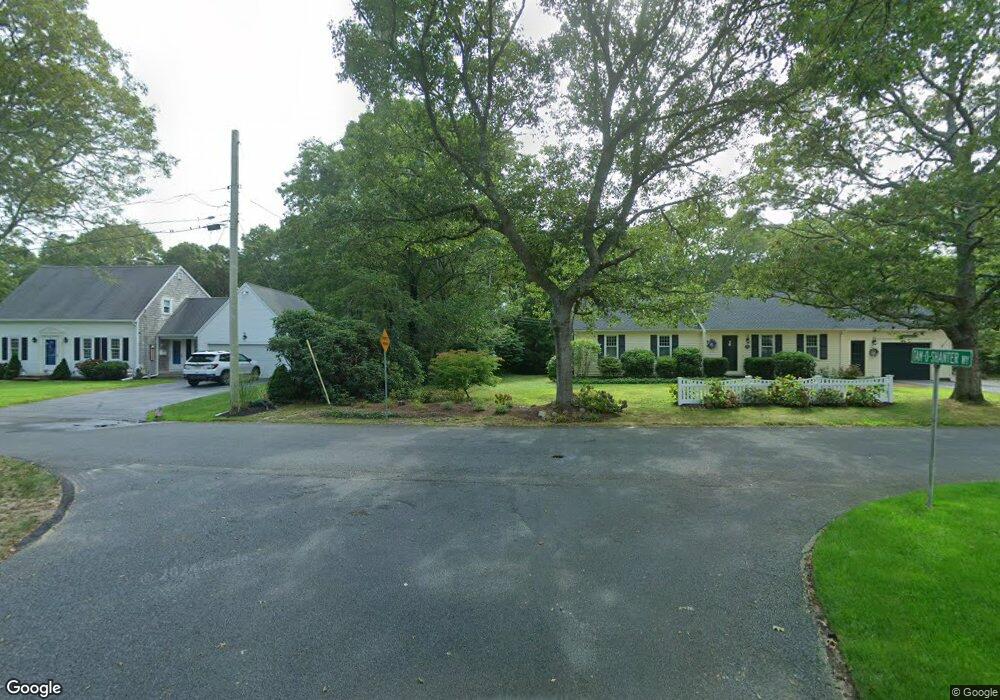
53 Tam o Shanter Way Yarmouth, ME 04096
Estimated Value: $2,182,000 - $2,964,771
4
Beds
5
Baths
4,380
Sq Ft
$588/Sq Ft
Est. Value
About This Home
This home is located at 53 Tam o Shanter Way, Yarmouth, ME 04096 and is currently estimated at $2,573,386, approximately $587 per square foot. 53 Tam o Shanter Way is a home with nearby schools including William H. Rowe School, Yarmouth Elementary School, and Frank H. Harrison Middle School.
Ownership History
Date
Name
Owned For
Owner Type
Purchase Details
Closed on
Jun 23, 2017
Sold by
Douglas H Calby Ret
Bought by
Karen Mckeel Calby Ret
Current Estimated Value
Purchase Details
Closed on
Feb 22, 2011
Sold by
Calby Douglas H
Bought by
Douglas H Calby Ret
Purchase Details
Closed on
Oct 30, 2007
Sold by
Bernard Patricia W
Bought by
Calby Douglas H
Create a Home Valuation Report for This Property
The Home Valuation Report is an in-depth analysis detailing your home's value as well as a comparison with similar homes in the area
Home Values in the Area
Average Home Value in this Area
Purchase History
| Date | Buyer | Sale Price | Title Company |
|---|---|---|---|
| Karen Mckeel Calby Ret | -- | -- | |
| Douglas H Calby Ret | -- | -- | |
| Calby Douglas H | -- | -- |
Source: Public Records
Tax History Compared to Growth
Tax History
| Year | Tax Paid | Tax Assessment Tax Assessment Total Assessment is a certain percentage of the fair market value that is determined by local assessors to be the total taxable value of land and additions on the property. | Land | Improvement |
|---|---|---|---|---|
| 2024 | $49,299 | $1,920,500 | $765,600 | $1,154,900 |
| 2023 | $45,209 | $1,920,500 | $765,600 | $1,154,900 |
| 2022 | $41,521 | $1,920,500 | $765,600 | $1,154,900 |
| 2021 | $38,026 | $1,920,500 | $765,600 | $1,154,900 |
| 2020 | $37,642 | $1,920,500 | $765,600 | $1,154,900 |
| 2019 | $36,221 | $1,920,500 | $765,600 | $1,154,900 |
| 2018 | $34,185 | $1,920,500 | $765,600 | $1,154,900 |
| 2017 | $32,956 | $1,920,500 | $765,600 | $1,154,900 |
| 2016 | $32,764 | $1,920,500 | $765,600 | $1,154,900 |
| 2015 | $30,551 | $1,417,000 | $693,300 | $723,700 |
| 2014 | $30,607 | $1,417,000 | $693,300 | $723,700 |
| 2013 | $31,174 | $1,417,000 | $0 | $0 |
Source: Public Records
Map
Nearby Homes
- 51 Meeting House Farms Rd
- 258 Foreside Rd
- 24 York Ledge Dr
- 6 Daybreak Ln Unit 18
- 51 Oakland Ave
- 186 Foreside Rd
- 87 Wharf Rd
- 184 Spruce Point Rd
- 15 Sea Cove Rd
- 86 Pleasant St
- 275 Littlejohn Rd
- 52 Blueberry Cove Rd Unit 52
- 20 Blueberry Cove Rd Unit 20
- 70 Main St
- 24 Mast Ln
- 59 Underwood Rd
- 149 E Main St Unit 7
- 30 Seaside Way Unit Lot 3
- 1 Railroad Square Unit Townhome C
- 1 Railroad Square Unit 103
- 93 Sea Spray Reach
- 748 Princes Point Rd
- 734 Princes Point Rd
- 91 Sea Spray Reach
- 95 Sea Spray Reach
- Lot 0 Folly Cove Rd
- 0 Folly Cove Rd Unit 1335535
- 1 Folly Cove Rd
- 909 Princes Point Rd
- 94 Sea Spray Reach
- 61 Sea Spray Reach
- 749 Princes Point Rd
- Lot 0 Princes Pt Rd
- 82 Sea Spray Reach
- 897 Princes Point Rd
- 670 Princes Point
- 670 Princess Point
- 670 Princes Point Rd
- 7 Sandpiper Cove Rd
- 791 Princes Point Rd