53 Taylor Ridge Rd Blue Ridge, GA 30513
Estimated Value: $406,694 - $552,000
2
Beds
2
Baths
1,344
Sq Ft
$339/Sq Ft
Est. Value
About This Home
This home is located at 53 Taylor Ridge Rd, Blue Ridge, GA 30513 and is currently estimated at $456,174, approximately $339 per square foot. 53 Taylor Ridge Rd is a home located in Gilmer County with nearby schools including Ellijay Elementary School, Clear Creek Elementary School, and Gilmer Middle School.
Ownership History
Date
Name
Owned For
Owner Type
Purchase Details
Closed on
Jun 1, 2009
Sold by
Thomas Ralph W
Bought by
Jenkins Carol T and Thomas Ralph W
Current Estimated Value
Purchase Details
Closed on
Feb 1, 1995
Bought by
Thomas Ralph W and Thomas Patricia C
Purchase Details
Closed on
Mar 1, 1994
Bought by
Thomas Ralph W
Purchase Details
Closed on
Dec 1, 1993
Bought by
Thomas Ralph W
Purchase Details
Closed on
Mar 1, 1993
Bought by
Thomas Ralph W
Create a Home Valuation Report for This Property
The Home Valuation Report is an in-depth analysis detailing your home's value as well as a comparison with similar homes in the area
Home Values in the Area
Average Home Value in this Area
Purchase History
| Date | Buyer | Sale Price | Title Company |
|---|---|---|---|
| Jenkins Carol T | -- | -- | |
| Jenkins Carol T | -- | -- | |
| Thomas Ralph W | -- | -- | |
| Thomas Ralph W | $600 | -- | |
| Thomas Ralph W | $59,900 | -- | |
| Thomas Ralph W | $39,900 | -- |
Source: Public Records
Tax History Compared to Growth
Tax History
| Year | Tax Paid | Tax Assessment Tax Assessment Total Assessment is a certain percentage of the fair market value that is determined by local assessors to be the total taxable value of land and additions on the property. | Land | Improvement |
|---|---|---|---|---|
| 2025 | $2,363 | $143,816 | $45,880 | $97,936 |
| 2024 | $2,363 | $152,504 | $51,000 | $101,504 |
| 2023 | $2,648 | $165,544 | $51,000 | $114,544 |
| 2022 | $2,123 | $120,624 | $28,000 | $92,624 |
| 2021 | $1,850 | $93,204 | $24,000 | $69,204 |
| 2020 | $1,659 | $75,408 | $24,000 | $51,408 |
| 2019 | $1,706 | $75,320 | $24,000 | $51,320 |
| 2018 | $1,728 | $75,320 | $24,000 | $51,320 |
| 2017 | $1,742 | $70,800 | $24,000 | $46,800 |
| 2016 | $1,805 | $71,920 | $24,000 | $47,920 |
| 2015 | $1,677 | $68,040 | $36,000 | $32,040 |
| 2014 | $1,222 | $47,680 | $18,000 | $29,680 |
| 2013 | -- | $42,320 | $12,000 | $30,320 |
Source: Public Records
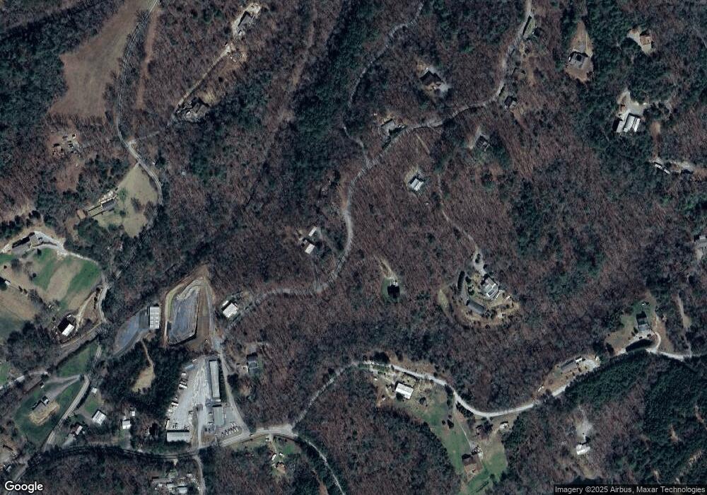
Map
Nearby Homes
- 1427 Cherry Lake Dr
- 57 Coffee Pot Dr
- 226 Lakeside Dr
- 97 Doyle Carder Pkwy
- 184 Smith Hill Rd
- 348 Cherry Lake Dr
- 50 Lakeview Dr
- 50 Lakeview Dr Unit 26
- 90 Dupont Dr
- 556 Cherry Lake Dr
- 156 Dupont Dr
- 638 Cohutta Mountain Rd Unit 159
- 638 Cohutta Mountain Rd
- 7 Ascherman Ct
- 73 Rosiey Ln
- 73 Rosiey Ln Unit 356
- 93 Anderson Dr
- 986 Joann Sisson Rd
- 237 Dupont Dr
- 237 Dupont Dr Unit 344
- 29 Taylor Ridge Rd
- 83 Taylor Ridge Rd
- 165 Overlook Dr
- 165 Overlook Dr
- 645 Granny Branch
- 645 Granny Branch Dr
- 483 Granny Branch Dr Unit 24
- 483 Granny Branch Dr
- 74 Taylor Ridge Rd
- 106 Taylor Ridge Rd Unit 12
- 977 Granny Branch Dr
- 967 Granny Branch Dr
- 125 Taylor Ridge Rd
- 527 Granny Branch Dr
- 435 Granny Branch Dr
- 125 Overlook Dr
- 125 Overlook Dr
- 267 Granny
- 610 Granny Branch Dr
- 976 Granny Branch Dr