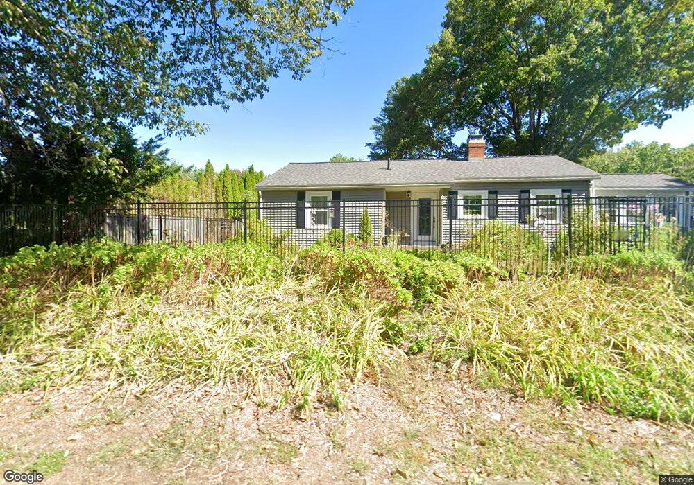
53 Townsend Rd Shirley, MA 01464
Estimated Value: $448,000 - $557,000
3
Beds
1
Bath
1,166
Sq Ft
$412/Sq Ft
Est. Value
About This Home
This home is located at 53 Townsend Rd, Shirley, MA 01464 and is currently estimated at $479,943, approximately $411 per square foot. 53 Townsend Rd is a home located in Middlesex County with nearby schools including Page Hilltop School, Lura A. White Elementary School, and Ayer Shirley Regional Middle School.
Ownership History
Date
Name
Owned For
Owner Type
Purchase Details
Closed on
Jul 7, 2003
Sold by
Milburn Elizabeth A and Milburn Robert L
Bought by
Milburn Elizabeth A and Milburn Robert L
Current Estimated Value
Home Financials for this Owner
Home Financials are based on the most recent Mortgage that was taken out on this home.
Original Mortgage
$233,500
Interest Rate
5.46%
Purchase Details
Closed on
Jul 5, 2001
Sold by
Kohn Judith T
Bought by
Milburn Robert L and Milburn Elizabeth A
Home Financials for this Owner
Home Financials are based on the most recent Mortgage that was taken out on this home.
Original Mortgage
$184,500
Interest Rate
7.21%
Mortgage Type
Purchase Money Mortgage
Create a Home Valuation Report for This Property
The Home Valuation Report is an in-depth analysis detailing your home's value as well as a comparison with similar homes in the area
Home Values in the Area
Average Home Value in this Area
Purchase History
| Date | Buyer | Sale Price | Title Company |
|---|---|---|---|
| Milburn Elizabeth A | -- | -- | |
| Milburn Robert L | $205,000 | -- |
Source: Public Records
Mortgage History
| Date | Status | Borrower | Loan Amount |
|---|---|---|---|
| Open | Milburn Robert L | $200,920 | |
| Closed | Milburn Elizabeth A | $233,500 | |
| Previous Owner | Milburn Robert L | $184,500 |
Source: Public Records
Tax History Compared to Growth
Tax History
| Year | Tax Paid | Tax Assessment Tax Assessment Total Assessment is a certain percentage of the fair market value that is determined by local assessors to be the total taxable value of land and additions on the property. | Land | Improvement |
|---|---|---|---|---|
| 2025 | $48 | $372,100 | $140,600 | $231,500 |
| 2024 | $4,792 | $353,100 | $128,600 | $224,500 |
| 2023 | $4,667 | $329,100 | $128,600 | $200,500 |
| 2022 | $4,550 | $293,900 | $124,600 | $169,300 |
| 2021 | $4,455 | $269,500 | $112,600 | $156,900 |
| 2020 | $4,271 | $265,100 | $112,600 | $152,500 |
| 2019 | $4,104 | $255,200 | $112,600 | $142,600 |
| 2018 | $3,763 | $229,200 | $107,800 | $121,400 |
| 2017 | $3,664 | $221,800 | $104,600 | $117,200 |
| 2016 | $3,593 | $217,600 | $104,600 | $113,000 |
| 2015 | $3,575 | $206,500 | $103,000 | $103,500 |
Source: Public Records
Map
Nearby Homes
- 22 Townsend Rd
- 10 Townsend Rd
- 43 Longley Rd
- 92 Squannacook Rd
- 88 Squannacook Rd
- 11 Longley Rd Unit K8
- 49 Parker Rd
- 65 W Main St
- 166 Elmwood Rd
- 15 Hayes Woods Ln
- Lot 10 Christian Cir
- 124 Hazen Rd
- 137 Hill Rd
- 21 Magnolia Ln
- 116 Townsend Harbor Rd
- 110 Burrage St
- 147 Shirley St
- 167 S Row Rd
- 895 Flat Hill Rd
- 55 Beachview Rd
- 54 Townsend Rd
- 55 Townsend Rd
- 51 Townsend Rd
- 57 Townsend Rd
- 58 Townsend Rd
- 59 Townsend Rd
- 44 Townsend Rd
- 1 Garrison Rd
- 102 Groton Rd
- 60 Townsend Rd
- 116 Groton Rd
- 106 Groton Rd
- 41 Townsend Rd
- Lot 1-A Groton Rd
- 39 Townsend Rd
- 118 Groton Rd
- 118 Groton Rd Unit 118
- 112 Groton Rd
- 114 Groton Rd
- 5 Garrison Rd