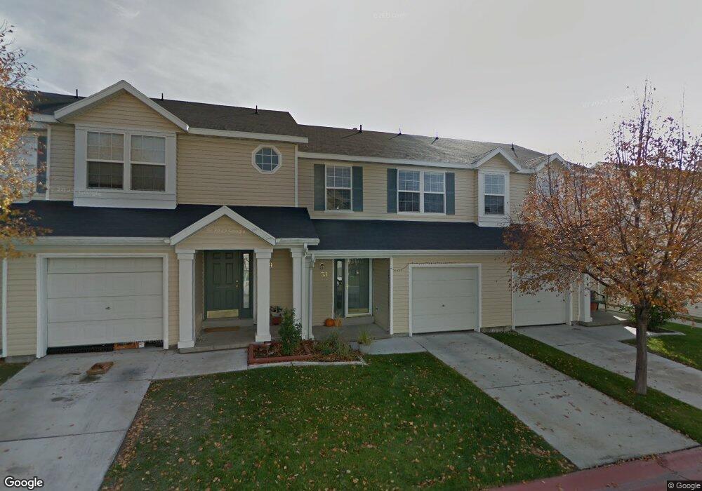
53 W 1930 N Tooele, UT 84074
Estimated Value: $292,000 - $321,000
2
Beds
2
Baths
1,291
Sq Ft
$234/Sq Ft
Est. Value
About This Home
This home is located at 53 W 1930 N, Tooele, UT 84074 and is currently estimated at $302,275, approximately $234 per square foot. 53 W 1930 N is a home located in Tooele County with nearby schools including Overlake Elementary School, Clarke N. Johnsen Junior High School, and Stansbury High School.
Ownership History
Date
Name
Owned For
Owner Type
Purchase Details
Closed on
Jun 11, 2019
Sold by
London Carrie
Bought by
Knight Kristen
Current Estimated Value
Home Financials for this Owner
Home Financials are based on the most recent Mortgage that was taken out on this home.
Original Mortgage
$169,750
Outstanding Balance
$149,252
Interest Rate
4.1%
Mortgage Type
New Conventional
Estimated Equity
$153,023
Purchase Details
Closed on
Aug 3, 2017
Sold by
Andrews Jennifer and Andrews Craig R
Bought by
London Carrie
Home Financials for this Owner
Home Financials are based on the most recent Mortgage that was taken out on this home.
Original Mortgage
$105,520
Interest Rate
3.9%
Mortgage Type
New Conventional
Purchase Details
Closed on
Dec 8, 2006
Sold by
Bennion Daniel B and Bennion Lynn H
Bought by
Andrews Craig R and Andrews Jennifer
Home Financials for this Owner
Home Financials are based on the most recent Mortgage that was taken out on this home.
Original Mortgage
$23,000
Interest Rate
6.32%
Mortgage Type
Stand Alone Second
Create a Home Valuation Report for This Property
The Home Valuation Report is an in-depth analysis detailing your home's value as well as a comparison with similar homes in the area
Home Values in the Area
Average Home Value in this Area
Purchase History
| Date | Buyer | Sale Price | Title Company |
|---|---|---|---|
| Knight Kristen | -- | Metro National Title | |
| London Carrie | -- | Sutherland Title Company | |
| Andrews Craig R | -- | Metro National Title |
Source: Public Records
Mortgage History
| Date | Status | Borrower | Loan Amount |
|---|---|---|---|
| Open | Knight Kristen | $169,750 | |
| Previous Owner | London Carrie | $105,520 | |
| Previous Owner | Andrews Craig R | $23,000 |
Source: Public Records
Tax History Compared to Growth
Tax History
| Year | Tax Paid | Tax Assessment Tax Assessment Total Assessment is a certain percentage of the fair market value that is determined by local assessors to be the total taxable value of land and additions on the property. | Land | Improvement |
|---|---|---|---|---|
| 2025 | $1,948 | $285,480 | $73,000 | $212,480 |
| 2024 | $2,100 | $155,273 | $55,000 | $100,273 |
| 2023 | $2,100 | $146,398 | $36,300 | $110,098 |
| 2022 | $1,394 | $115,154 | $41,250 | $73,904 |
| 2021 | $1,487 | $102,155 | $13,750 | $88,405 |
| 2020 | $1,404 | $169,808 | $25,000 | $144,808 |
| 2019 | $1,220 | $146,164 | $17,284 | $128,880 |
| 2018 | $1,036 | $118,104 | $15,000 | $103,104 |
| 2017 | $807 | $108,731 | $15,000 | $93,731 |
| 2016 | $651 | $53,078 | $8,250 | $44,828 |
| 2015 | $651 | $46,207 | $0 | $0 |
| 2014 | -- | $46,207 | $0 | $0 |
Source: Public Records
Map
Nearby Homes
- 39 W 1930 N
- 69 1930 N
- 1909 N 70 W
- 81 W 1930 N
- 1885 N 70 W Unit 619
- 1893 N 70 W
- 1893 N 70 W Unit 620
- 1877 N 70 W Unit 618
- 1861 N 70 W Unit 616
- 2057 N Loxley Dr
- Drysdale Twinhomes Plan at Drysdale Twinhomes
- 2065 N Loxley Dr
- 1778 Brett St
- 1969 N 270 W
- 2117 N 170 W
- 2177 N 130 W
- 2155 N 170 W
- 61 W 1570 N
- 94 E Broxburn Way
- 1206 N Berra Blvd