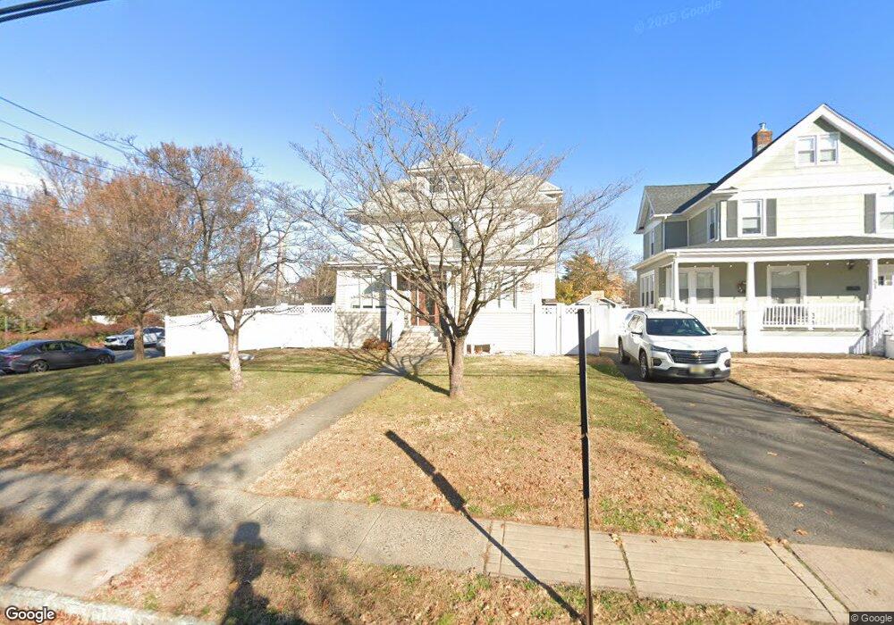
53 W High St Bound Brook, NJ 08805
Estimated Value: $579,000 - $636,000
--
Bed
--
Bath
2,046
Sq Ft
$300/Sq Ft
Est. Value
About This Home
This home is located at 53 W High St, Bound Brook, NJ 08805 and is currently estimated at $613,142, approximately $299 per square foot. 53 W High St is a home located in Somerset County with nearby schools including LaMonte Annex Elementary School, Lafayette Elementary School, and Bound Brook High School.
Ownership History
Date
Name
Owned For
Owner Type
Purchase Details
Closed on
Jan 2, 2018
Sold by
Arias Arley and Arias Milly
Bought by
Martinez Marcos and Us Bank Na
Current Estimated Value
Purchase Details
Closed on
Aug 28, 2006
Sold by
Arias Arley
Bought by
Arias Arley and Arias Milly
Home Financials for this Owner
Home Financials are based on the most recent Mortgage that was taken out on this home.
Original Mortgage
$360,000
Interest Rate
6.79%
Purchase Details
Closed on
Dec 3, 2004
Sold by
Mitzak Valerie
Bought by
Arias Arley
Home Financials for this Owner
Home Financials are based on the most recent Mortgage that was taken out on this home.
Original Mortgage
$332,500
Interest Rate
5.69%
Create a Home Valuation Report for This Property
The Home Valuation Report is an in-depth analysis detailing your home's value as well as a comparison with similar homes in the area
Home Values in the Area
Average Home Value in this Area
Purchase History
| Date | Buyer | Sale Price | Title Company |
|---|---|---|---|
| Martinez Marcos | -- | None Available | |
| Arias Arley | -- | -- | |
| Arias Arley | $350,000 | -- |
Source: Public Records
Mortgage History
| Date | Status | Borrower | Loan Amount |
|---|---|---|---|
| Previous Owner | Arias Arley | $360,000 | |
| Previous Owner | Arias Arley | $332,500 |
Source: Public Records
Tax History Compared to Growth
Tax History
| Year | Tax Paid | Tax Assessment Tax Assessment Total Assessment is a certain percentage of the fair market value that is determined by local assessors to be the total taxable value of land and additions on the property. | Land | Improvement |
|---|---|---|---|---|
| 2025 | $12,307 | $570,900 | $226,100 | $344,800 |
| 2024 | $12,307 | $542,400 | $207,100 | $335,300 |
| 2023 | $11,931 | $506,000 | $178,600 | $327,400 |
| 2022 | $11,723 | $471,200 | $159,600 | $311,600 |
| 2021 | $10,928 | $402,600 | $121,600 | $281,000 |
| 2020 | $11,119 | $360,200 | $102,600 | $257,600 |
| 2019 | $10,928 | $337,600 | $83,600 | $254,000 |
| 2018 | $11,362 | $340,800 | $83,600 | $257,200 |
| 2017 | $11,461 | $336,000 | $83,600 | $252,400 |
| 2016 | $11,143 | $329,100 | $64,600 | $264,500 |
| 2015 | $9,983 | $301,500 | $69,400 | $232,100 |
| 2014 | $9,684 | $282,500 | $50,400 | $232,100 |
Source: Public Records
Map
Nearby Homes
- 102 W Franklin St
- 126 W High St
- 130 W High St Unit 132
- 320 Church St
- 40 van Keuren Ave Unit 42
- 34 van Keuren Ave Unit 38
- 520 Winsor St
- 112-114 E Union Ave
- 2 Drake St
- 112 E Union Ave
- 14 E Maple Ave
- 307 W Union Ave
- 248 W High St
- 563 Winsor St
- 112 East St
- 581 Mountain Ave
- 650 Central Ave
- 597 Mountain Ave
- 105 La Monte Ave
- 606 Vosseller Ave
- 51 W High St
- 49 W High St
- 101 W High St
- 45 W High St
- 58 W Franklin St
- 54 W Franklin St
- 102 W Franklin St Unit 2
- 50 W Franklin St
- 41 W High St
- 109 W High St
- 48 W Franklin St
- 110 W Franklin St
- 102 W High St
- 37 W High St
- 112 W Franklin St
- 44 W Franklin St
- 111 W High St Unit 113
- 112 W High St
- 116 W Franklin St
- 38 W High St